1 m away
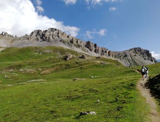
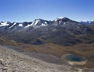
Via Alpina: Tignes Lake to Leisse Refuge
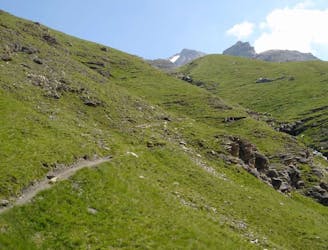
From the shores of Tignes Lake, pass two Cols on your way to the peaceful refuge below Grande Motte.
Moderate Hiking
- Distance
- 12 km
- Ascent
- 701 m
- Descent
- 306 m
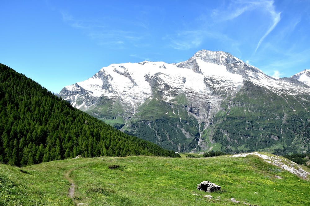
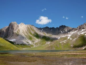
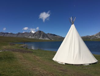
A lovely route with lakes, a dam, traditional alpine hamlets, and beautiful views of Mount Pourri.
Hiking Moderate

This is one of the stages of the mammoth, trans-national Via Alpina route. It can be undertaken as an out-and-back route on its own, added to another route for a longer itinerary, or completed as part of the Via Alpina network in either direction.
This easy route describes starting from Tignes but it can also be started from Le Monal and just followed in reverse. The route is within the Vanoise National Park.
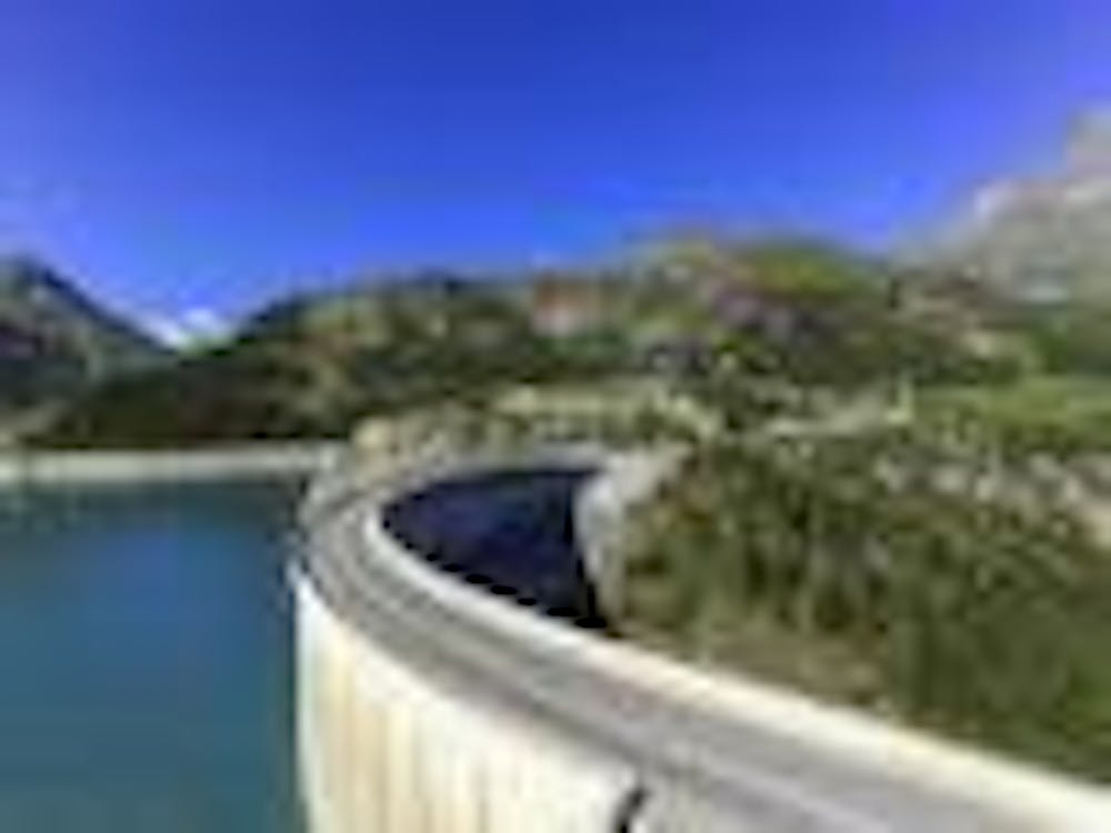
Starting from Tignes Lake, the route follows the trail up and away from the resort beside the Palafour lift. Once you've gained a bit of height, the route traverses nicely without much effort and provides a wonderful view of Lac du Chevril. From here, the route is downhill towards the dam.
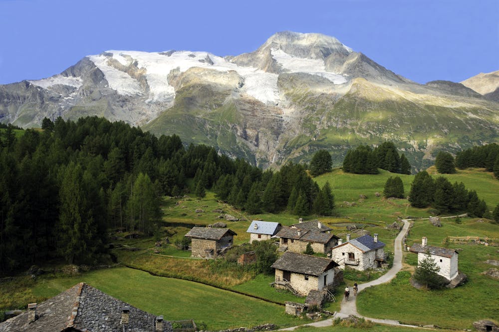
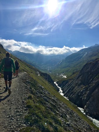
After crossing the dam, the trail climbs steadily across the other side of the valley through forests, and then along a balcony with alpine pastures, before reaching several traditional alpine hamlets facing the Mount Pourri glaciers.
You can expect mostly easy singletrack with small, loose stones throughout this route. You'll also find some roots through the trees. If it has rained recently, there could be some muddy sections through the forested areas.
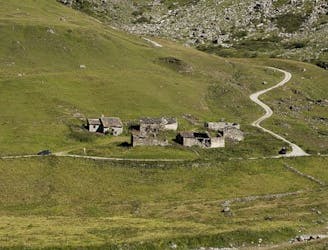
Le Monal’s mountain chalets have been conserved in all their authenticity since the 18th and 19th centuries. Due to its great architectural, historic, and geographical significance, the Hamlet is classified. It occupies a privileged position on the mountainside in front of the Massif of Mount Pourri. It's surrounded by mélèze forest rising out of the Valley of Clou.
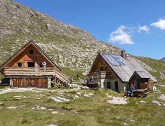
You can buy refreshments and stay overnight at Refuge le Monal: www.refugedumonal.com
For Park regulations, see: www.vanoise-parcnational.fr
Moderate
Hiking along trails with some uneven terrain and small hills. Small rocks and roots may be present.

The path is on completely flat land and potential injury is limited to falling over.

Away from help but easily accessed.
1 m away
From the shores of Tignes Lake, pass two Cols on your way to the peaceful refuge below Grande Motte.
Moderate Hiking
26 m away
Instead of riding the lift, follow this hike to reach the top of the Palafour Lift and extend the Aiguille Percée hike.
Moderate Hiking
28 m away
A combination of the Tignes Resort and the heart of the national park. The contrast is amazing but telling of the history of the Vanoise.
Moderate Hiking
1.3 km away
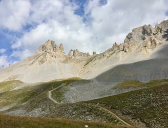
A hike to one of the best geological curiosities in Vanoise National Park: the "eye of the needle" and a spectacular high alpine ridgeline trail.
Difficult Hiking
1.9 km away
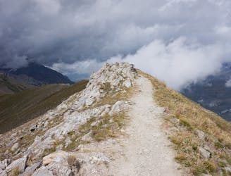
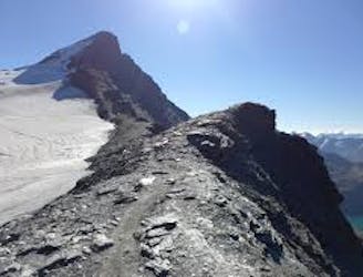
A true alpine experience with high exposure along the Tovière ridge.
Moderate Hiking
3.8 km away
This summit climb provides a high alpine challenge along a ridgeline beside Sassière glacier, with stunning views the entire route.
Difficult Hiking
5.9 km away
A stunning and strenuous round circuit through the Bailletaz Nature Reserve, passing above the glacial Lac de la Sassière.
Difficult Hiking
5.9 km away
Discover Lac d'Ouillette, hidden from view from the Val d'Isere resort and onwards to a remote, rugged Col.
Moderate Hiking
7.3 km away
This hike towards the Col and Lake Grand Fond in Vanoise National Park offers a superb view of the glaciers, the peaks, and a beautiful lake.
Difficult Hiking
8.3 km away
A long-distance hike with a rare landscape on arrival.
Moderate Hiking
8 routes · Hiking

14 routes · Hiking