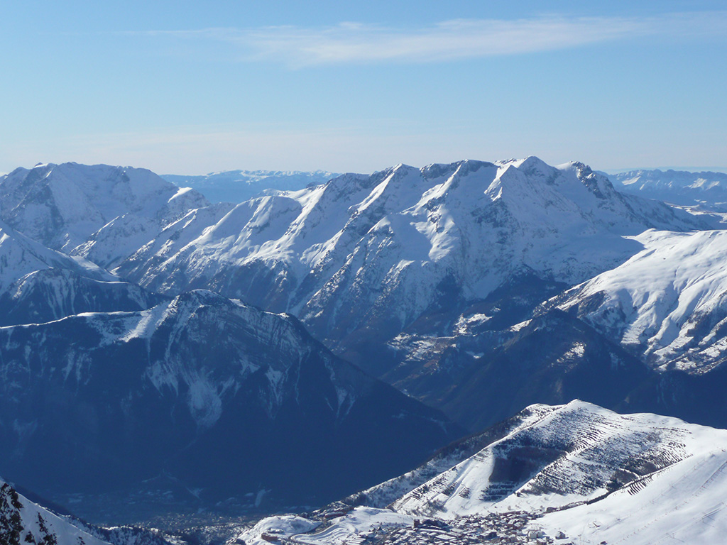
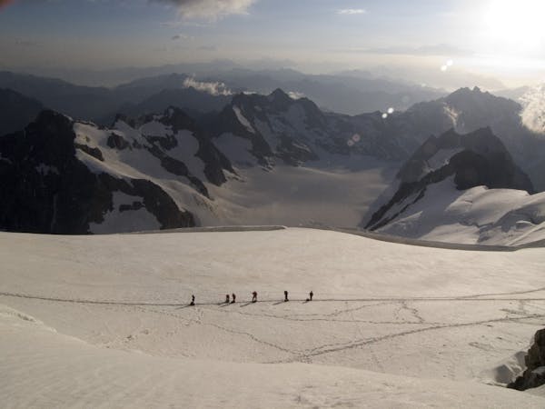
97 routes · Ski Touring · Mountain Biking · Hiking · Alpine Climbing
Hiking in Isère
Go hiking in Isère with curated guides of the best hikes across the region. With over 93 3D trail maps in FATMAP, you can easily discover and navigate the best trails in Isère.
No matter what your next adventure has in store, you can find a guide on FATMAP to help you plan your next epic trip.
Get a top hiking trail recommendation in Isère from one of our 6 guidebooks, or get inspired by the 93 local adventures uploaded by the FATMAP community. Start exploring now!
Hiking Destinations in Isère
69 routes · Ski Touring · Hiking · Alpine Climbing · Trail Running
Saint-Jean-de-Maurienne
63 routes · Hiking · Ski Touring · Alpine Climbing
Grenoble
![Les Deux Alpes and La Grave](https://fatmap-assets.imgix.net/resorts/LesDeuxAlpes.jpg)
39 routes · Freeride Skiing
Les Deux Alpes and La Grave
27 routes · Hiking · Mountain Biking
Chambéry
![La Grave](https://fatmap-assets.imgix.net/resorts/Default.jpg)
24 routes · Freeride Skiing
La Grave
![Alpe d'Huez](https://fatmap-assets.imgix.net/resorts/AlpedHuez.jpg)
15 routes · Freeride Skiing
Alpe d'Huez
15 routes · Hiking
Gap
Hiking Routes in Isère
Approach to the Pilatte Hut
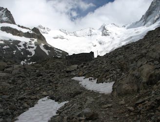
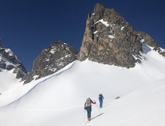
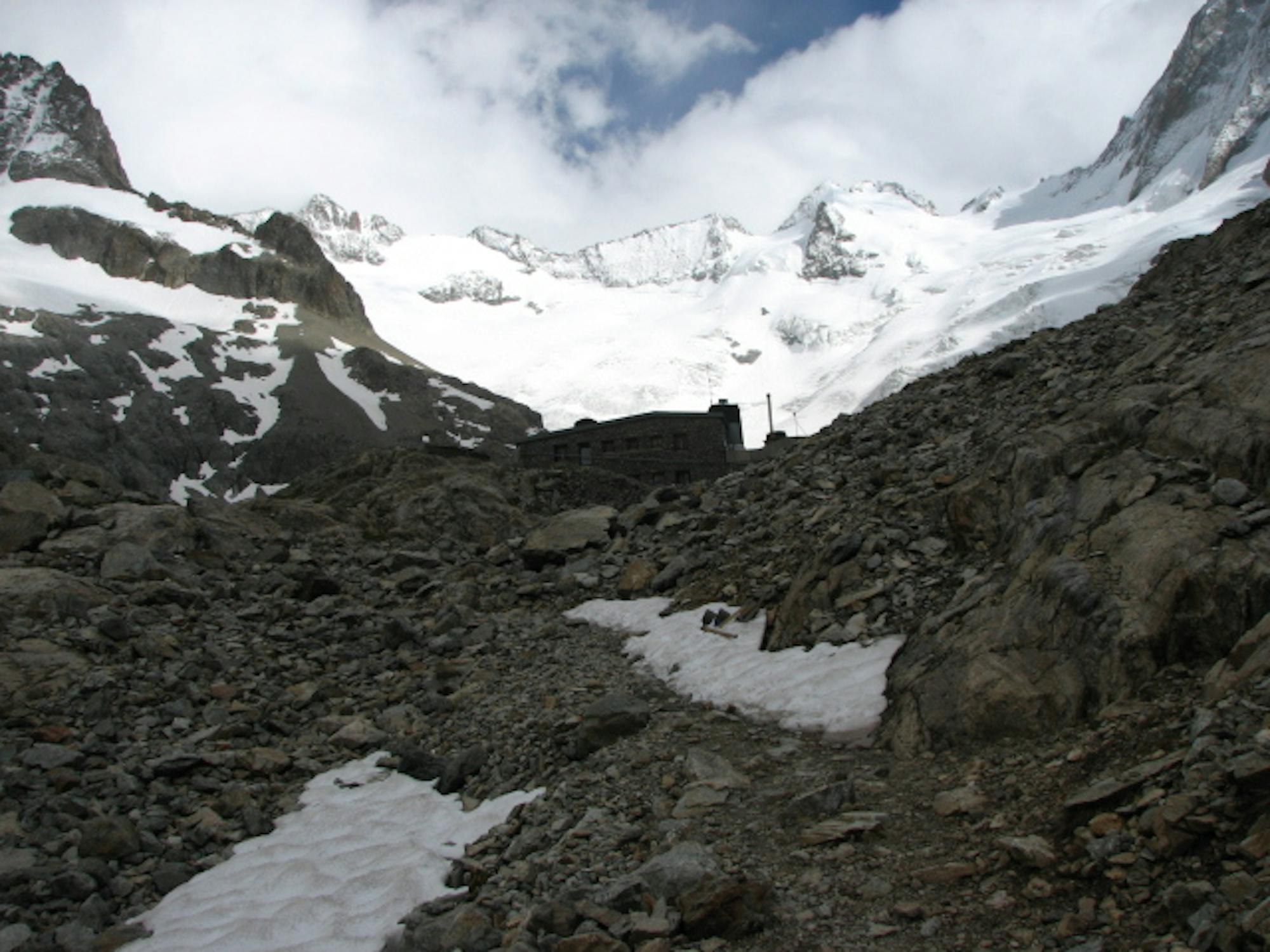
A beautiful walk up a wild valley to a remote hut with an impressive view
Difficult Hiking
- Distance
- 9.9 km
- Ascent
- 891 m
- Descent
- 26 m
Crête des 4 Montagnes
![Crête des 4 Montagnes](https://fatmap-adventure-screenshots.imgix.net/routes/3786766-blank.png?w=328&h=250&auto=compress%2Cformat)
Randonnée de deux jours sur les Crête des 4 Montagnes.
Moderate Hiking
- Distance
- 24 km
- Ascent
- 1.2 km
- Descent
- 1 km
Grand Veymont
Randonnée deux jours passant par le Grand Veymont.
Severe Hiking
- Distance
- 38 km
- Ascent
- 2 km
- Descent
- 2.3 km
Chamechaude
![Chamechaude](https://fatmap-adventure-screenshots.imgix.net/routes/3169572-blank.png?w=328&h=250&auto=compress%2Cformat)
Palaquit - Chamechaude - Route du Col de Porte - La Tronche
Severe Hiking
- Distance
- 21 km
- Ascent
- 969 m
- Descent
- 1.9 km
Marais des Seiglières depuis l'Auberge
![Marais des Seiglières depuis l'Auberge](https://fatmap-adventure-screenshots.imgix.net/routes/3146237-blank.png?w=328&h=250&auto=compress%2Cformat)
rando raquette facile jusqu'au marais
Easy Hiking
- Distance
- 4.8 km
- Ascent
- 155 m
- Descent
- 155 m
Cabane de Pré-Gaudet depuis baraque de Boulas
![Cabane de Pré-Gaudet depuis baraque de Boulas](https://fatmap-adventure-screenshots.imgix.net/routes/3144949-blank.png?w=328&h=250&auto=compress%2Cformat)
rando raquette facile suivant courbe de niveau
Easy Hiking
- Distance
- 4.1 km
- Ascent
- 93 m
- Descent
- 104 m
La Grande Sure
Un parcours qui présente une forte dénivelée au départ
Difficult Hiking
- Distance
- 16 km
- Ascent
- 1.6 km
- Descent
- 1.3 km
Allevard-Monviso
![Allevard-Monviso](https://fatmap-adventure-screenshots.imgix.net/routes/2966803-blank.png?w=328&h=250&auto=compress%2Cformat)
Long distance, high altitude
Extreme Hiking
- Distance
- 253 km
- Ascent
- 16 km
- Descent
- 16 km
Hiking Guidebooks in Isère
6 routes · Alpine Climbing · Hiking