Grand Veymont
Grenoble
Randonnée deux jours passant par le Grand Veymont.
Hiking Severe
- Distance
- 38 km
- Ascent
- 2 km
- Descent
- 2.3 km
- Duration
- 1 day +
- Low Point
- 803 m
- High Point
- 2.3 km
- Gradient
- 16˚

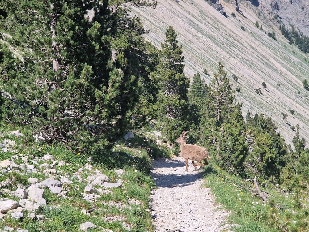
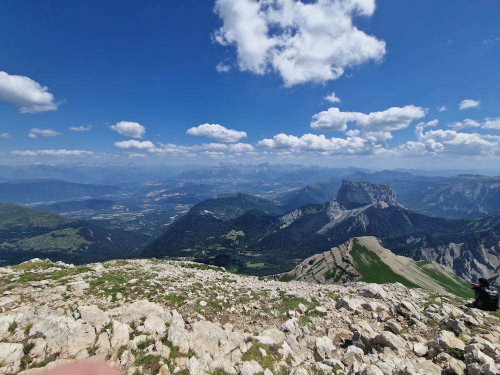
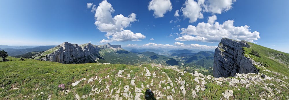
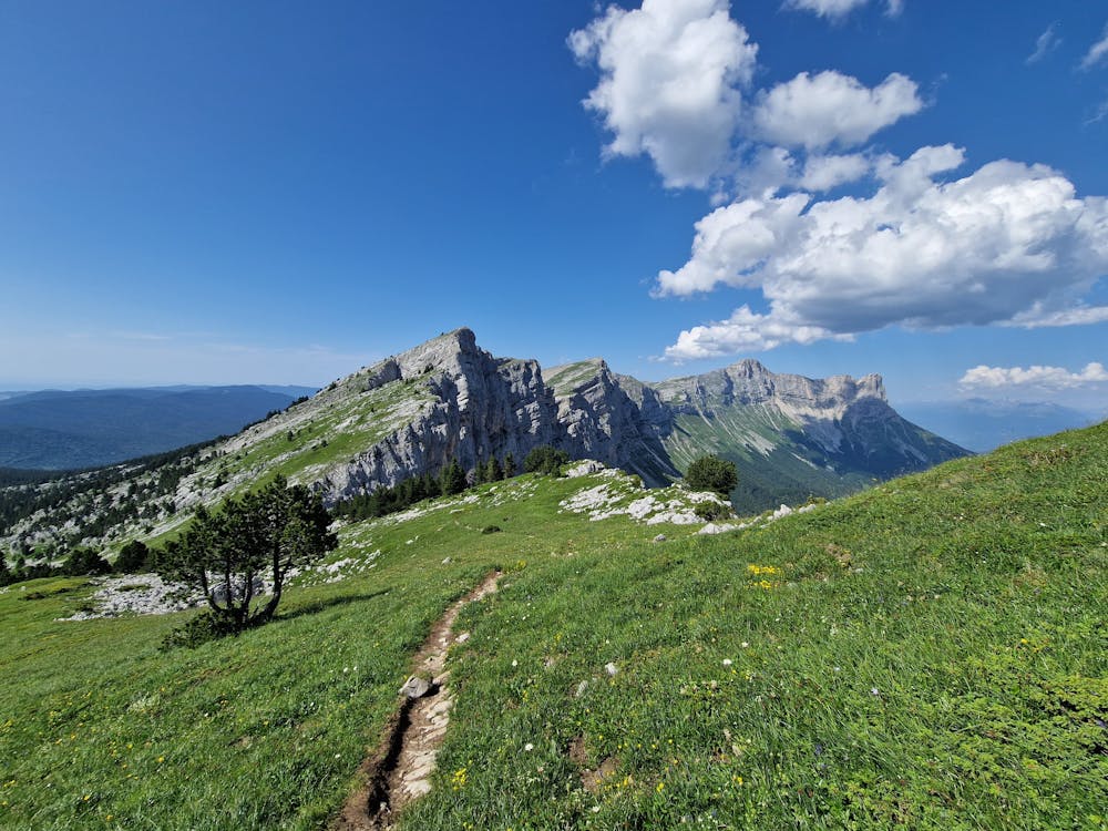
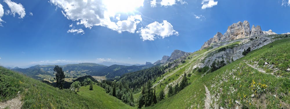
Une randonnée très sympathique partant de Corrençon-en-Vercors et arrivant à Saint-Michel les portes. Elle passe notamment par le grand Veymont et le balcon Est. L'itinéraire a été réalisé en deux jours avec nuit au refuge de la Peyrouse. Possibilité de se ravitailler en eau au niveau du ruisseau des pinées.
- •
- •
- •
- •
- •
Difficulty
Severe
Hiking challenging trails where simple scrambling, with the occasional use of the hands, is a distinct possibility. The trails are often filled with all manner of obstacles both small and large, and the hills are very steep. Obstacles and challenges are often unexpected and can be unpredictable.
Medium Exposure

The trail contains some obstacles such as outcroppings and rock which could cause injury.
Remoteness
Away from help but easily accessed.
Best time to visit
Features
- Picturesque
- Summit Hike
- Wild flowers