Refuge Chancel
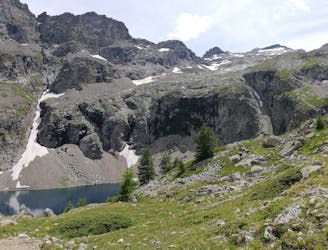
Minimal effort for huge rewards high above La Grave.
Moderate Hiking
- Distance
- 4.6 km
- Ascent
- 296 m
- Descent
- 296 m
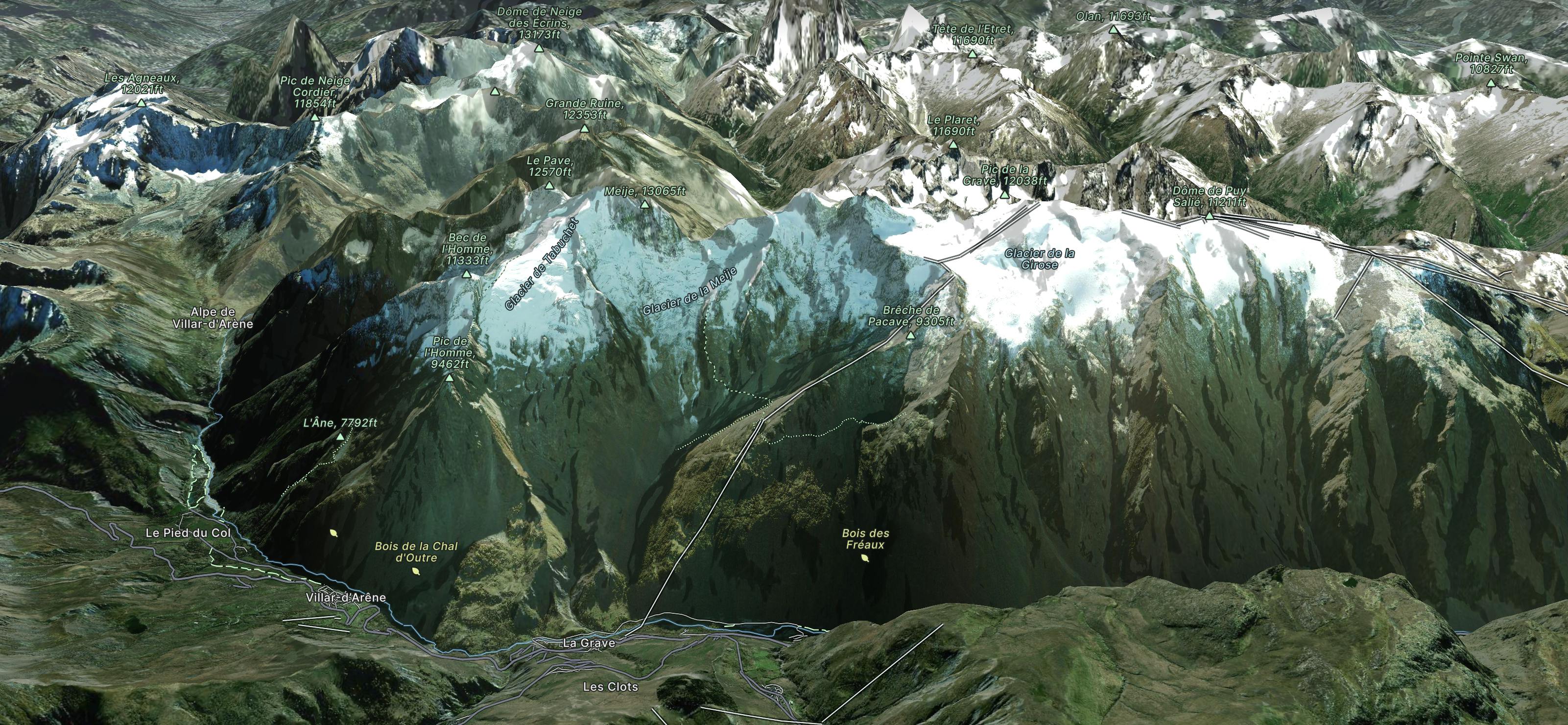
Explore La Grave with curated guides of the best ski routes, and more. With over 24 3D trail maps in FATMAP, you can easily discover and navigate the best trails in La Grave.
No matter what your next adventure has in store, you can find a guide on FATMAP to help you plan your next epic trip.
Get a top trail recommendation in La Grave from one of our 5 guidebooks, or get inspired by the 24 local adventures uploaded by the FATMAP community. Start exploring now!
Minimal effort for huge rewards high above La Grave.
Moderate Hiking
A steep S facing descent to be timed carefully for spring snow
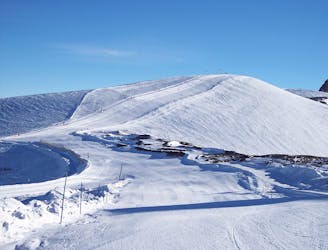
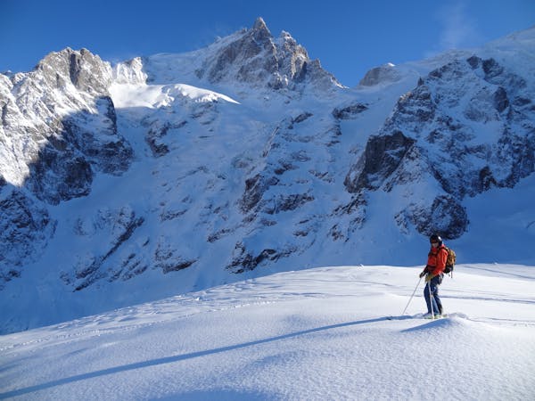
Severe Ski Touring
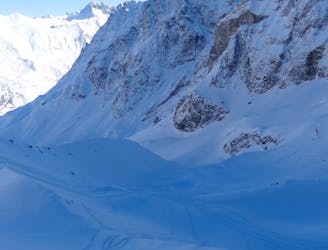
The La Grave mega-classic
Difficult Freeride Skiing
2300m of legendary, serious, wild and committing skiing
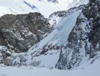
Severe Freeride Skiing

A very serious and wild series of couloirs down to the valley
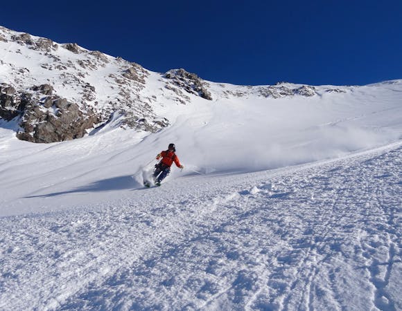
Severe Freeride Skiing

A good introduction to couloir skiing
Difficult Freeride Skiing

A wild adventure and 800m long couloir
Severe Freeride Skiing
A La Grave mega-classic with 1800m of steep North facing skiing back to La Grave
Difficult Freeride Skiing

10 routes · Freeride Skiing
5 routes · Freeride Skiing
7 routes · Ski Touring

50 routes · Freeride Skiing · Ski Touring

15 routes · Freeride Skiing · Ski Touring