291 m away
Vallons de la Meije Classic
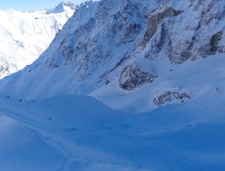
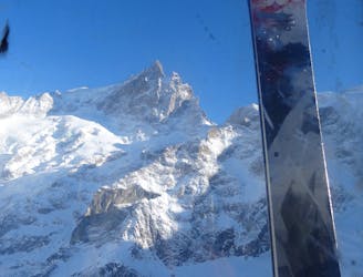
The La Grave mega-classic
Difficult Freeride Skiing
- Distance
- 5.5 km
- Ascent
- 4 m
- Descent
- 1.6 km
A very serious and wild series of couloirs down to the valley
Freeride Skiing Severe

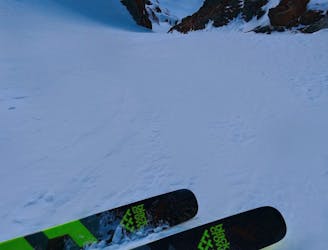
An incredible journey to remember - and the scene of many rescues. A very wild and more direct line than the Chirouze through a series of exposed couloirs. These couloirs often end in waterfalls and cliffs requiring rappels or traverses out. A genuinely incredible setting for an adventure on skis. A number of rappels are usually equipped but take some slings. Skiing the route on-sight is very committing. Crampons and axe could be useful.
Severe
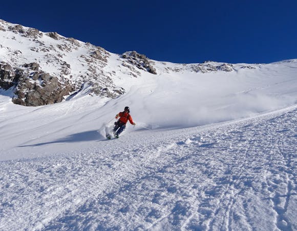
Steep skiing at 38-45 degrees. This requires very good technique and the risk of falling has serious consequences.

In case of a fall, the skier faces certain death.
In the high mountains or remote conditions, all individuals must be completely autonomous in every situation.
291 m away
The La Grave mega-classic
Difficult Freeride Skiing
302 m away
A La Grave mega-classic with 1800m of steep North facing skiing back to La Grave
Difficult Freeride Skiing
314 m away
Easy to access, steep couloir skiing. A La Grave classic.
Severe Freeride Skiing
508 m away

A direct variation on the La Grave classic
Difficult Freeride Skiing
629 m away

Classic La Grave couloir skiing
Severe Freeride Skiing
686 m away

A steeper, more serious variant of the Trifides couloirs
Extreme Freeride Skiing
733 m away

A variation on the classic Grand Couloir
Severe Freeride Skiing
774 m away

Another steeper, more serious variant of the Trifides couloirs
Extreme Freeride Skiing
1 km away

One of the best known La Grave Couloirs - a classic
Severe Freeride Skiing
1.5 km away

Serious, steep skiing in an incredible environment
Extreme Freeride Skiing

10 routes · Freeride Skiing
5 routes · Freeride Skiing

50 routes · Freeride Skiing · Ski Touring

15 routes · Freeride Skiing · Ski Touring