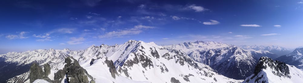
Dent du Pra south face
Grenoble
A great tour with lots of variety for the descent
Ski Touring Difficult
- Distance
- 16 km
- Ascent
- 1.6 km
- Descent
- 1.6 km
- Duration
- 1 day +
- Low Point
- 1.2 km
- High Point
- 2.6 km
- Gradient
- 26˚

This is a popular ski touring route which is generally considered to be difficult. It's not remote, it features low exposure (e1) and is typically done between January and April. From a low point of 1.2 km to the maximum altitude of 2.6 km, the route covers 16 km, 1564 vertical metres of ascent and 1567 vertical metres of descent. It's graded 2.3 and Labande grade 3. You'll need skins to complete it safely.
Description
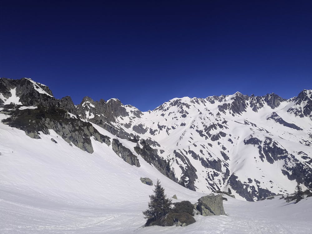
A tour starting by the ascent of Pas de la Coche to enter the Eau d'Olle valley before going north toward the Dent du Pra. The view on the Grandes Rousses mountains is great all the way up to the summit. Very nice descent with faces, little couloirs and forest for the end
Difficulty
Difficult
Serious gradient of 30-38 degrees where a real risk of slipping exists.
Low Exposure (E1)

Exposure is limited to that of the slope itself. Getting hurt is still likely if the slope is steep and/or the snow is hard.
Remoteness
Close to help in case of emergency.
Best time to visit
Features
- Couloir
- Tree Skiing
- Single Descent
Equipment required
- Skins