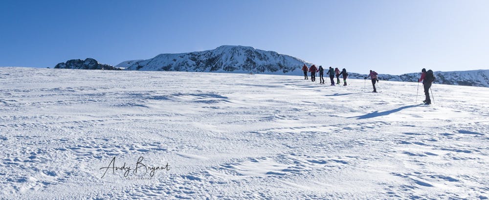
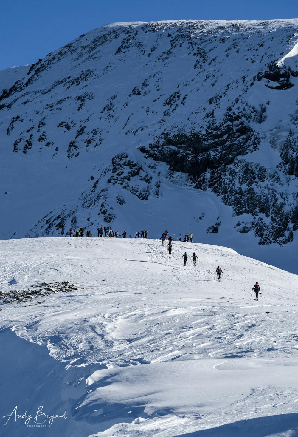
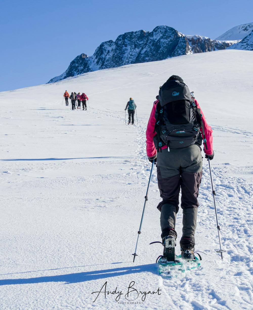
Taillefer - Lac de la Courbe Snowshoe
Grenoble
Summit at 2434m, 900m climb, 10km hike
Snow Shoeing Moderate
- Distance
- 9.5 km
- Ascent
- 905 m
- Descent
- 904 m
- Duration
- 4-5 hrs
- Low Point
- 1.5 km
- High Point
- 2.4 km
- Gradient
- 25˚

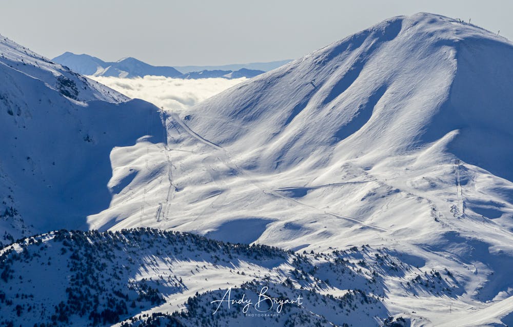
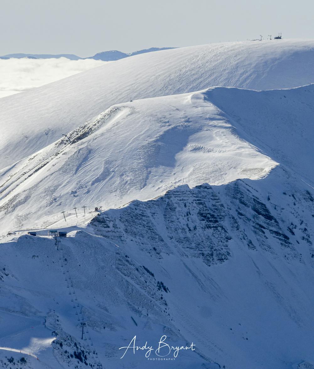
This is a popular snow shoeing route which is generally considered to be moderate. It's not remote, it features low exposure (e1) and is typically done between January and March. From a low point of 1.5 km to the maximum altitude of 2.4 km, the route covers 9.5 km, 905 vertical metres of ascent and 904 vertical metres of descent.
- •
- •
- •
- •
- •
- •
- •
- •
- •
- •
- •
- •
Description
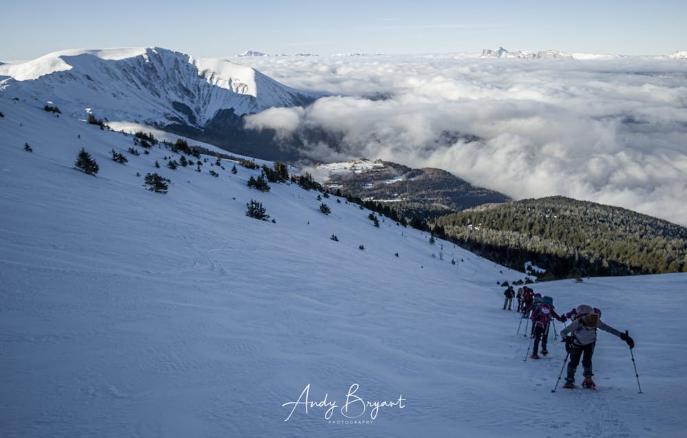
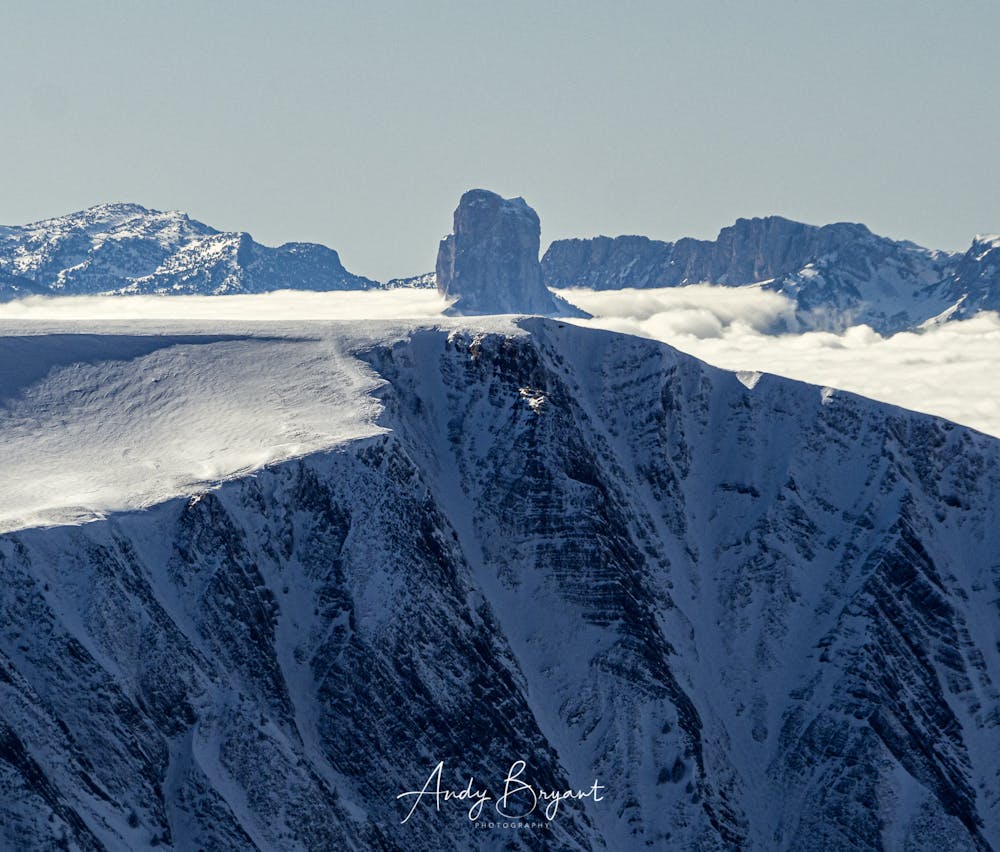
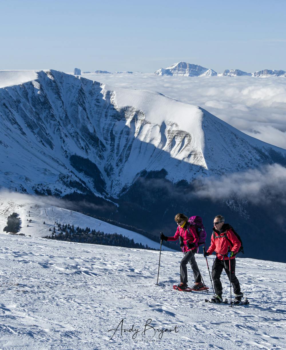
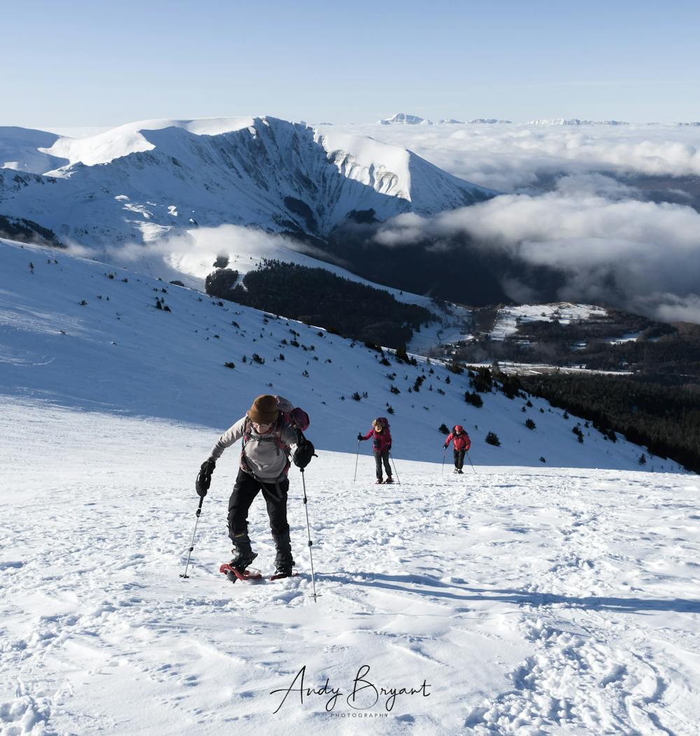
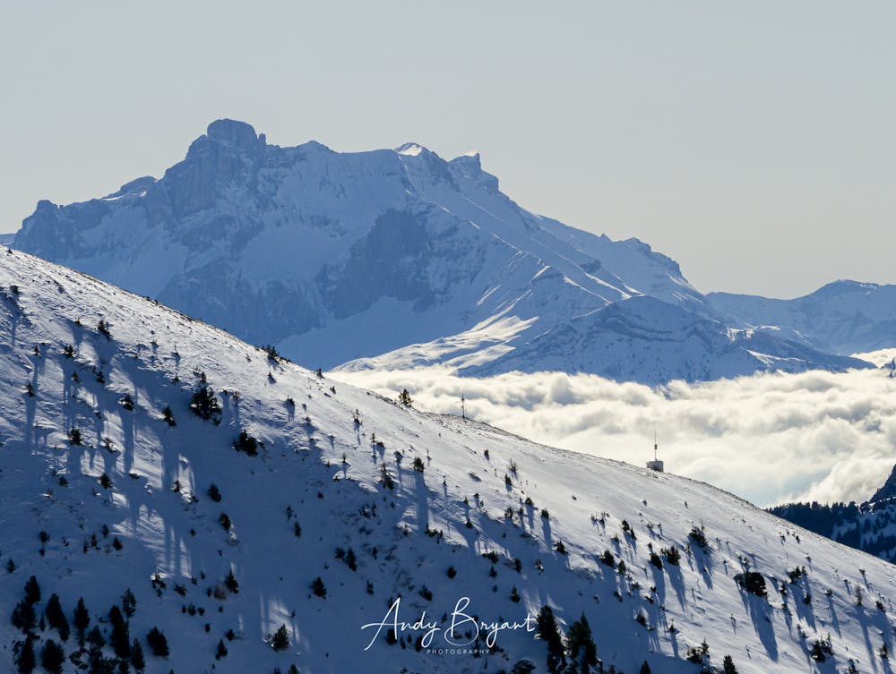
Awesome views over the clouds as you come out of the forest.
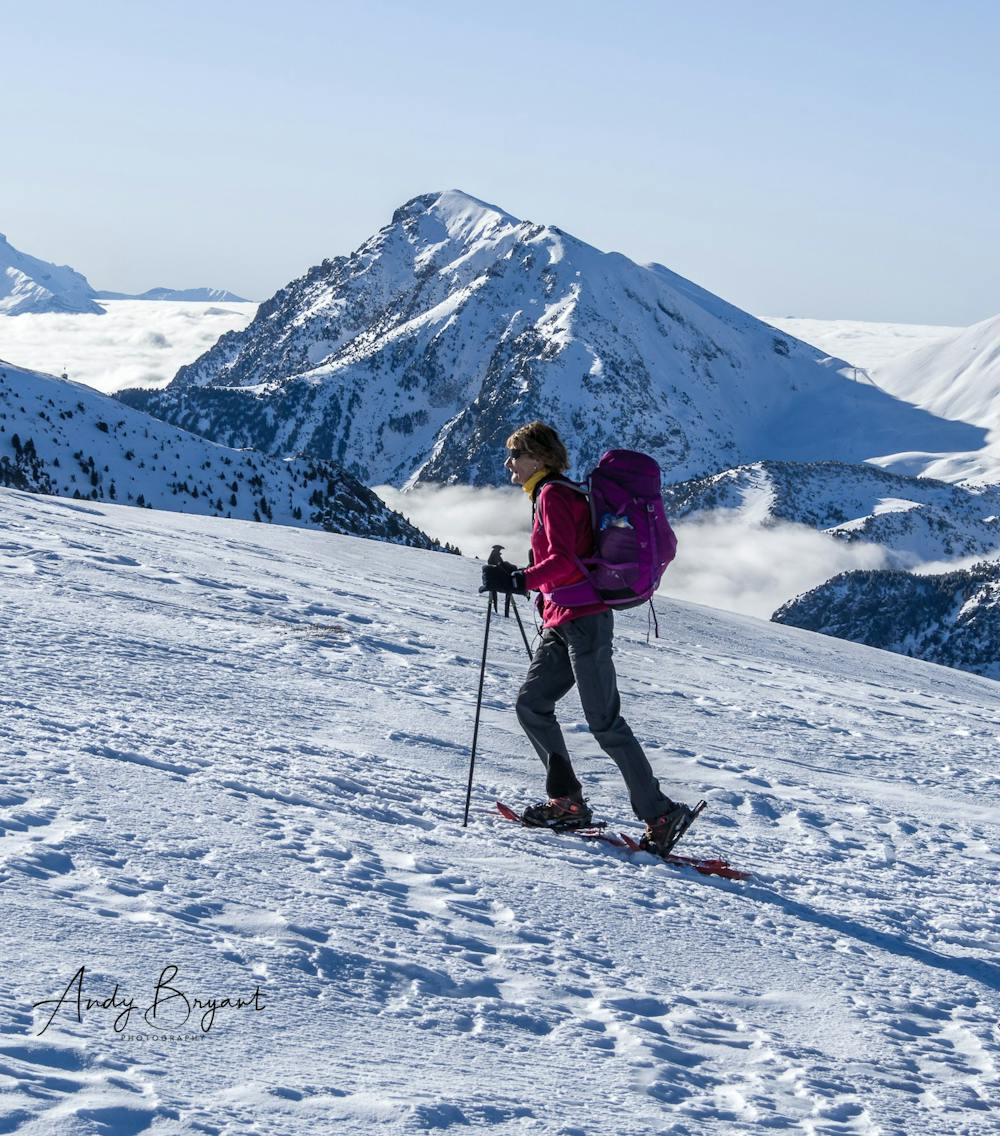
Punishing but not difficult steep climb as soon as you come out of the forest. Not really much fun on the way down unless you've got solid or fresh snow - otherwise it's a bit difficult to retain traction
Difficulty
Moderate
Low Exposure (E1)

Exposure is limited to that of the slope itself. Getting hurt is still likely if the slope is steep and/or the snow is hard.
Remoteness
Close to help in case of emergency.