Haize 2.10 Lakora
Belles course entre gorges et sommet
Hiking Severe
- Distance
- 21 km
- Ascent
- 1.4 km
- Descent
- 1.4 km
- Duration
- 6-7 hrs
- Low Point
- 602 m
- High Point
- 1.8 km
- Gradient
- 14˚

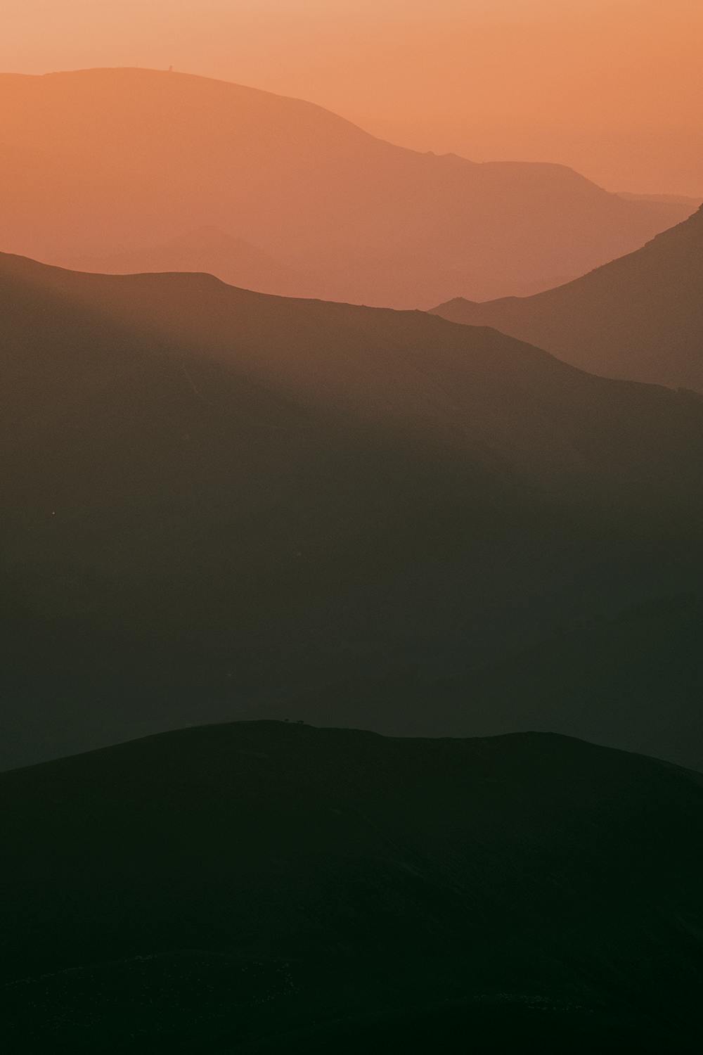
That’s my best discovery of the second book. You start hiking in a canyon you’ll never imagine it could be here in the Basque Country, with several falls and deep forest, it’s very calm and peaceful, then you reach a large grassy plateau and you take the path for summit hike to Lakora. I had one of my best bivouac here, with a crazy sunset and sunrise on Basque Country fields and Pyrenean chain. One more time it is has every hike in Basque Country very diversify, you start with a large forest path, after a grassy plateau and then you finish by a thin aerial path cruising between peaks to reach Lakora and it’s a sportive hike cause it’s 20 km and 1700 m+ !
Description
Eclipsée par sa sœur la gorge de Kakouéta, la gorge d’Ehujarré, beaucoup plus paisible est elle aussi une magnifique curiosité géologique. Au départ de Sainte-Engrâce le chemin traverse en premier une grande partie de forêt. On croise à plusieurs reprises le cours d’eau qui s’efface parfois au profit de cavités souterraines et ressort par résurgence à différents endroits.
à retrouver dans Haize vol.2 www.haize.fr
Difficulty
Severe
Hiking challenging trails where simple scrambling, with the occasional use of the hands, is a distinct possibility. The trails are often filled with all manner of obstacles both small and large, and the hills are very steep. Obstacles and challenges are often unexpected and can be unpredictable.
High Exposure

Some trail sections have exposed ledges or steep ascents/descents where falling could cause serious injury.
Remoteness

Away from help but easily accessed.
Best time to visit
Features
- Alpine
- Wildlife
- Picturesque
- Summit Hike
- Wild flowers
- Water features
- Forestry or heavy vegetation