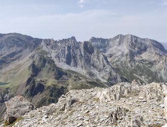
Tour du Capéran de Ger
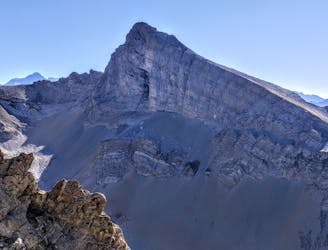
Itinéraire qui emprunte le vallon du Ger avec ascension du Pambassibé et du Ger
Moderate Hiking
- Distance
- 19 km
- Ascent
- 1.6 km
- Descent
- 1.8 km
Go hiking in Pyrénées-Atlantiques with curated guides of the best hikes across the region. With over 51 3D trail maps in FATMAP, you can easily discover and navigate the best trails in Pyrénées-Atlantiques.
No matter what your next adventure has in store, you can find a guide on FATMAP to help you plan your next epic trip.
Get a top hiking trail recommendation in Pyrénées-Atlantiques, or get inspired by the 51 local adventures uploaded by the FATMAP community. Start exploring now!
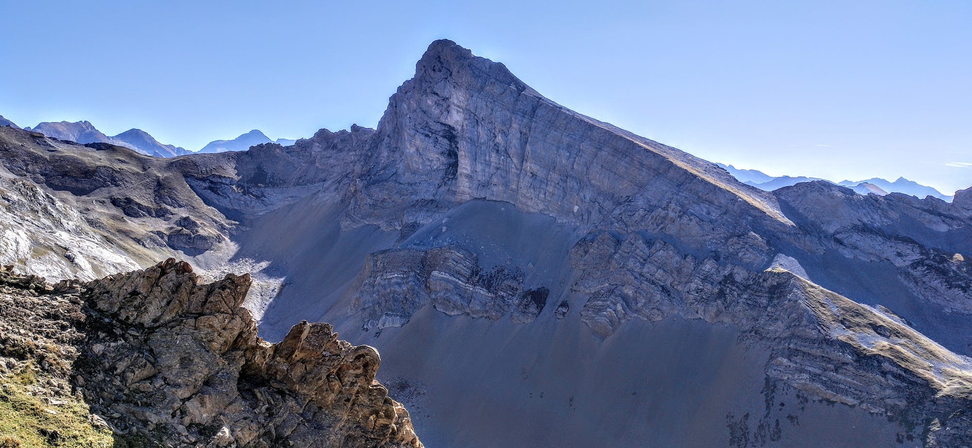
Itinéraire qui emprunte le vallon du Ger avec ascension du Pambassibé et du Ger
Moderate Hiking
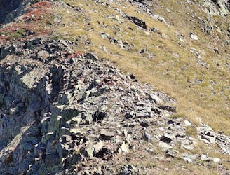
1km300 de crêtes faciles avec 3 passages aériens
Moderate Hiking
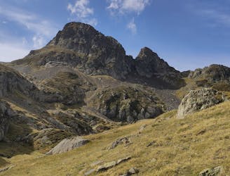
Boucle avec ascension du Sanctus et des Bécottes
Moderate Hiking
VN pour gravir l'antécime et le pic
Moderate Hiking

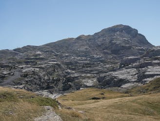
A hike up two peaks, both 1973m.
Difficult Hiking

A perfect way to complement the Artouste train experience
Moderate Hiking
Amazing circular route: great experience and views guaranteed
Difficult Hiking
Limestone ocean and a void experience
Moderate Hiking