4 km away
Combe de La Vélière

A magnificent wild open valley with a tricky exit, ending in an isolated village
Difficult Freeride Skiing
- Distance
- 4.9 km
- Ascent
- 5 m
- Descent
- 1.2 km
The most obvious of the Grande Rochette Couloirs
Freeride Skiing Difficult

This is a popular freeride skiing route which is generally considered to be difficult. It's not remote, it features medium exposure (e2) and is typically done between January and April. From a low point of 2.3 km to the maximum altitude of 2.5 km, the route covers 299 m, 0 vertical metres of ascent and 205 vertical metres of descent. It's graded 3.2 and Labande grade 4.
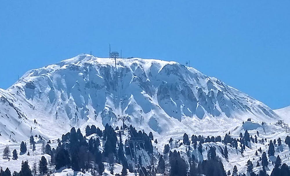
One of the easiest routes to access by lift from La Plagne Centre
Difficult
Serious gradient of 30-38 degrees where a real risk of slipping exists.

As well as the slope itself, there are some obstacles (such as rock outcrops) which could aggravate injury.

Close to help in case of emergency.
4 km away
A magnificent wild open valley with a tricky exit, ending in an isolated village
Difficult Freeride Skiing
4.1 km away

A fairly short, but enjoyable series of bowls and funnels leading through the steep ground on the east face of the Roche de Mio
Difficult Freeride Skiing
5.7 km away

An equally fine companion route to the Couloir de Pramain
Difficult Freeride Skiing
6.6 km away

A beautiful, varied line down wild open slopes
Difficult Freeride Skiing
6.6 km away

A classic route down the north face, one of the less risky routes
Moderate Freeride Skiing
6.6 km away

The easiest of the classics on the true north face.
Severe Freeride Skiing
7.2 km away

Fantastic but serious big mountain line on a majestic, wild north face
Severe Freeride Skiing
6 routes · Freeride Skiing

15 routes · Freeride Skiing · Ski Touring