1.3 km away
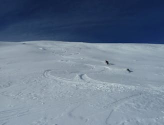
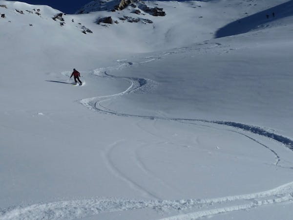
Le Spot

An absolute Mottaret classic!
Severe Freeride Skiing
- Distance
- 1.2 km
- Ascent
- 3 m
- Descent
- 422 m
With only a 5 minute walk you get a steep, challenging and little skied pitch.
Freeride Skiing Severe

At the top of the Tougnete 2 Chairlift and immediately head left along and up the ridge past the pisteurs hut. It's barely 5 minutes along the obvious ridge towards the Roc de Tougne, from where you can access the face heading towards the Roc de Tougne double drag lift, way off in the distance. There are many variations of this route, simply by going further along the ridge and dropping into the bowl below. Worth doing your homework from a distance as the odd couloir ends in a cliff band. The first access point along the ridge is a good one. Traverse left and down the face and then head to your right on a steep rocky traverse. This will take you to a large and wide open face. Dont get too greedy at the bottom and lose too much height otherwise you will have a snowy walk out! Head to the Roc de Tougne double drag lift for the next challenge...
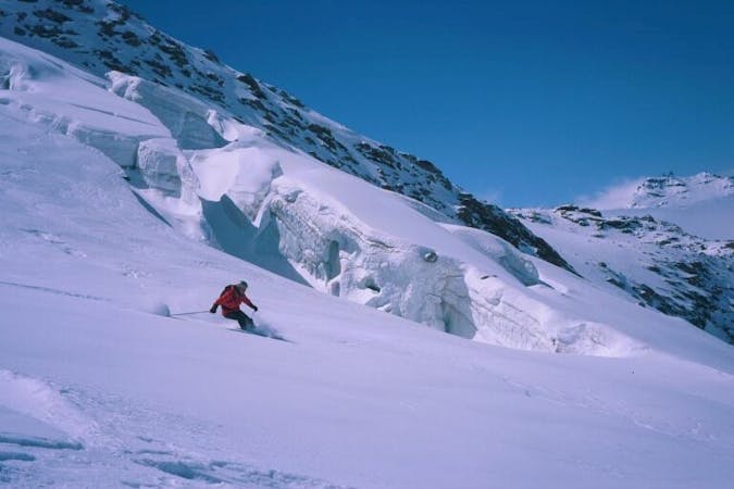
Severe
Steep skiing at 38-45 degrees. This requires very good technique and the risk of falling has serious consequences.

As well as the slope itself, there are some obstacles (such as rock outcrops) which could aggravate injury.
Away from help but easily accessed.
1.3 km away
An absolute Mottaret classic!
Severe Freeride Skiing
3 km away

An engaging and challenging little gem, rarely skied out and easy to access.
Severe Freeride Skiing
3.6 km away
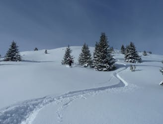
Mellow meadow skiing with an occasionally cheeky middle or exit...
Moderate Freeride Skiing
3.6 km away

Often loaded with snow up there and not skied that much
Severe Freeride Skiing
3.6 km away

A real Meribel classic, with a bit of bushwhacking here and there!
Difficult Freeride Skiing
3.6 km away
A great, mellow run through gentle rolling terrain far from the lifts.
Easy Freeride Skiing
3.6 km away
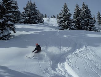
Fun tree-skiing down to Le Raffort
Moderate Freeride Skiing
3.8 km away

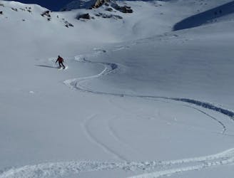
An easily accessible and very demanding couloir with a huge snowfield to follow
Severe Freeride Skiing
4.3 km away

An absolute Courchevel classic. Steep and wide faces with a visible end point to settle the nerves.
Difficult Freeride Skiing
4.3 km away
A surprisingly long descent on the edge of the Tuéda nature reserve.
Moderate Freeride Skiing
12 routes · Freeride Skiing
12 routes · Freeride Skiing · Ski Touring
12 routes · Freeride Skiing