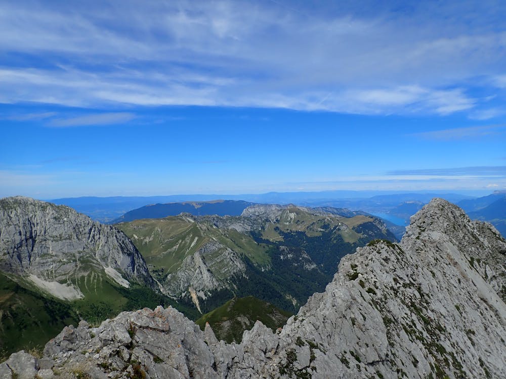
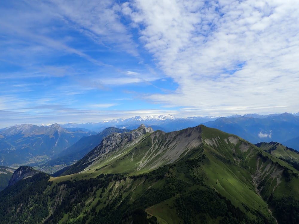
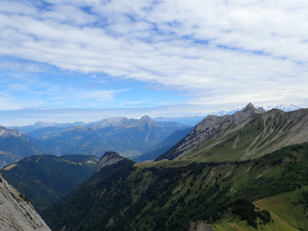
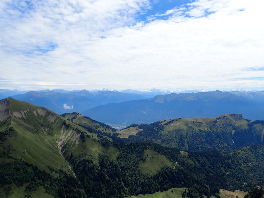
Arcalod
Bauget Alps
Chambéry
Ascension de l'Arcalod par les chalets et col d'Orgeval
Hiking Severe
- Distance
- 13 km
- Ascent
- 1.2 km
- Descent
- 1.2 km
- Duration
- 4-5 hrs
- Low Point
- 1 km
- High Point
- 2.2 km
- Gradient
- 26˚

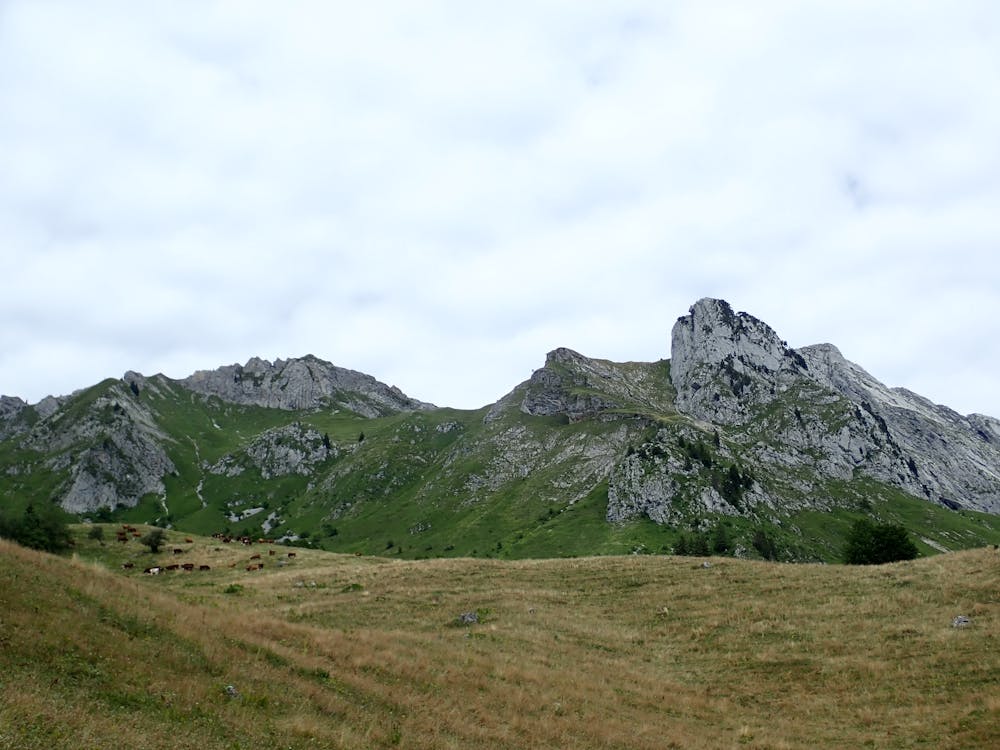
This is a popular hiking route which is generally considered to be severe. It's very remote, it features high exposure and is typically done between May and October. From a low point of 1 km to the maximum altitude of 2.2 km, the route covers 13 km, 1194 vertical metres of ascent and 1196 vertical metres of descent.
- •
- •
- •
- •
- •
- •
Description
Ascension de l'Arcalod par les chalets et col d'Orgeval . Balisage rond et flèches jaune après le col d'Orgeval
Difficulty
Severe
Hiking challenging trails where simple scrambling, with the occasional use of the hands, is a distinct possibility. The trails are often filled with all manner of obstacles both small and large, and the hills are very steep. Obstacles and challenges are often unexpected and can be unpredictable.
High Exposure

Some trail sections have exposed ledges or steep ascents/descents where falling could cause serious injury.
Remoteness
Little chance of being seen or helped in case of an accident.
Best time to visit
Features
- Alpine
- Picturesque
- Summit Hike
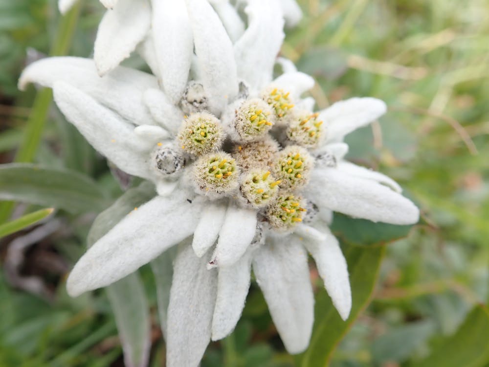
- Wild flowers