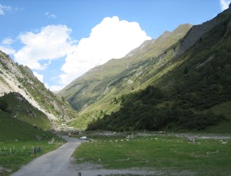
This route begins at the Refuge du Plan de la Lai, between Beaufort and Bourg Saint-Maurice, in the Beaufortain. Along the way, it passes the Refuge de la Croix du Bonhomme, Tour du Beaufourtain, and the Col des Fours, before finally going down to the Vallée des Glaciers. The route offers a small deviation to the summit of Roche du Vent, which can be omitted if required.
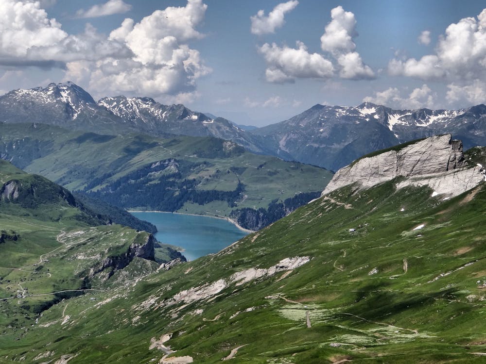
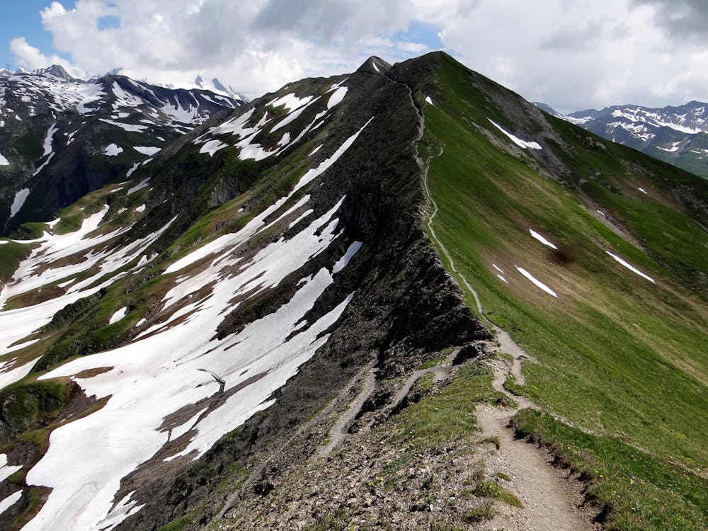
The route is pretty straightforward. However, instead of going directly to the Crête des Gittes at the back of the Plan de la Lai, make a detour to the Rocher du Vent. There is a great view of the Lac de Roselend and Lac de la Gittaz from there. This detour can be omitted.
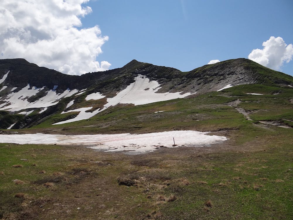
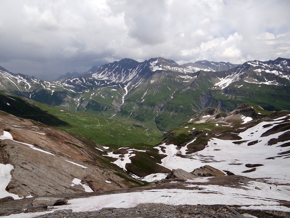
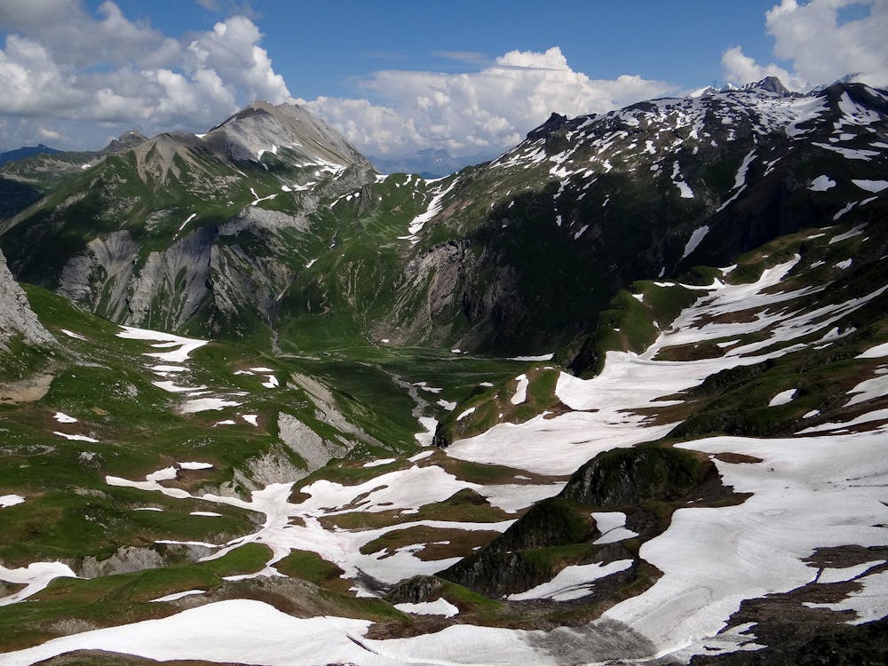
You can expect mostly rocky singletrack that gets rougher and more barren the higher the trail climbs. At times the effort required to step up/over rocky parts is moderate to hard (no scrambling required), but these sections are dispersed along the route so you can catch your breath and recover. The trail is narrow along the ridgeline, with small boulders to step over. Close to the end of the route, there are some looser, shaley sections over steep terrain.
Keep an eye out for the ibex and an ear out for marmots, which can be found in the area. The Mont Blanc is easily visible along this route, and is hard to miss!
This is a one-way route and will require planning to return at the start point. Shuttle services are available throughout the area during the peak summer period.