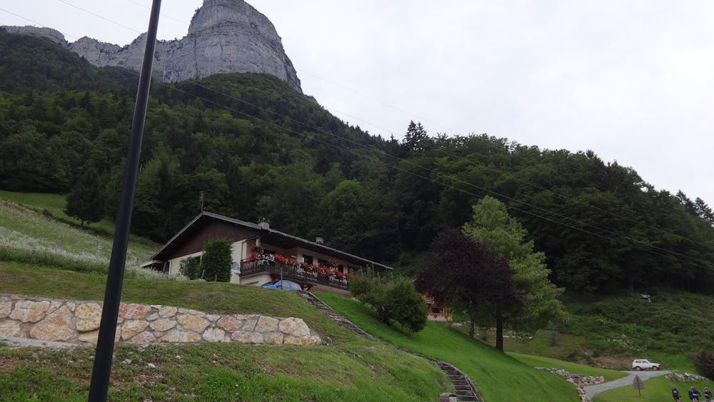
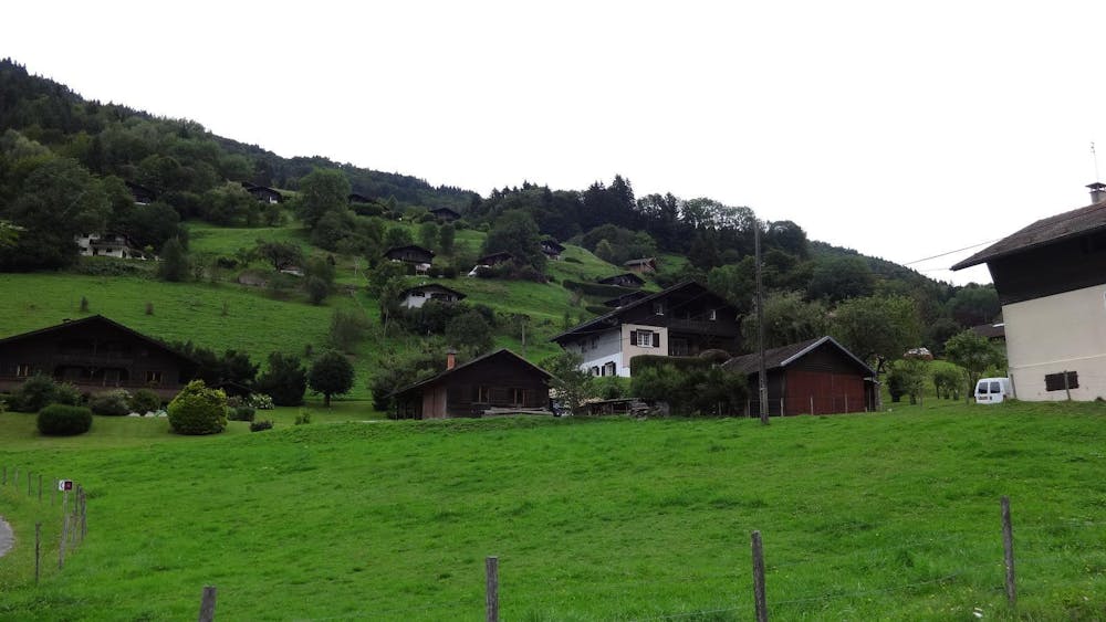
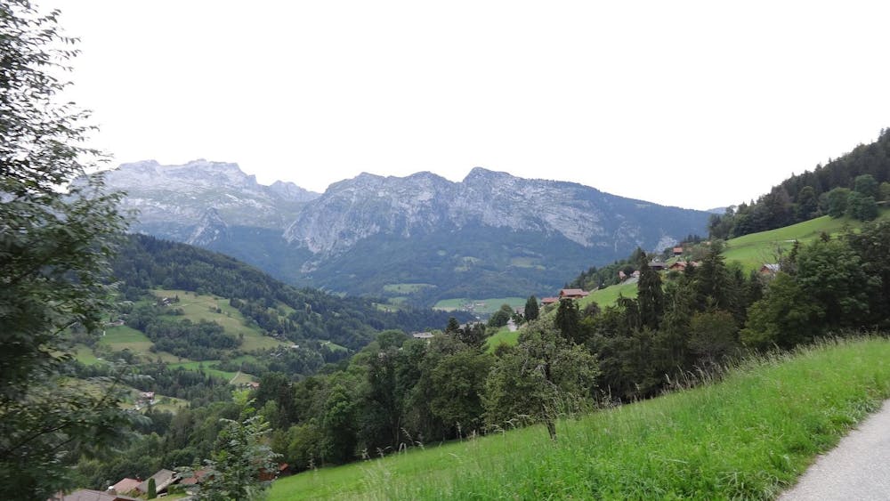
Tour de Mont Blanc Annecy flumet
Annecy
La Clusaz & Le Grand Bornand
Megève Evasion Mont Blanc
Megeve - Les Contamines
Albertville
Bauget Alps
Also in Haute-Savoie, France
Mountain Biking Difficult
- Distance
- 76 km
- Ascent
- 2.5 km
- Descent
- 1.9 km
- Duration
- 7-8 hrs
- Low Point
- 445 m
- High Point
- 1.7 km
- Gradient
- 7˚

This is a popular mountain biking route which is generally considered to be difficult. It's an unknown remoteness, it features unknown exposure and is typically done in an unknown time of year. From a low point of 445 m to the maximum altitude of 1.7 km, the route covers 76 km, 2544 vertical metres of ascent and 1884 vertical metres of descent.
- •
- •
- •
Description
Difficulty
Difficult
Mostly stable trail tread with some variability featuring larger and more unavoidable obstacles that may include, but not be limited to: bigger stones, roots, steps, and narrow curves. Compared to lower intermediate, technical difficulty is more advanced and grades of slopes are steeper. Ideal for upper intermediate riders.