Piste de randonnée de Solaise
Espace Killy
Tignes and Val d'Isère
Vanoise Massif
Rise above the station to better admire it! An itinerary accessible to all and a possible descent to the heart of the village.
Resort Ski Touring Difficult
- Distance
- 2.1 km
- Ascent
- 445 m
- Descent
- 1 m
- Duration
- 1-2 hrs
- Low Point
- 1.8 km
- High Point
- 2.3 km
- Gradient
- 27˚
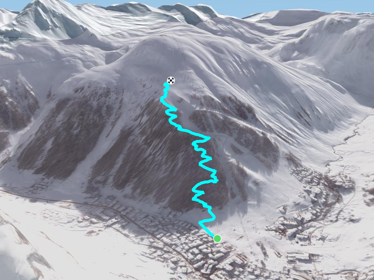
Ascent into the Solaise forest on regular crossings with some conversions and an accessible slope. Then, the exit is at the level of the map, which runs along the downhill ski slope that goes down to the resort.<br/><br/>For more information: <a href="https://skitouring.decathlon.fr" target="blank">skitouring.decathlon.fr</a>
Difficulty
Difficult