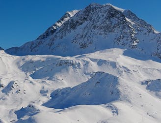
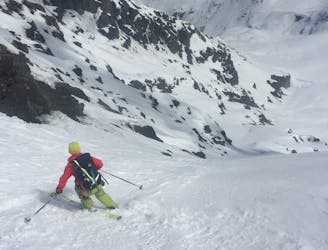
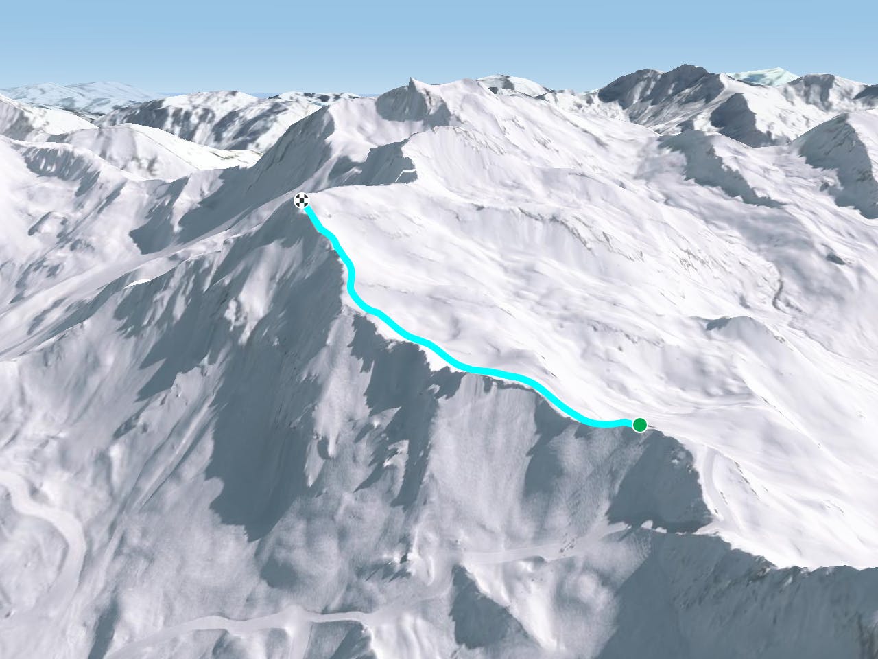
FATMAP by Strava

Ascent of the Foglietta

Sainte Foy

Tarentaise

The trip to the top of Sainte Foy's king

Ski Touring Moderate

Distance
1.2 km
Ascent
325 m
Descent
32 m
Duration
1-2 hrs
Low Point
2.6 km
High Point
2.9 km
Gradient
33˚
Ascent of the Foglietta Map

From the top of the Aiguille chair, hike or skin 45 minutes up the ridge to your left to the highest point of the Foglietta. There aren't any technical sections so it's a straight up bootpack!

Description

Make sure you stay away from any cornices on the left, and be aware of the avalanche conditions on the slope to your right. The view from the top (and the ski routes down) make the bootpack more than worth the effort!

Difficulty

Moderate

Slopes become slightly steeper at around 25-30 degrees.

Medium Exposure (E2)

2 out of 4

As well as the slope itself, there are some obstacles (such as rock outcrops) which could aggravate injury.

Remoteness

3 out of 4

Little chance of being seen or helped in case of an accident.

Best time to visit

between January and April

Features

  • Alpine
  • Single Descent

Equipment required

  • Skins
  • Ice axe
  • Crampons

Similar routes nearby

Guidebooks in this area