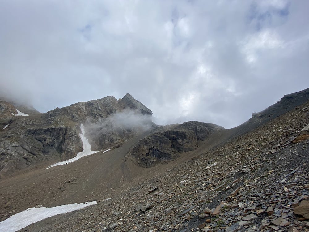
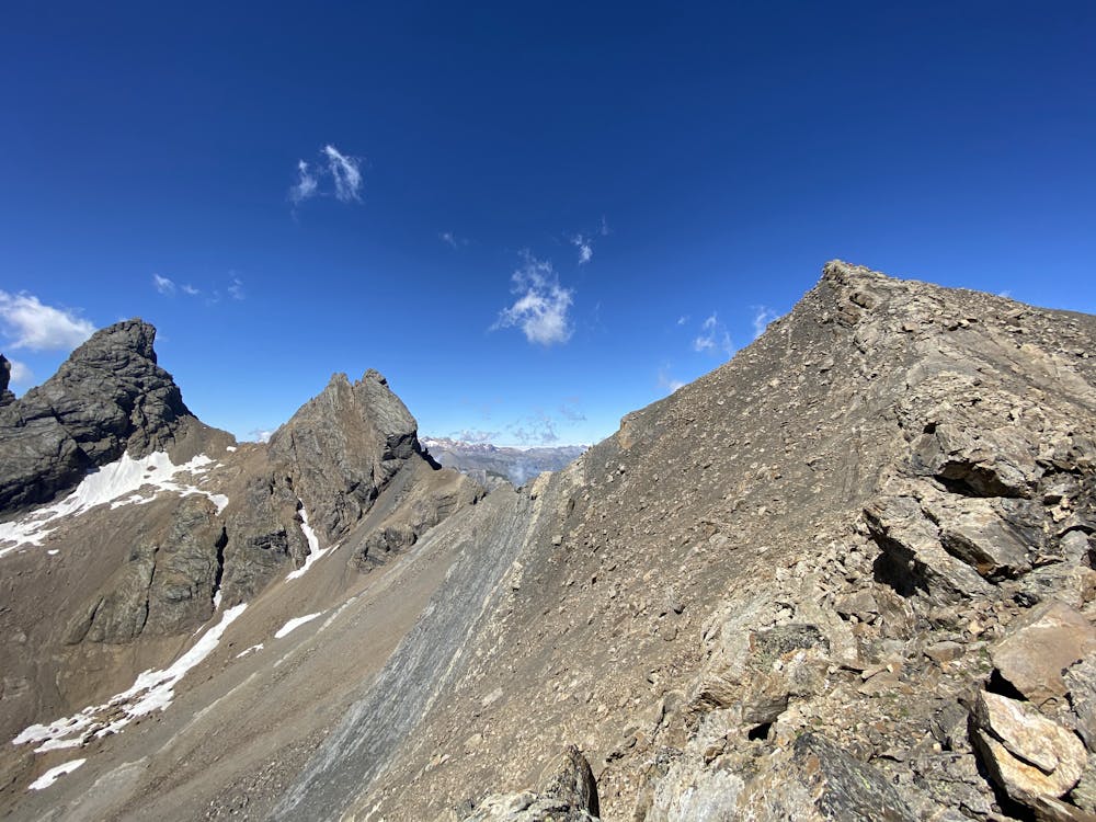
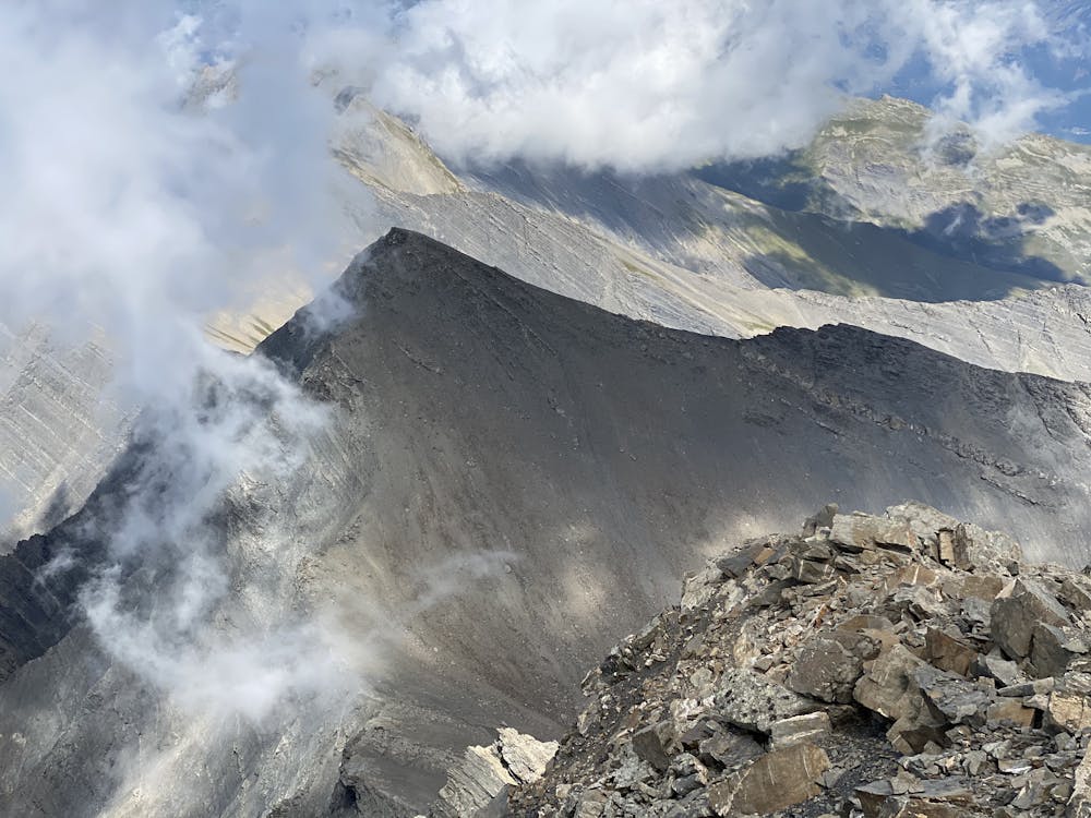
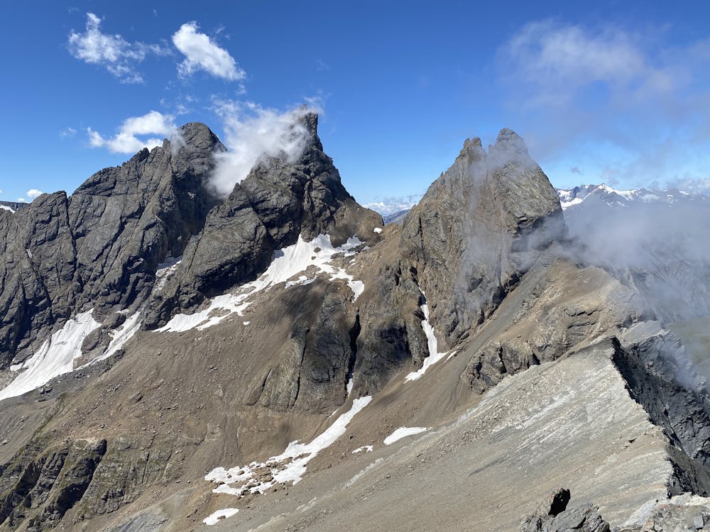
Col de Petit jean 3065 m pentes S - Aiguille de l'Épaisseur 3230 m versant SE
Saint-Jean-de-Maurienne
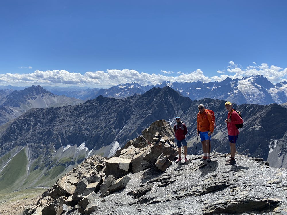
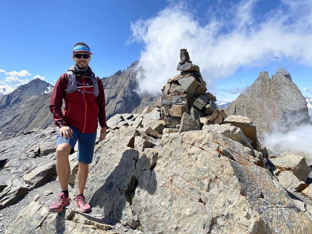
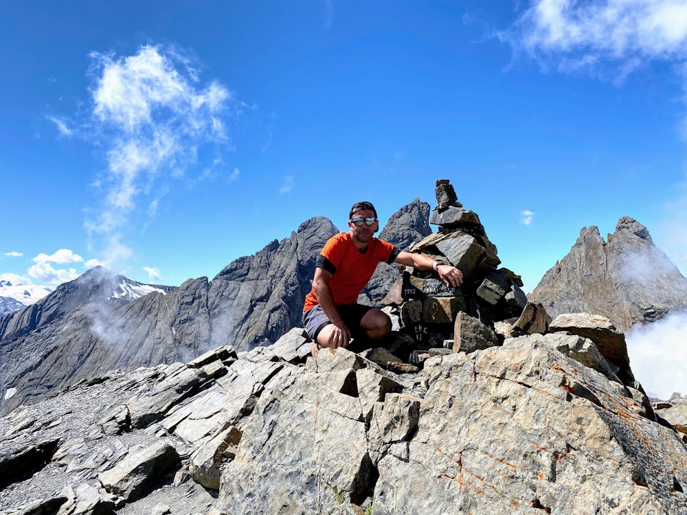
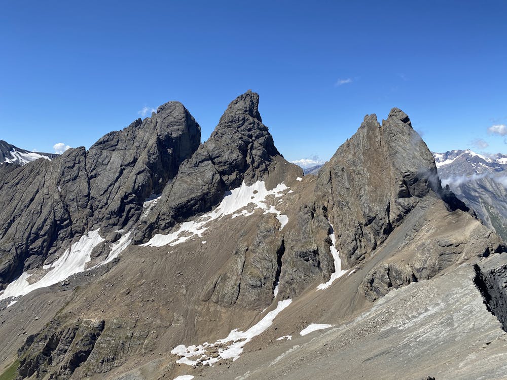
Deux jolis belvédères à plus de 3000m sur les Aiguilles d'Arves
Trail Running Difficult
- Distance
- 23 km
- Ascent
- 2.5 km
- Descent
- 2.5 km
- Duration
- 5-6 hrs
- Low Point
- 1.7 km
- High Point
- 3.2 km
- Gradient
- 21˚

This is a popular trail running route which is generally considered to be difficult. It's remote, it features medium exposure and is typically done between July and September. From a low point of 1.7 km to the maximum altitude of 3.2 km, the route covers 23 km, 2484 vertical metres of ascent and 2483 vertical metres of descent.

- •
- •
- •
- •
- •
- •
- •
- •
- •
- •
- •
Description
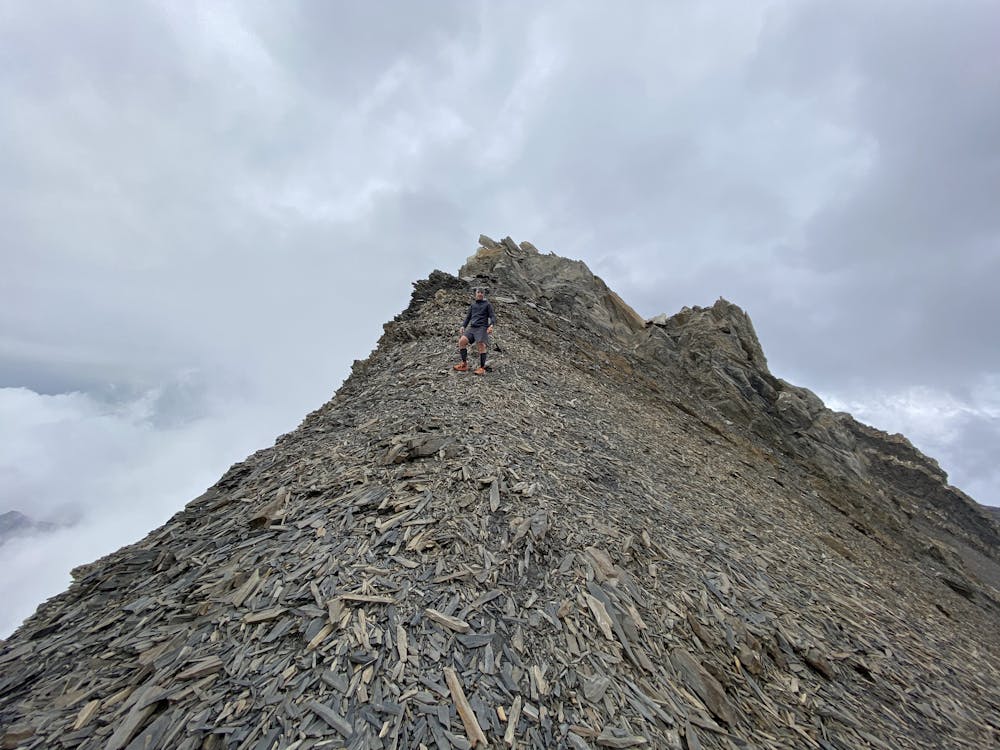
Petit défi sportif en grimpant jusqu'au Col de Petit Jean situé juste au Nord des Aiguilles d'Arves. Suivi d'une longue et physique montée sur le sommet de l'Aiguille de l'Épaisseur.
Difficulty
Difficult
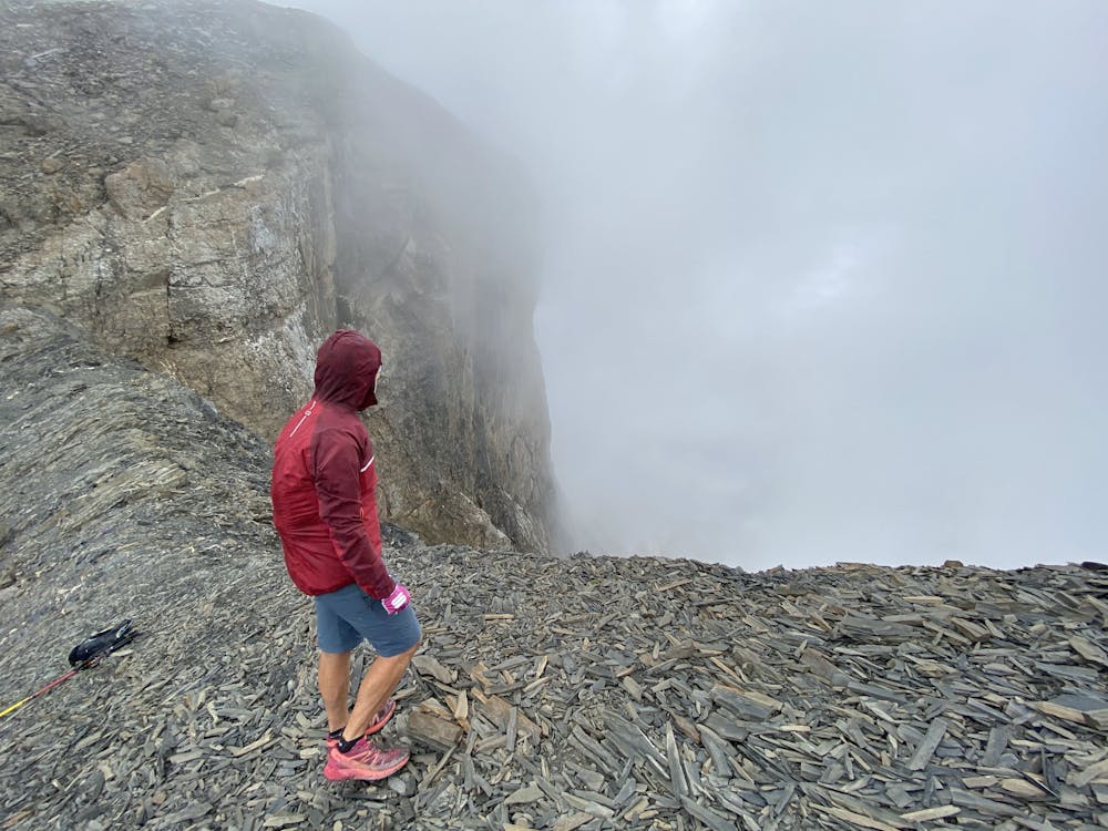
Medium Exposure

The trail contains some obstacles such as outcroppings and rock which could cause injury.
Remoteness
Away from help but easily accessed.