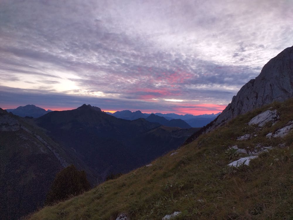
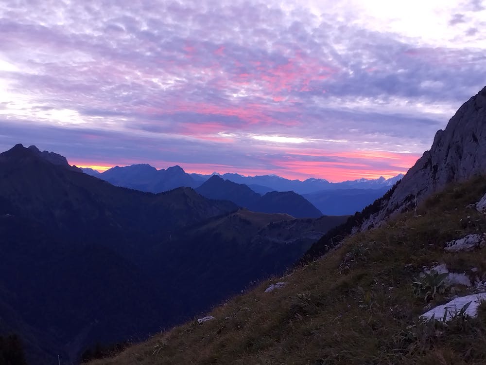
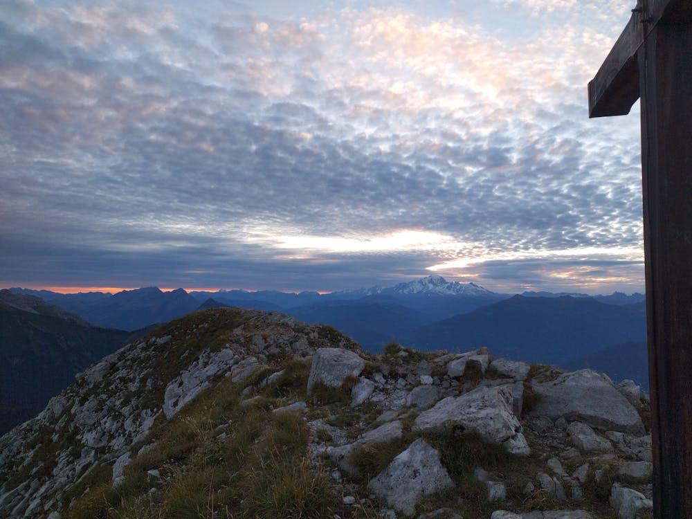
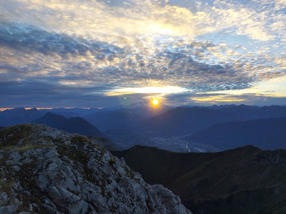
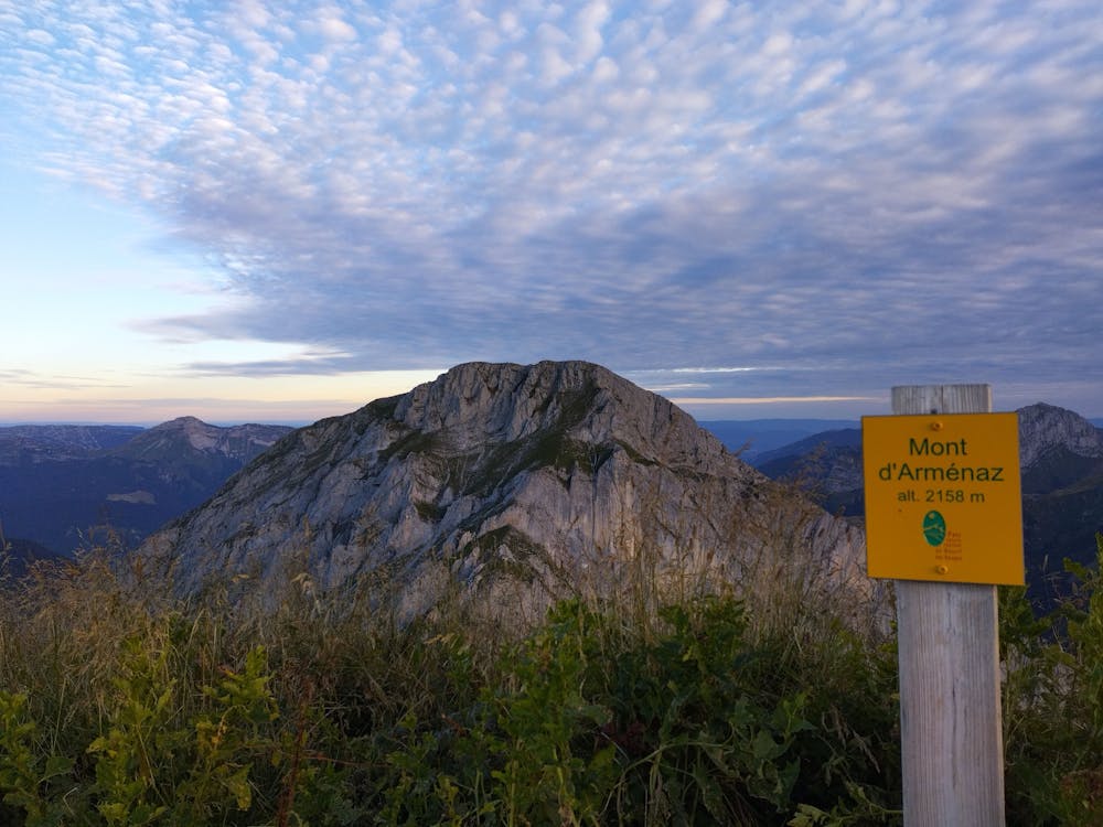
Le Pécloz et Mont d'Armenaz
Bauget Alps
Chambéry
Ascension du Pécloz puis du Mont d'Armenaz
Trail Running Difficult
- Distance
- 14 km
- Ascent
- 1.5 km
- Descent
- 1.5 km
- Duration
- 3-4 hrs
- Low Point
- 870 m
- High Point
- 2.2 km
- Gradient
- 28˚

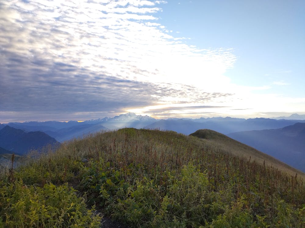
This is a popular trail running route which is generally considered to be difficult. It's remote, it features high exposure and is typically done between May and October. From a low point of 870 m to the maximum altitude of 2.2 km, the route covers 14 km, 1526 vertical metres of ascent and 1523 vertical metres of descent.
- •
- •
- •
- •
- •
- •
- •
Description
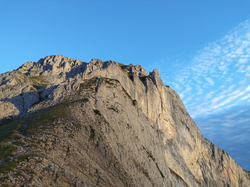
Très bel ascension du Mont Pécloz par son arrête ouest et descente par l'arrête sud du Mont d'Armenaz
Difficulty
Difficult
High Exposure

Some trail sections have exposed ledges or steep ascents/descents where falling could cause serious injury.
Remoteness

Away from help but easily accessed.