Tignes - Col du Palet - Col de la Tourne - Tignes
Espace Killy
Tignes and Val d'Isère
Vanoise Massif
Epic loop from Tignes - Col's, lakes and more!
Trail Running Moderate
- Distance
- 14 km
- Ascent
- 877 m
- Descent
- 887 m
- Duration
- 2-3 hrs
- Low Point
- 2.1 km
- High Point
- 2.7 km
- Gradient
- 12˚

This is a popular trail running route which is generally considered to be moderate. It's remote, it features low exposure and is typically done between July and October. From a low point of 2.1 km to the maximum altitude of 2.7 km, the route covers 14 km, 877 vertical metres of ascent and 887 vertical metres of descent.
- •
- •
- •
- •
- •
- •
Description
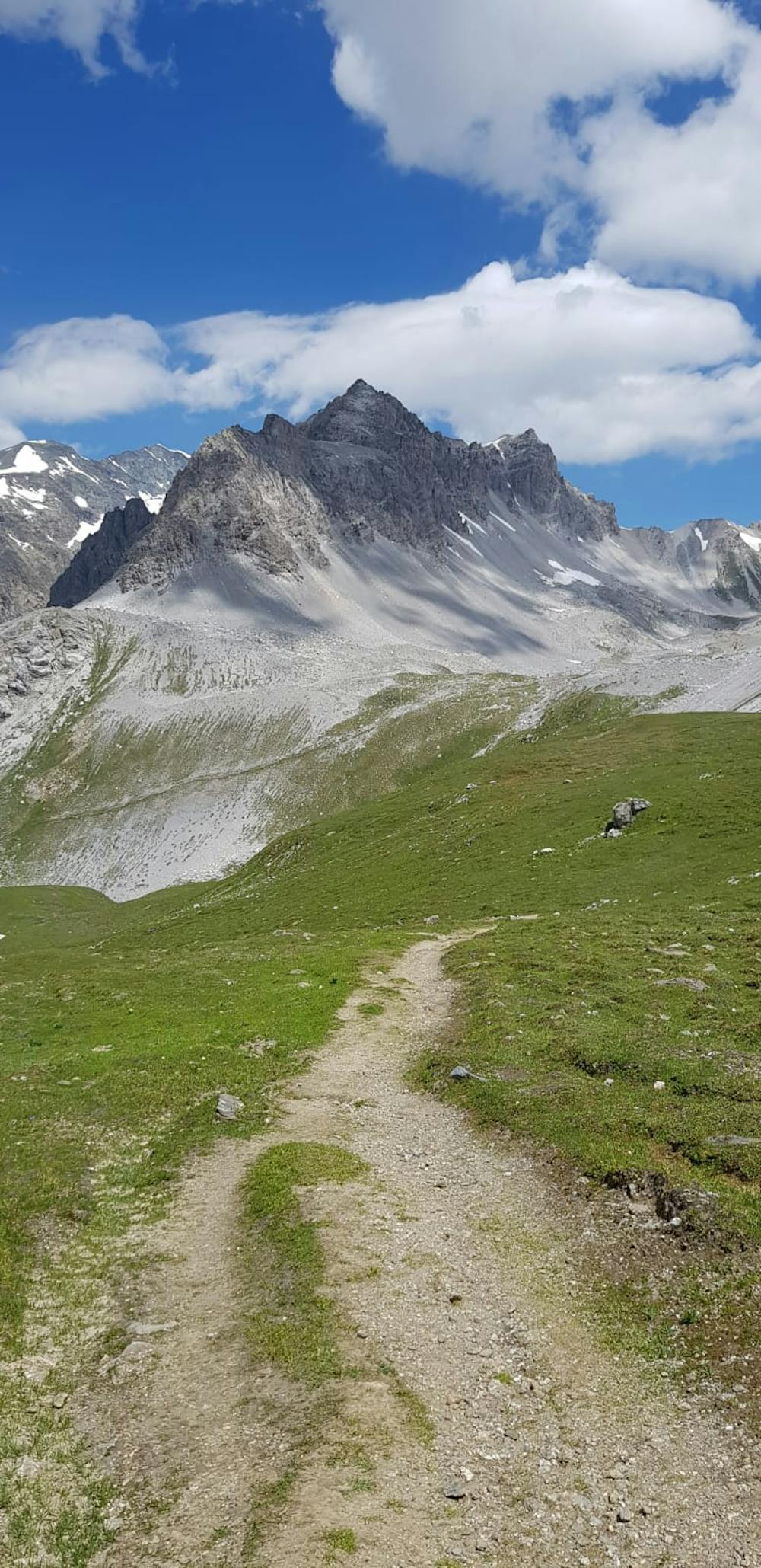
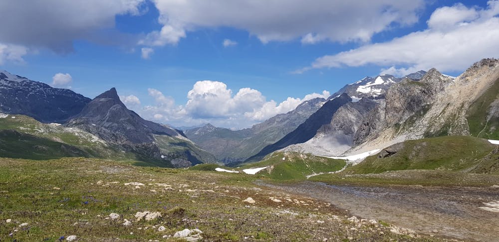
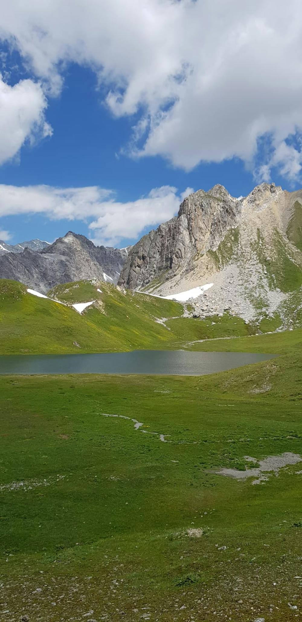
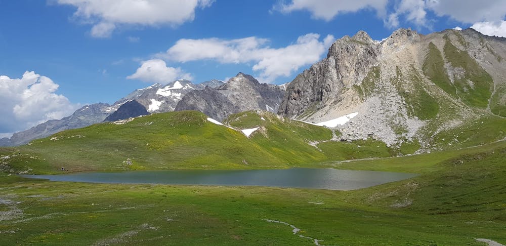
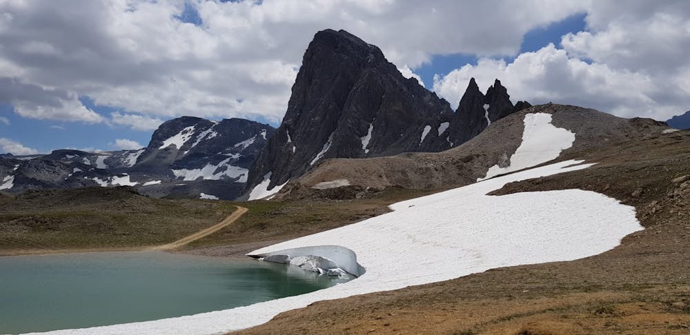
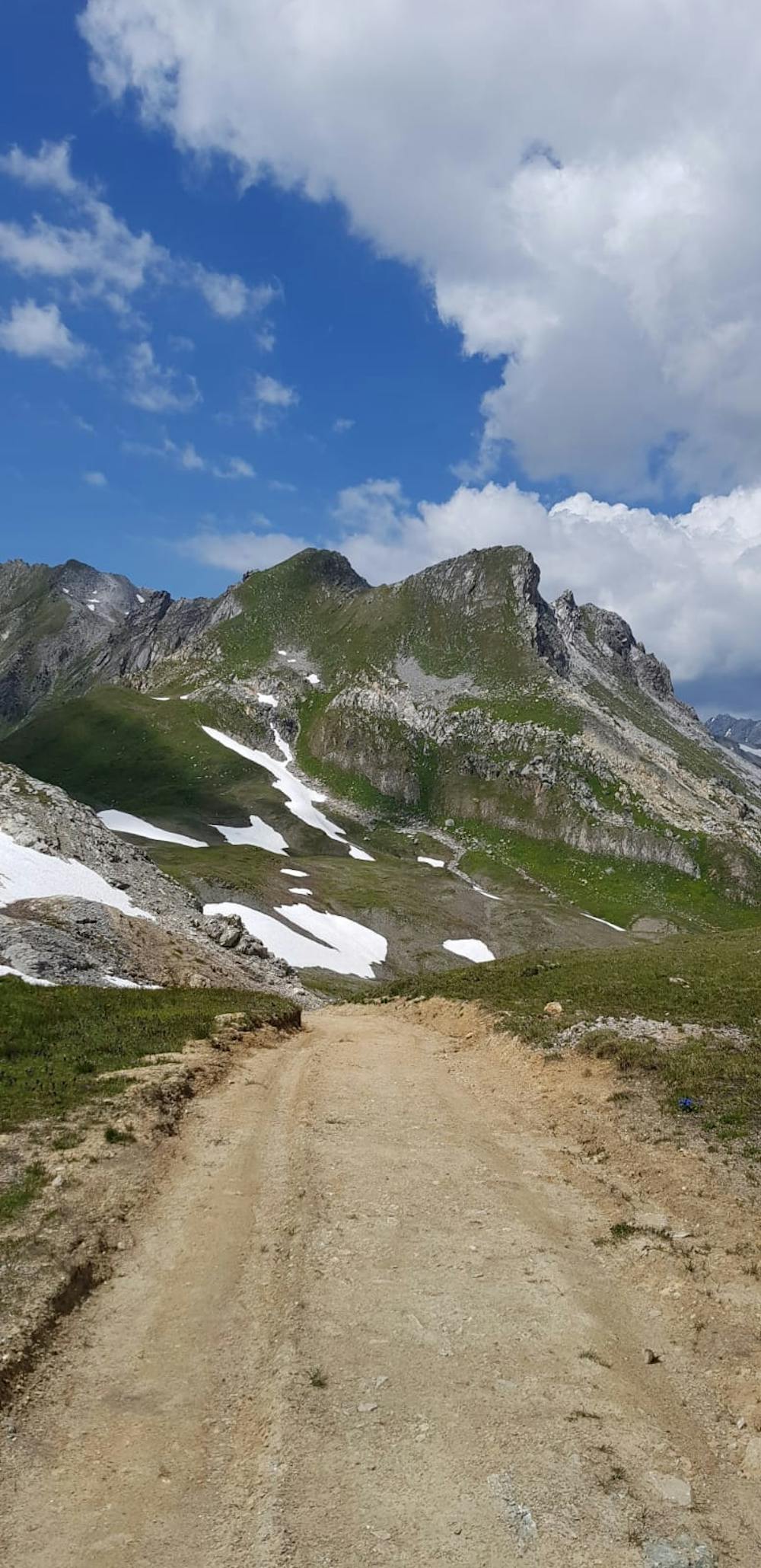
Amazing loop from Tignes. Great climbs, amazing scenery and some technical trails also. You can get water at Refuge du Palet after 5.1km. The whole run is above 2100m+ altitude and maximum height is 2637m+.
Difficulty
Moderate
Low Exposure

The path is on completely flat land and potential injury is limited to falling over.
Remoteness

Away from help but easily accessed.