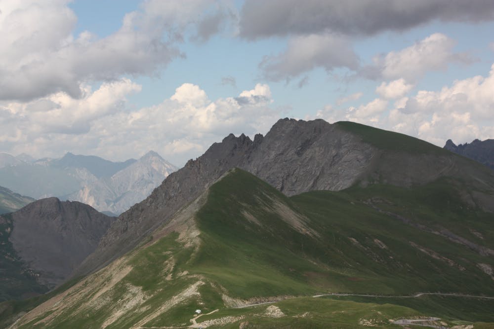
View from Col de Galibier
Saint-Jean-de-Maurienne
A ridge line that had to be run
Trail Running Moderate
- Distance
- 5 km
- Ascent
- 266 m
- Descent
- 266 m
- Duration
- 0-1 hrs
- Low Point
- 2.4 km
- High Point
- 2.5 km
- Gradient
- 10˚

This is a popular trail running route which is generally considered to be moderate. It's remote, it features medium exposure and is typically done between June and September. From a low point of 2.4 km to the maximum altitude of 2.5 km, the route covers 5 km, 266 vertical metres of ascent and 266 vertical metres of descent.
Description
360 views
Difficulty
Moderate
Medium Exposure

The trail contains some obstacles such as outcroppings and rock which could cause injury.
Remoteness
Away from help but easily accessed.