Omalo - Shatili hiking
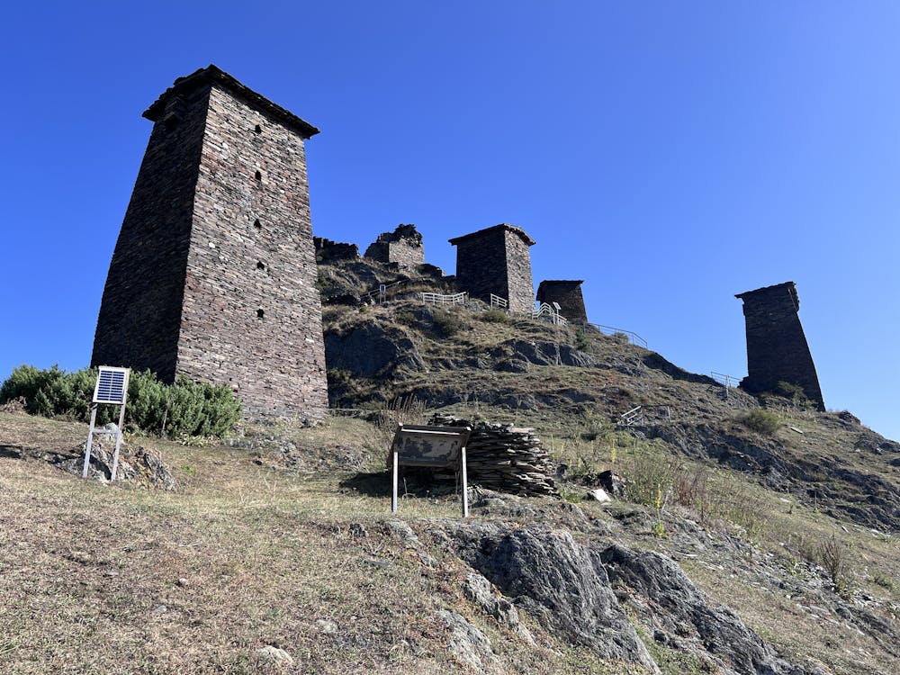
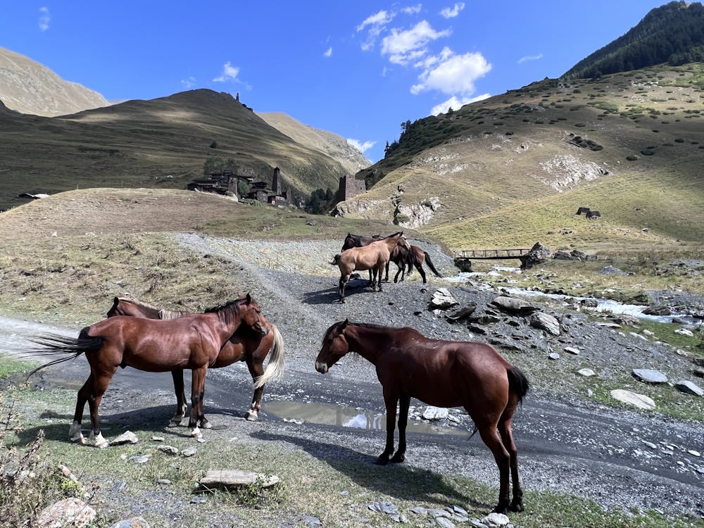
Remote trekking via old villages with medieval defensive towers and among shepherds on horseback
Also in Kakheti, Georgia • Chechnya, Russia
Hiking Difficult
- Distance
- 75 km
- Ascent
- 3.2 km
- Descent
- 3.8 km
- Duration
- 1 day +
- Low Point
- 1.4 km
- High Point
- 3.5 km
- Gradient
- 18˚

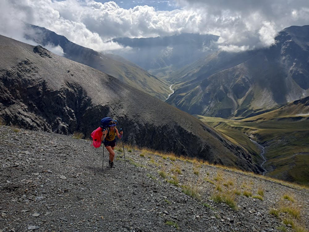
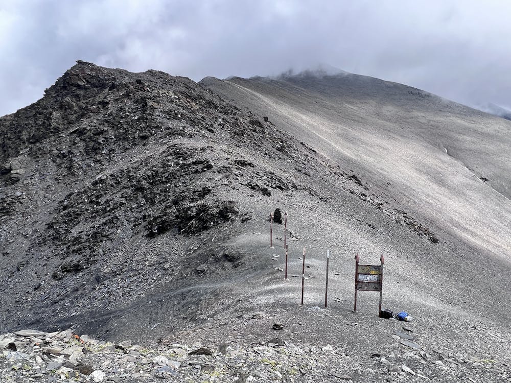
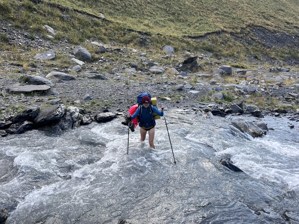
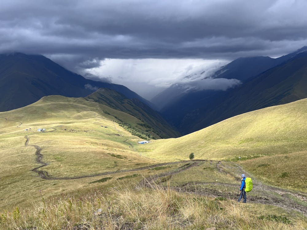
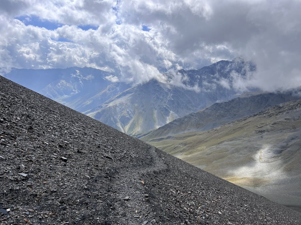
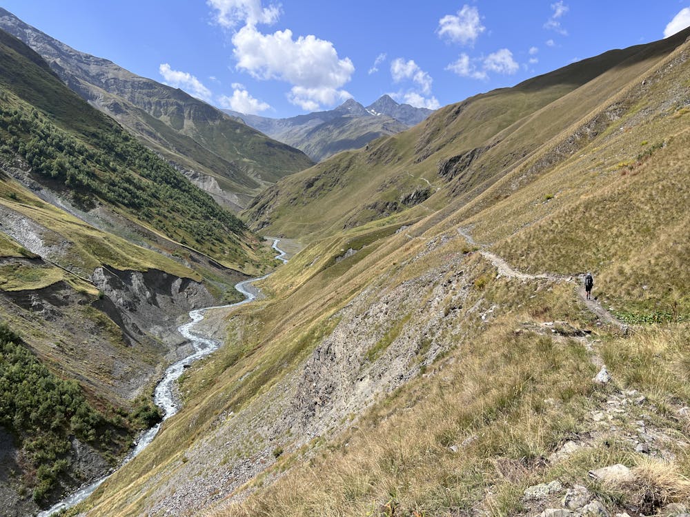
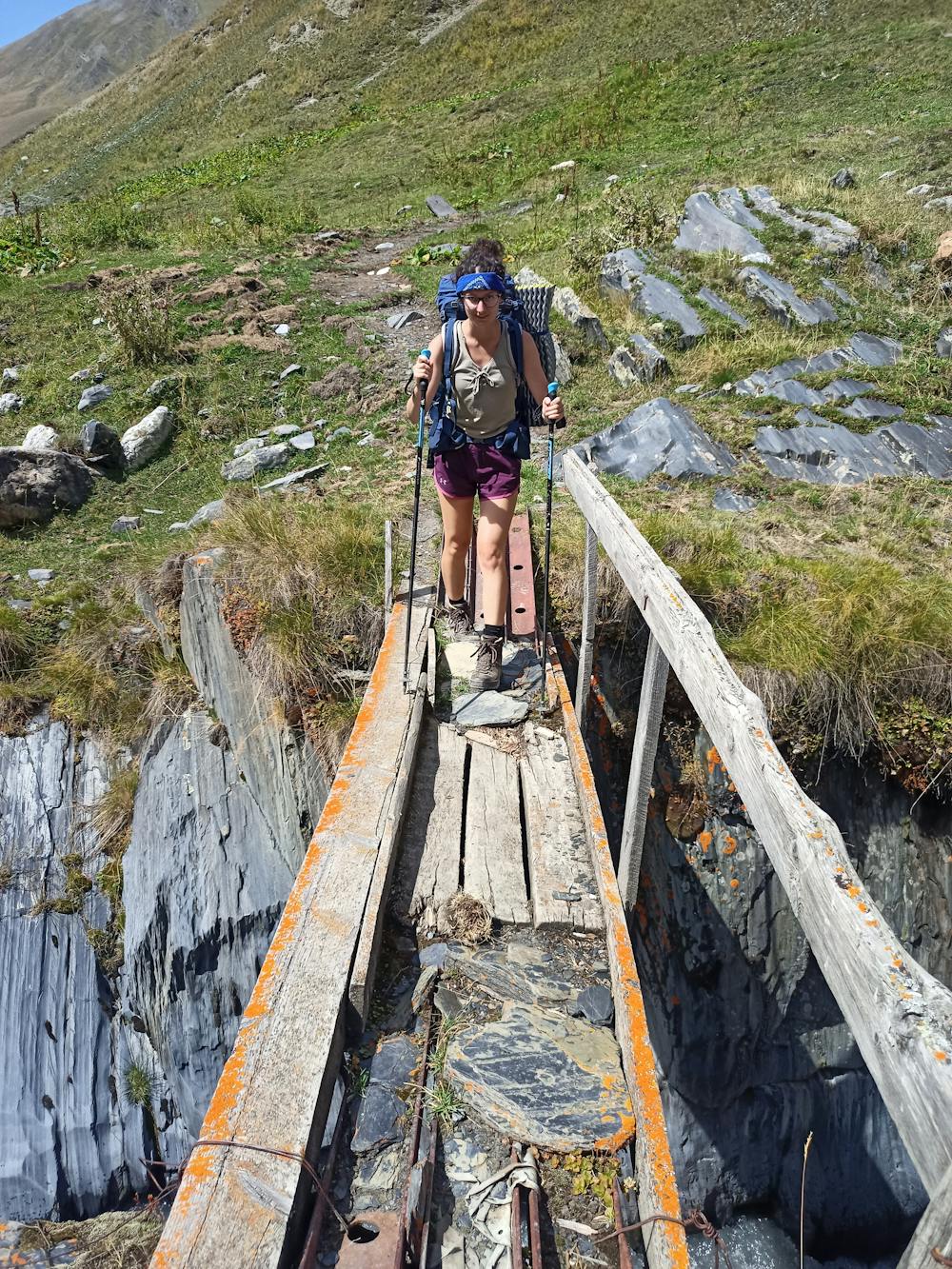
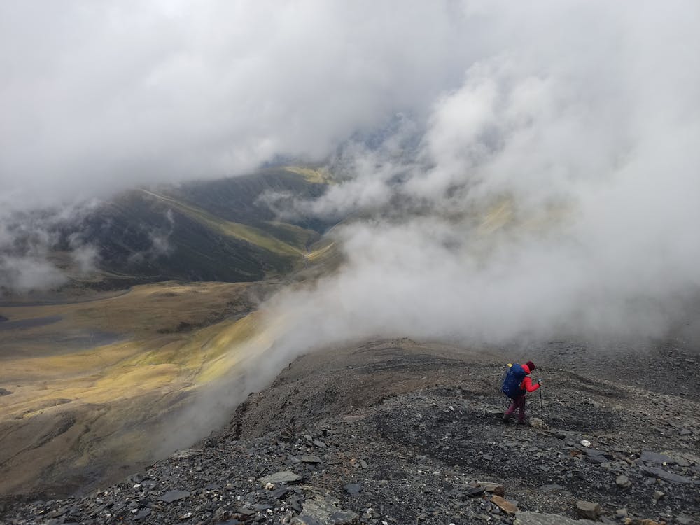
From Omalo to Dartlo, approx. 15 km through the river valley, past Girevi, where you can still buy beer, check Instagram on WiFi and where you will be checked at the first border control turn into the right valley, then 21 km, cross at least one glacial stream, cross the Atsunta Pass , which is usually in the shoulder season already with a little snow and regular storms, then descend the ridge to the shelter with a chilled beer again, check out at the nearby border control and descend into the river valley and walk almost all the way to Shatili. There is a clear footpath everywhere, but having a map or GPS is definitely not to be thrown away. The first and last kilometers are on a gravel road where you can hire or hitch a car. The entire route can also be ridden on horseback, but we did not find out the details.
- •
- •
- •
- •
- •
- •
- •
- •
- •
- •
Difficulty
Difficult
Hiking trails where obstacles such as rocks or roots are prevalent. Some obstacles can require care to step over or around. At times, the trail can be worn and eroded. The grade of the trail is generally quite steep, and can often lead to strenuous hiking.
Medium Exposure

The trail contains some obstacles such as outcroppings and rock which could cause injury.
Remoteness

Little chance of being seen or helped in case of an accident.
Best time to visit
Features
- Wildlife
- Historical
- Picturesque
- Water features