Conquer the Kreuzspitze
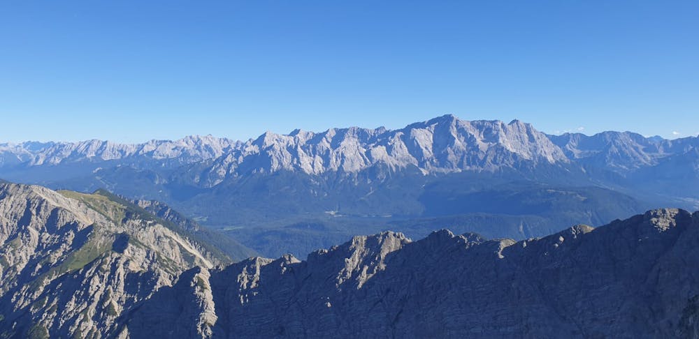
This relatively easy hike rewards you with a clear view of the Eibsee and the Zugspitze.
Hiking Moderate
- Distance
- 13 km
- Ascent
- 1.1 km
- Descent
- 1.1 km
- Duration
- 5-6 hrs
- Low Point
- 1.1 km
- High Point
- 2.2 km
- Gradient
- 32˚

This hike is really undervalued for what it rewards. The hike to the summit takes only about 2 hours with a 1-2 hour descent depending on your speed.
Description
Park right on the Austrian border and follow the trail signs to the riverbed. Cross the riverbed and look for the trail signs. After this point simply stay on trail.
After some switchbacks you will have to cross a scree field where you are presented with 2 options. Follow the path into the bushes to a mild scramble over some rocks or hike up super loose scree. Hopefully this is an easy choice.
After committing to either of these paths just follow the ridge line to the summit.
Difficulty
Moderate
Hiking along trails with some uneven terrain and small hills. Small rocks and roots may be present.
Medium Exposure

The trail contains some obstacles such as outcroppings and rock which could cause injury.
Remoteness
Away from help but easily accessed.
Best time to visit
Features
- Wildlife
- Picturesque
- Summit Hike
- Dog friendly
- Wild flowers
- Family friendly
- Forestry or heavy vegetation