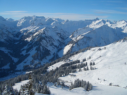
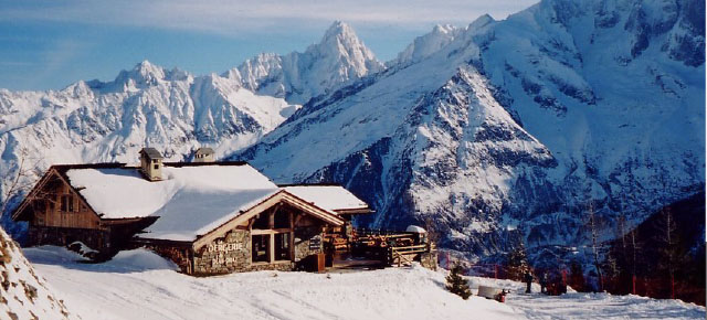
17 routes · Freeride Skiing
Go hiking in Bayern with curated guides of the best hikes across the region. With over 76 3D trail maps in FATMAP, you can easily discover and navigate the best trails in Bayern.
No matter what your next adventure has in store, you can find a guide on FATMAP to help you plan your next epic trip.
Get a top hiking trail recommendation in Bayern from one of our 7 guidebooks, or get inspired by the 76 local adventures uploaded by the FATMAP community. Start exploring now!
17 routes · Freeride Skiing
15 routes
11 routes · Hiking

11 routes
2 routes
1 routes
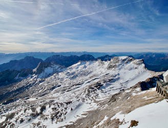
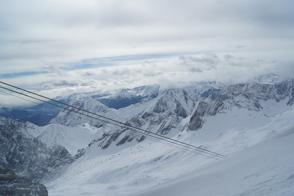
Hike to the top of Germany's highest peak!
Difficult Hiking
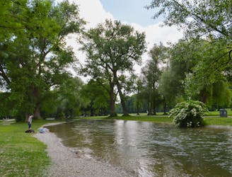
A peaceful journey through an incredible urban park
Easy Hiking
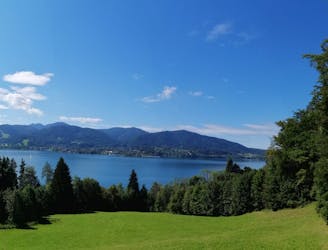
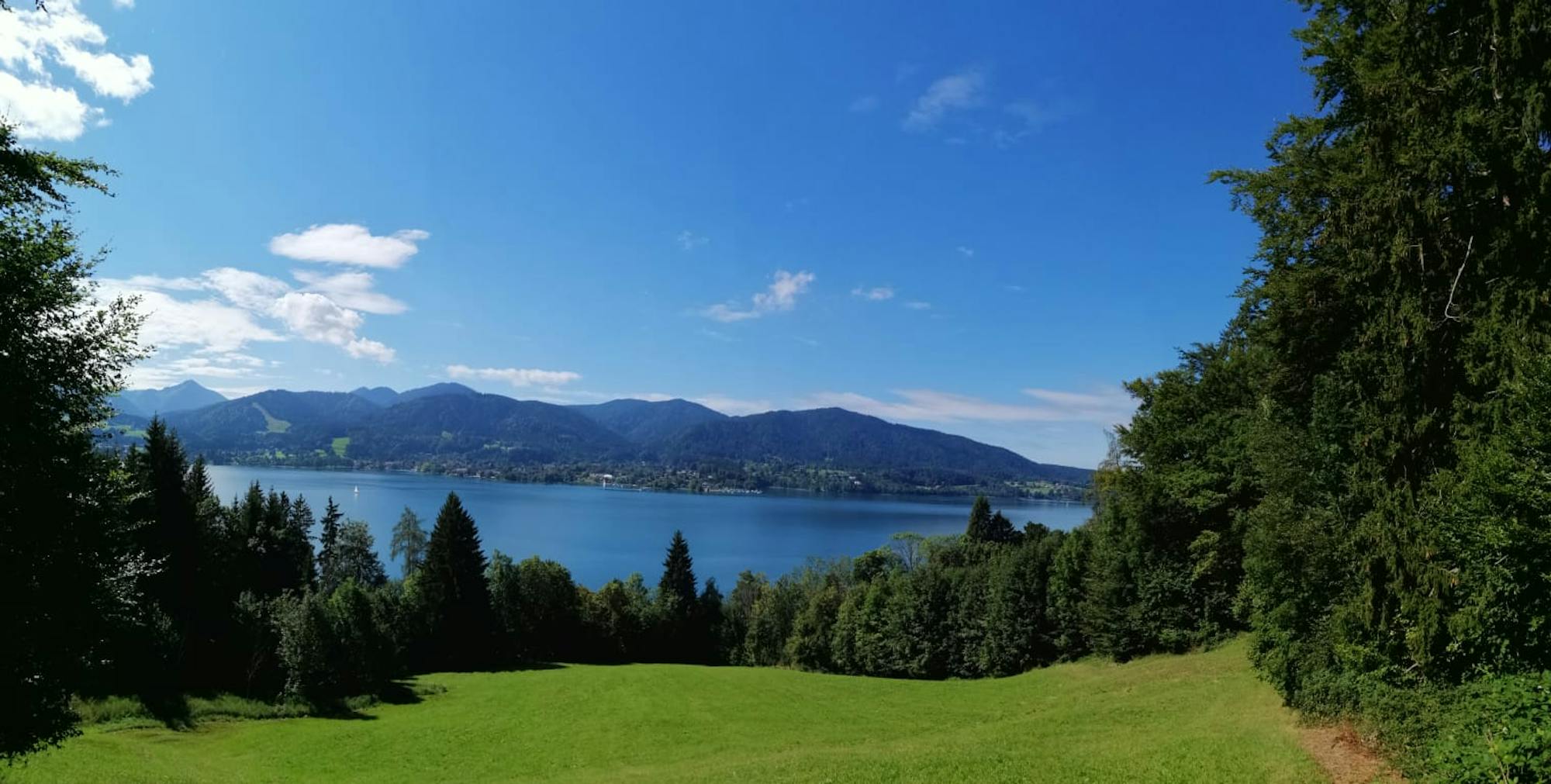
A truly classic hike above a beautiful Bavarian lake.
Moderate Hiking
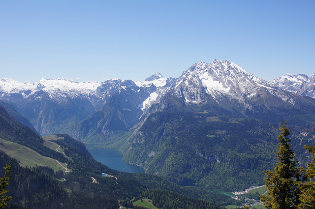
A gorgeous trip along the shore of one of Bavaria's finest lakes.
Easy Hiking

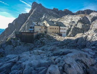
Hochkalter über Blaueishütte - Schärtenwandkopf - Kleinkalter
Difficult Hiking
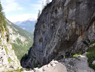
Kärlingerhaus - Baumgartl - Steinernes Meer - Riemannhaus - Maria Alm
Moderate Hiking
Königssee - Kärlingerhaus
Moderate Hiking

Watzmann überschreitung which is a great überschreitung
Difficult Hiking

7 routes · Alpine Climbing · Mountain Biking · Hiking · Trail Running

3 routes · Hiking