
3 routes · Hiking
A peaceful journey through an incredible urban park
Hiking Easy

This is a hike that could not be much more accessible and it's couldn't be much more family friendly either. It's virtually flat throughout and there are no obstacles, making it perfect for pushchairs or small kids beginning their hiking careers.
The trip starts at the Studentenstadt UBahn station, north of Munich city centre. Head south-east into the English Gardens and then start out on your trip through the Gardens by going north to the Aumesiter restaurant. This is a bit of a detour but the restaurant is so charming and picturesque that it seems a shame not to pay it a visit.
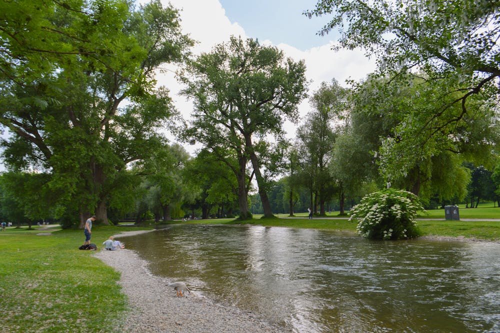
Suitably refreshed, start heading south on any of the hundreds of paths that traverse through the Gardens. There is a line drawn here which, if you follow it, will take you through some of the finest scenery in the Gardens but it's merely a suggestion of where you might want to go. The choices of route are virtually endless, but whichever way you go, make sure you check out the river and the Kleinhesseloher See, both of which you'll encounter if you follow this line.
The hiking through the Gardens is always fun and never stressful, so pick a line to take and simply enjoy the journey. Upon reaching the southern end of the Gardens, head through busy city streets - which feel quite strange after such a peaceful hike - to the Marienplatz square in the centre of Munich.
Easy
Walking along a well-kept trail that’s mostly flat. No obstacles are present.

The path is on completely flat land and potential injury is limited to falling over.
Close to help in case of emergency.
3 routes · Hiking