Crown of The Wilder Kaisers

A nice trek over the wilder kaiser range with 5 optional klettersteig
Difficult Hiking
- Distance
- 46 km
- Ascent
- 3.9 km
- Descent
- 4.2 km
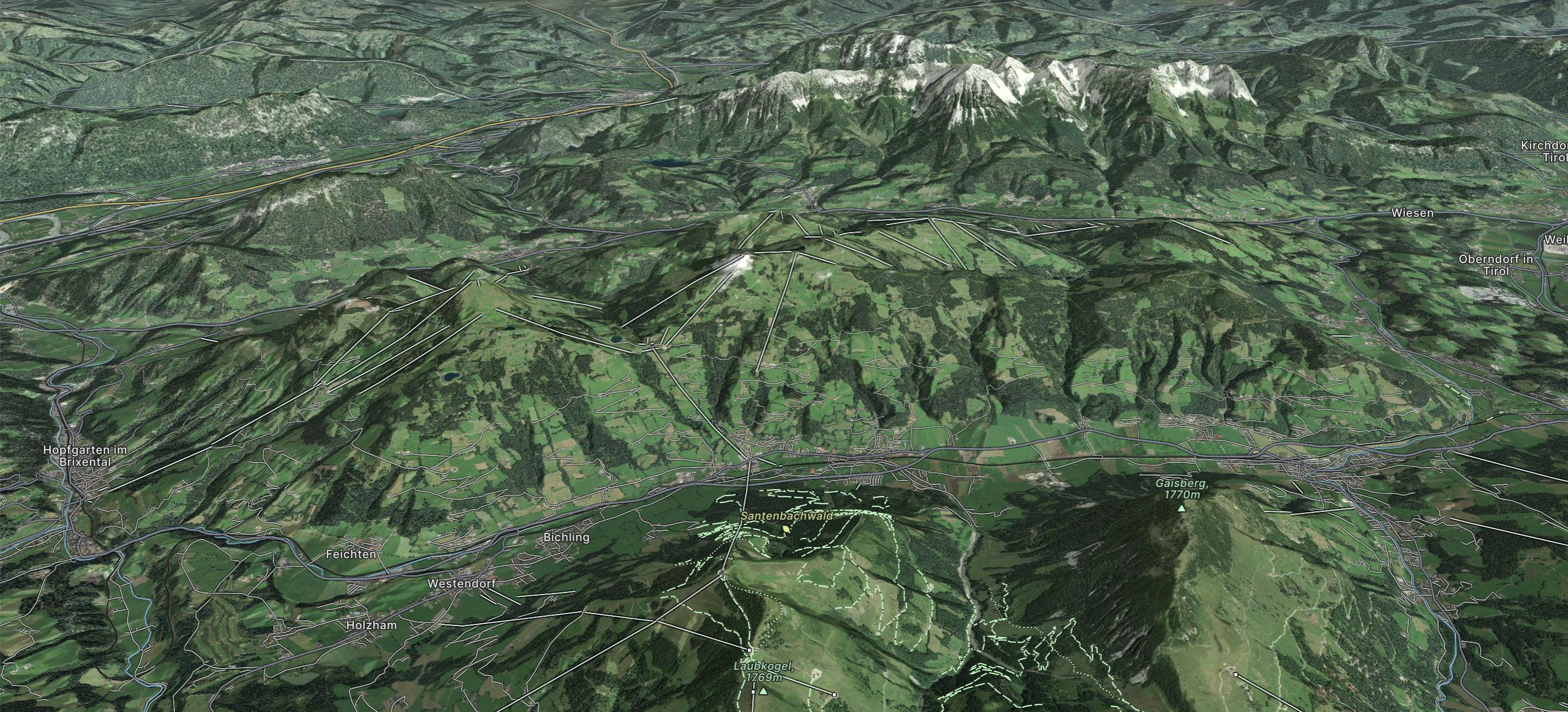
Go hiking in Wilder Kaiser with curated guides of the best hikes across the region. With over 11 3D trail maps in FATMAP, you can easily discover and navigate the best trails in Wilder Kaiser.
No matter what your next adventure has in store, you can find a guide on FATMAP to help you plan your next epic trip.
Get a top hiking trail recommendation in Wilder Kaiser from one of our 2 guidebooks, or get inspired by the 11 local adventures uploaded by the FATMAP community. Start exploring now!
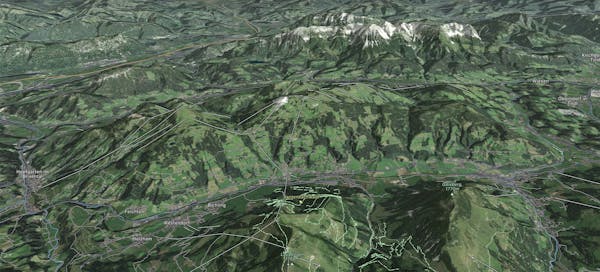
A nice trek over the wilder kaiser range with 5 optional klettersteig
Difficult Hiking

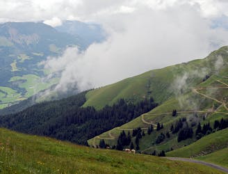
Altitude: 1563m. Wonderful sunrise
Moderate Hiking

Indescribable! And many chamois!
Severe Hiking

Top of Zahmer Kaiser (Naunspitze, Petersköpfl, Pyramidenspitze, Vor. Kesselschneid). My real time: 7 hours
Difficult Hiking
A circular route through the red mountain trails leading to the famous wine cellars of Angerer Alm.
Moderate Hiking