8.1 km away
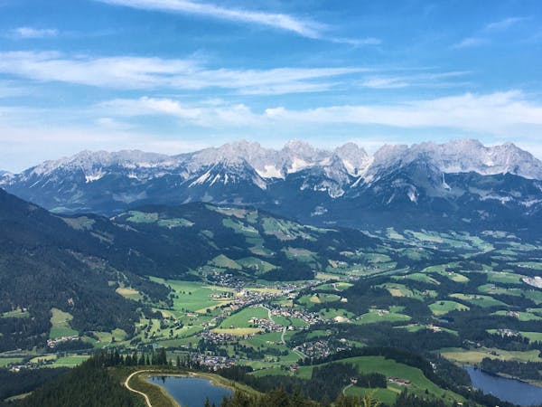
Kitzbühel to Schwarzsee
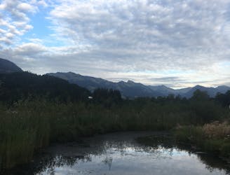
A very pleasant family-friendly walk to Kitzbühel’s favourite nearby lake.
Easy Hiking
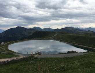
- Distance
- 6.6 km
- Ascent
- 167 m
- Descent
- 166 m
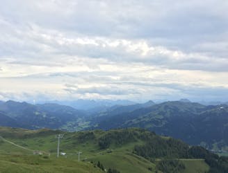
A nice trek over the wilder kaiser range with 5 optional klettersteig
Hiking Difficult

The Crown of the Wilder Kaiser Mountains is a ~43.7 km 4700 hm Tour over the Highest Point in the Wilder Kaiser Mountain Range. The route has 5 optional Via Ferratas/ Klettersteige ranging from B/C up to D. There are multiple Hütte along the route enabling you to break it up as you wish.
Difficult
Hiking trails where obstacles such as rocks or roots are prevalent. Some obstacles can require care to step over or around. At times, the trail can be worn and eroded. The grade of the trail is generally quite steep, and can often lead to strenuous hiking.

Some trail sections have exposed ledges or steep ascents/descents where falling could cause serious injury.

Away from help but easily accessed.
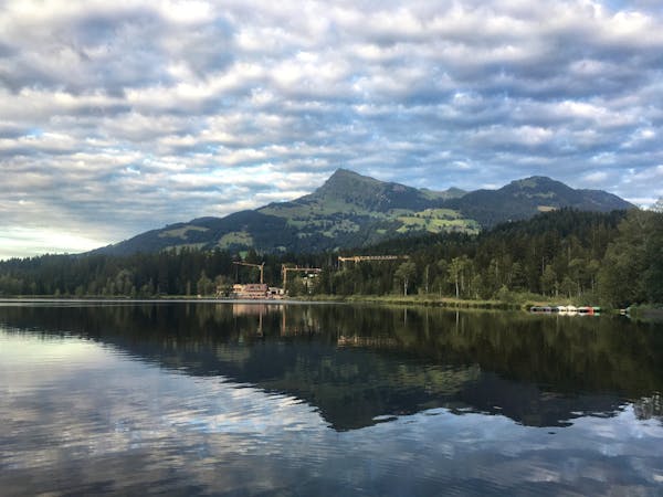
8.1 km away
A very pleasant family-friendly walk to Kitzbühel’s favourite nearby lake.
Easy Hiking
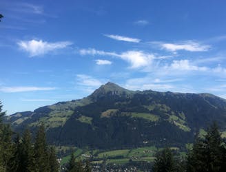
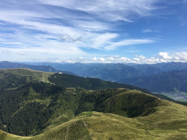
8.6 km away
Climb to the top of the Kitzbühl local's favourite mountain!
Difficult Hiking
8.7 km away
A short and pretty circular hike on the Kitzbühler Horn.
Easy Hiking
9.1 km away
A fantastic ascent and descent of Kitzbühel’s famous Hahnenkamm mountain.
Difficult Hiking
4 routes · Hiking
3 routes · Hiking
8 routes · Hiking