Gaißberg (1372m)
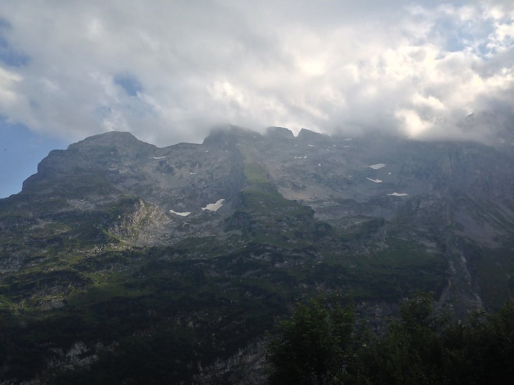
For unadulterated views of the Allgäu Alps as well as the Grünten and Fellhorngrat, head up Gaißberg on a sunny day.
Hiking Difficult
- Distance
- 6.7 km
- Ascent
- 570 m
- Descent
- 570 m
- Duration
- 2-3 hrs
- Low Point
- 834 m
- High Point
- 1.4 km
- Gradient
- 14˚

For unadulterated views of the Allgäu Alps as well as the Grünten and Fellhorngrat, head up Gaißberg on a sunny day.
Description
From Lochweisen follow the steep footpath through wildflower meadows and shady woodland until you hit the exposed ridgeline of Geißberg (1372m). Making a loop, descend down a gorge until you eventually meet the path you started on on the outskirts of Lockweisen.
Sources
Difficulty
Difficult
Hiking trails where obstacles such as rocks or roots are prevalent. Some obstacles can require care to step over or around. At times, the trail can be worn and eroded. The grade of the trail is generally quite steep, and can often lead to strenuous hiking.
High Exposure

Some trail sections have exposed ledges or steep ascents/descents where falling could cause serious injury.
Remoteness

Away from help but easily accessed.
Best time to visit
Features
- Alpine
- Wildlife
- Picturesque
- Summit Hike
- Wild flowers