Gerstruben Hike
Kleinwalsertal
Parkplatz Renksteg to Bergbauerndorf Gerstruben
Hiking Easy
- Distance
- 4.3 km
- Ascent
- 353 m
- Descent
- 19 m
- Duration
- 1-2 hrs
- Low Point
- 821 m
- High Point
- 1.2 km
- Gradient
- 9˚

An easy hike, suitable for all the family, up to the hut at Gerstruben.
- •
- •
Description
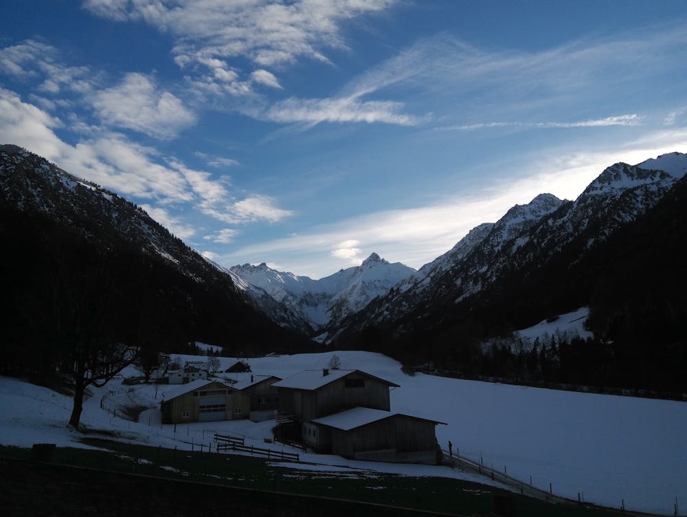
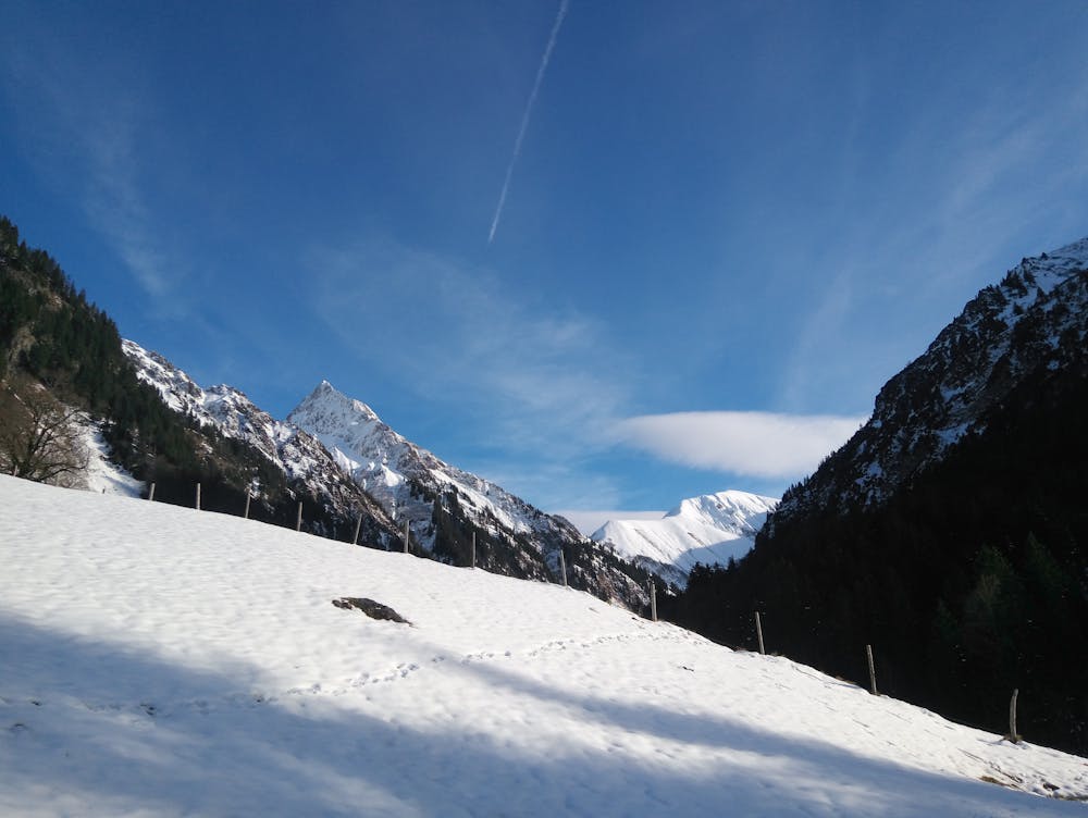
From the parking at Renksteg, follow the road, past the fields and through some farms. You'll see sign posts for Gerstruben and you can choose the road or the trail through the woods and past a waterfall.
On the route, you'll have great views down two different valleys.
It's worth checking the opening times for the hut before you go!
Difficulty
Easy
Walking along a well-kept trail that’s mostly flat. No obstacles are present.
Low Exposure

The path is on completely flat land and potential injury is limited to falling over.
Remoteness
Close to help in case of emergency.
Best time to visit
Features
- Historical
- Picturesque
- Dog friendly
- Wild flowers
- Water features
- Family friendly
- Forestry or heavy vegetation