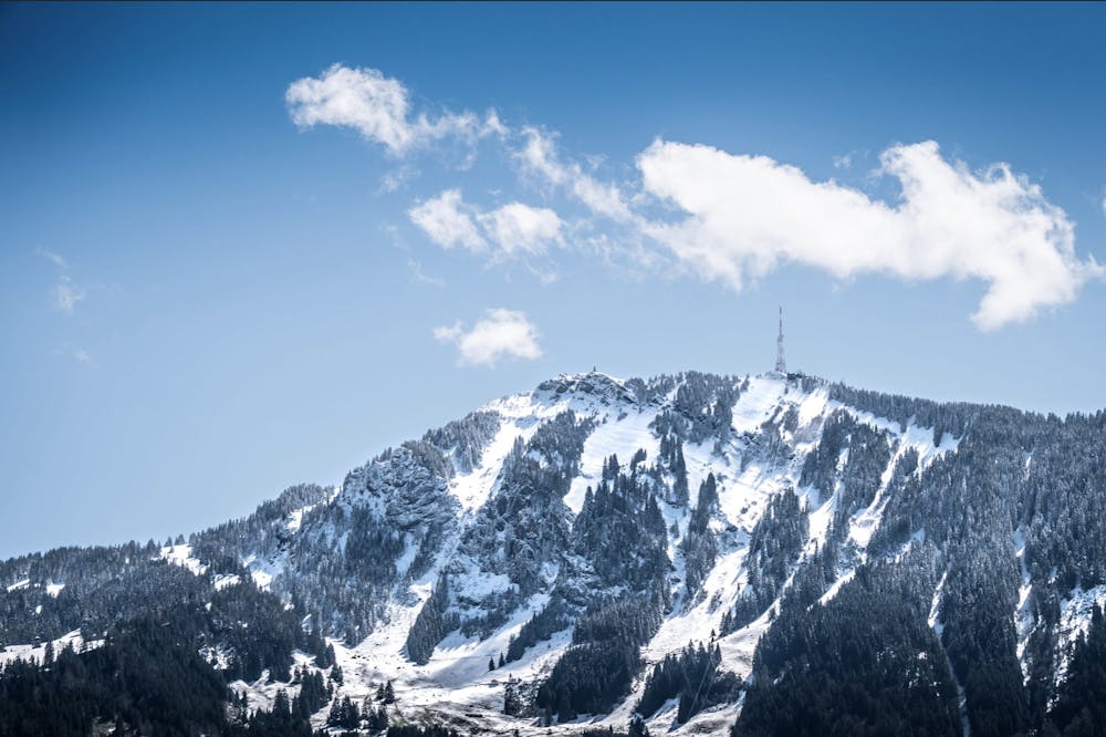
Grünten, Allgäu
South face hike up to the top of Grünten
Hiking Easy
- Distance
- 3.1 km
- Ascent
- 664 m
- Descent
- 2 m
- Duration
- 1-2 hrs
- Low Point
- 1 km
- High Point
- 1.7 km
- Gradient
- 22˚

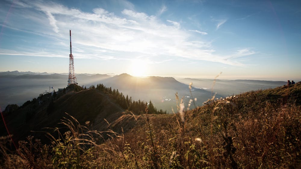
Grünten is an iconic and classic hike in the Bavarian region of the Allgäu.
- •
- •
- •
Description
This route starts on the south side of the mountain, although there are many other options to get to the top.
This is the quieter and less popular route with no huts.
The route is steep in certain sections, but quite a safe and well-marked trail.
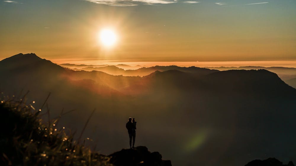
From the top there are fantastic 360 views.
Difficulty
Easy
Walking along a well-kept trail that’s mostly flat. No obstacles are present.
Low Exposure

The path is on completely flat land and potential injury is limited to falling over.
Remoteness
Close to help in case of emergency.
Best time to visit
Features
- Alpine
- Wildlife
- Picturesque
- Summit Hike
- Dog friendly
- Wild flowers
- Water features
- Family friendly
- Forestry or heavy vegetation