Hike to Kappeler Alp Hut
Easy hike to a mountain hut with great views!
Hiking Easy
- Distance
- 6.3 km
- Ascent
- 451 m
- Descent
- 456 m
- Duration
- 2-3 hrs
- Low Point
- 893 m
- High Point
- 1.3 km
- Gradient
- 15˚

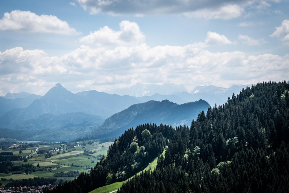
There are a wide variety of hikes and mountain huts to choose from in the Bavarian region of the Allgäu. You can pretty much pick and choose your desired length, terrain and ascent - there will be something for you.
- •
- •
- •
- •
- •
Description
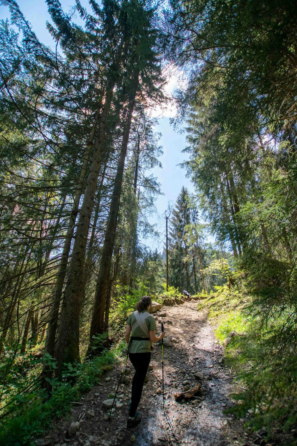
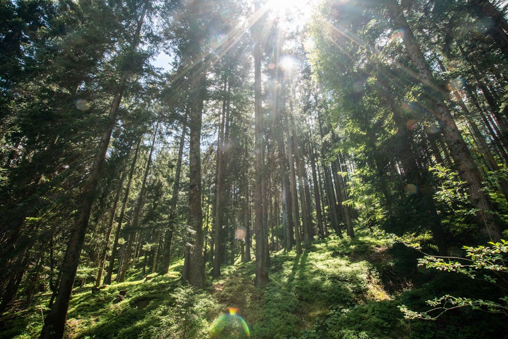
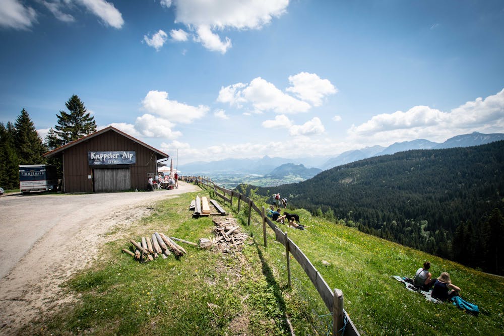
This easy hike up to the Kappeler Alm Hut gives you a little bit of everything - forest trail, meadows, wide gravel road and a few different route options to pick from.
Starting at the car park in Kappel, take your pick from the selection of signed trails up to the top.
This particular route takes you up an easy but occasionally steep path through the woods, eventually coming out on the ridge just below Kappeler Alp hut. Something to bear in mind is the route is fine when dry but would certainly be much tricker in the wet.
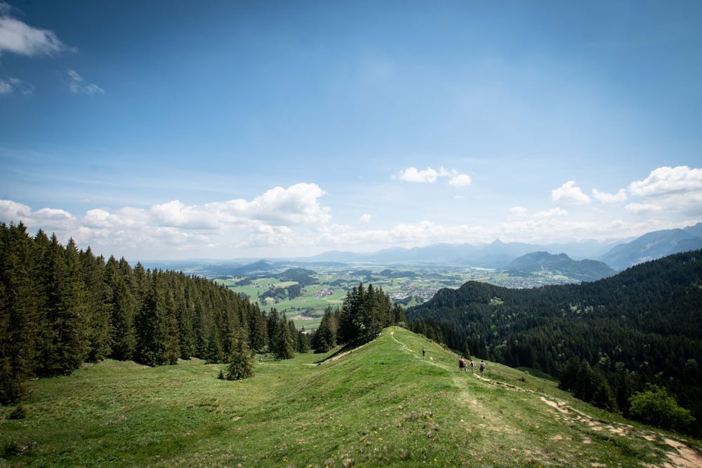
The reward for the steep hike is glorious views over towards Germany's highest mountain, the Zugpsitze, and of course, a cold beer at the hut!
If you still have plenty of energy, you can even continue to go higher up towards Alpspitze and Edelsberg, both offering hiking loops that will bring you back to the car park.
From Kappeler Alm, you can return back the way you came or take the tarmac road. On the latter, you'll pass by a turn off to the Hündeleskopfhütte (claiming to the the first vegetarian hut in the Alps!). This is a much shorter hike from the car park and another option.
Equally, the tarmac road makes both huts accessible by bike.
Be sure to check opening times (and menus) for both huts here: https://www.kappeleralp.de https://huendeleskopfhuette.de
Difficulty
Easy
Walking along a well-kept trail that’s mostly flat. No obstacles are present.