Kappeler Alm and Hundeleskopf
An easy round tour up to Kappeler Alm and Hundeleskopf
Hiking Easy
- Distance
- 7.1 km
- Ascent
- 487 m
- Descent
- 489 m
- Duration
- 2-3 hrs
- Low Point
- 893 m
- High Point
- 1.3 km
- Gradient
- 14˚

Starting at the parking in Kappel, head up past the tree climbing centre and then right over the small bridge.
- •
- •
- •
- •
Description
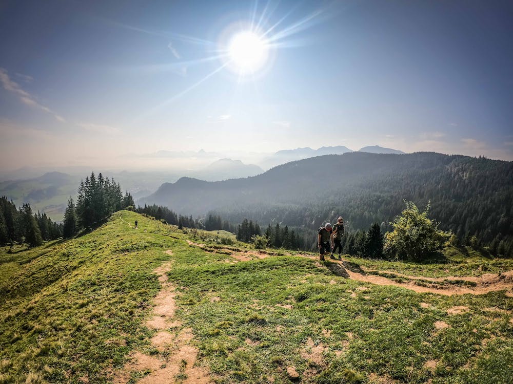
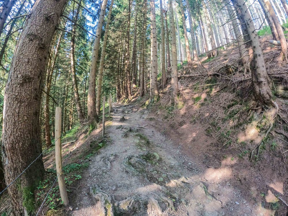
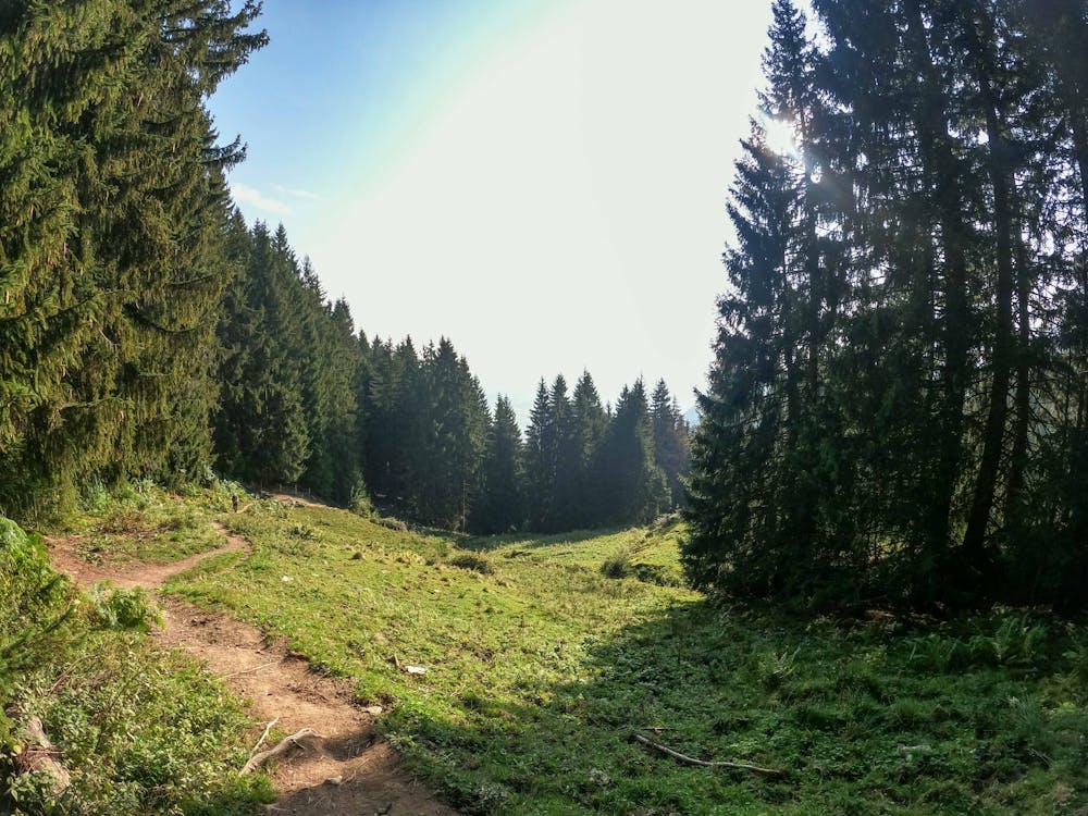
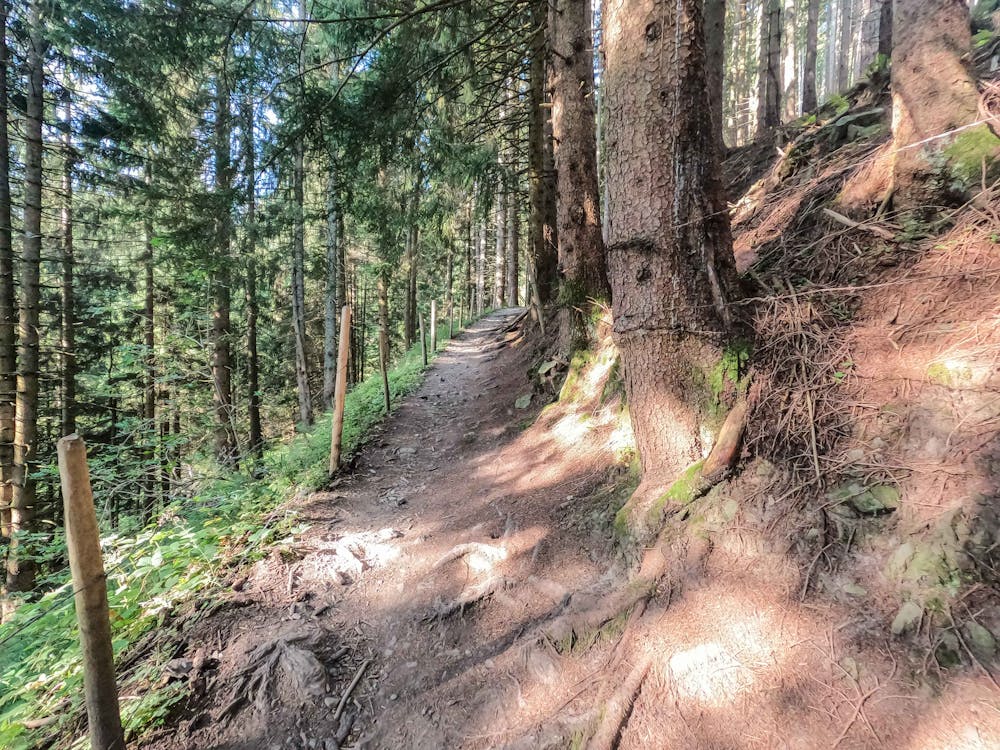
You'll wind your way up through the forest eventually getting out on the ridge at Kapeler Alp hut.
Follow the road down and around to the Hundeleskopf Hut and back down to the parking.
Difficulty
Easy
Walking along a well-kept trail that’s mostly flat. No obstacles are present.