Reichenbach to Rubihorn
A short but steep climb to stunning views.
Hiking Difficult
- Distance
- 11 km
- Ascent
- 1.1 km
- Descent
- 1.1 km
- Duration
- 3-4 hrs
- Low Point
- 864 m
- High Point
- 1.9 km
- Gradient
- 16˚

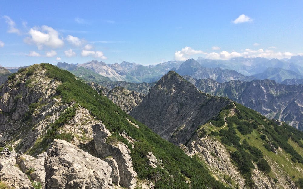
Hike up to Rubihorn (1.957 m) from nearby Reichenbach. Its a steep and steady climb up to the summit, which on a clear day affords great views of the Illertal Valley bellow and the surrounding giant Allgäu Alps. Once you’ve soaked it all in, turn around and come back exactly the way you came.
Description
Difficulty
Difficult
Hiking trails where obstacles such as rocks or roots are prevalent. Some obstacles can require care to step over or around. At times, the trail can be worn and eroded. The grade of the trail is generally quite steep, and can often lead to strenuous hiking.
Medium Exposure

The trail contains some obstacles such as outcroppings and rock which could cause injury.
Remoteness
Away from help but easily accessed.
Best time to visit
Features
- Alpine
- Wildlife
- Picturesque
- Summit Hike
- Wild flowers