Reuterwanne Round Tour
From Alpenhaus Toni to Reuterwanne Summit
Hiking Easy
- Distance
- 6.8 km
- Ascent
- 451 m
- Descent
- 450 m
- Duration
- 2-3 hrs
- Low Point
- 1.1 km
- High Point
- 1.5 km
- Gradient
- 14˚

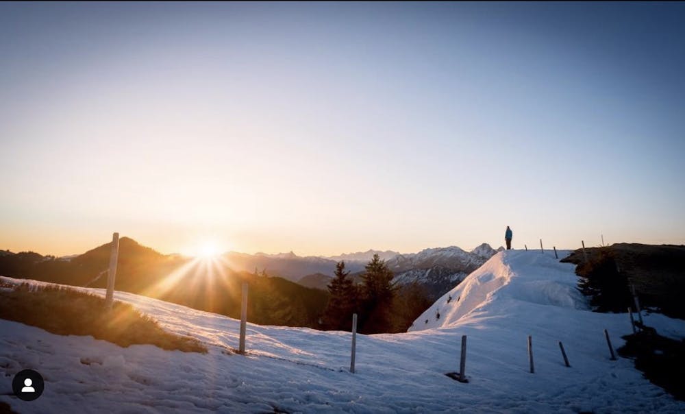
An easy hike up to the summit of Reuterwanne.
Description
This is a classic tour in the Allgäu, with multiple huts open in the summer to stop at.
From the parking at Alpenhaus Toni, follow the road up and take a left at the signed posted trail.
This will take you up onto a ridge line through the forest, with a steep trail that emerges below the summit. Again, go through the woods and follow the trail to the top.
You can either return the way you came or follow the trail around and down past another hut, joining your original route at the very end of the trail.
Difficulty
Easy
Walking along a well-kept trail that’s mostly flat. No obstacles are present.
Low Exposure

The path is on completely flat land and potential injury is limited to falling over.
Remoteness
Close to help in case of emergency.
Best time to visit
Features
- Alpine
- Wildlife
- Historical
- Picturesque
- Summit Hike
- Dog friendly
- Wild flowers
- Water features
- Family friendly
- Forestry or heavy vegetation