Sorgschrofen Summit Hike
Hike up to the Austrian Germany border!
Also in Tirol, Austria
Hiking Easy
- Distance
- 2.5 km
- Ascent
- 526 m
- Descent
- 0 m
- Duration
- 1-2 hrs
- Low Point
- 1.1 km
- High Point
- 1.6 km
- Gradient
- 16˚

Starting in the Austrian town of Jungholz, hike up a mixture of road, trails and fields to the top of Sorgschrofen.

- •
- •
Description
The route is sign posted and you'll cross a number of what are pistes in the winter.
The final ascent is very steep and scrambly. If it's wet or icy take care.
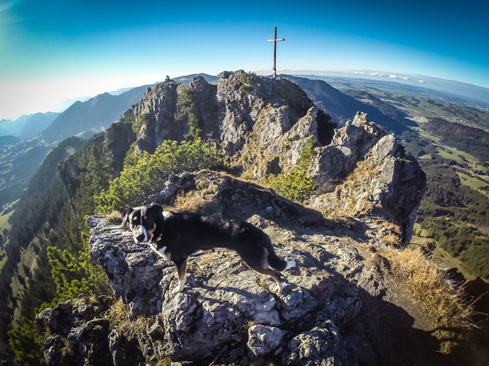
From the top there are stunning views into both Germany and Austria.
You can also cross the ridge to the other peak, Zinken.
Difficulty
Easy
Walking along a well-kept trail that’s mostly flat. No obstacles are present.
Medium Exposure

The trail contains some obstacles such as outcroppings and rock which could cause injury.
Remoteness

Close to help in case of emergency.
Best time to visit
Features
- Alpine
- Wildlife
- Picturesque
- Summit Hike
- Dog friendly
- Wild flowers
- Water features
- Forestry or heavy vegetation