Up to the Jägerbauernalm
Beautiful Alm with cows, chicken, and even a lama
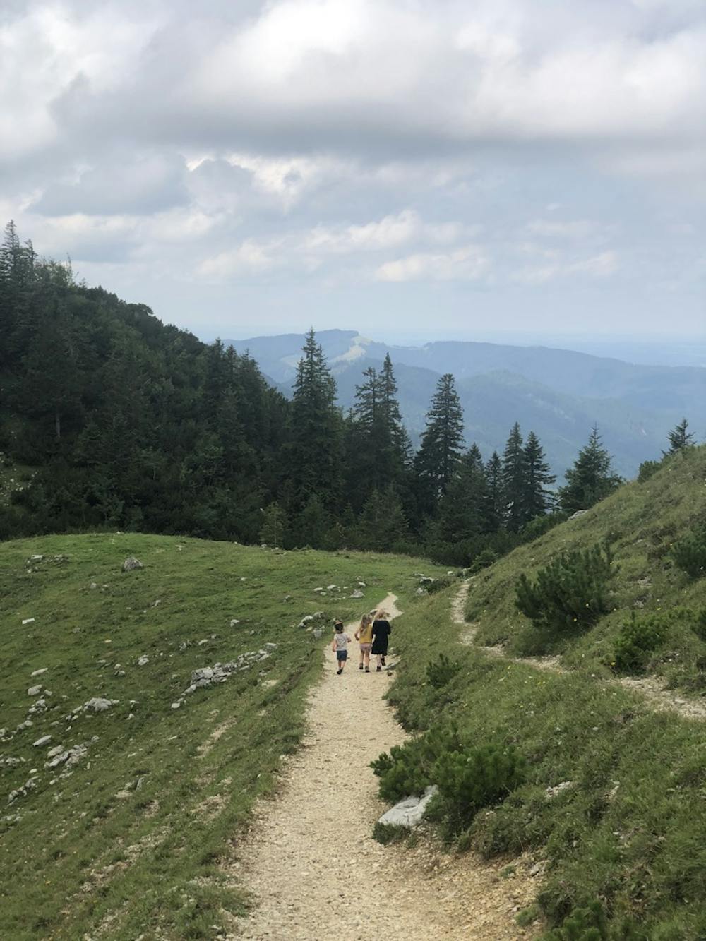
Hiking Moderate
- Distance
- 2.7 km
- Ascent
- 492 m
- Descent
- 2 m
- Duration
- 1-2 hrs
- Low Point
- 1.1 km
- High Point
- 1.5 km
- Gradient
- 15˚

This is a popular hiking route which is generally considered to be moderate. It's not remote, it features medium exposure and is typically done between April and September. From a low point of 1.1 km to the maximum altitude of 1.5 km, the route covers 2.7 km, 492 vertical metres of ascent and 2 vertical metres of descent.
Description
You start at the parking lot near the road to the Sattel ...
Difficulty
Moderate
Hiking along trails with some uneven terrain and small hills. Small rocks and roots may be present.
Medium Exposure

The trail contains some obstacles such as outcroppings and rock which could cause injury.
Remoteness

Close to help in case of emergency.
Best time to visit
Features
- Wildlife
- Dog friendly
- Family friendly