Wertacher Hörnle Off-Track Winter Hike
A variation on a classic round tour in the Allgauer Alps
Hiking Easy
- Distance
- 6.8 km
- Ascent
- 650 m
- Descent
- 657 m
- Duration
- 2-3 hrs
- Low Point
- 1.1 km
- High Point
- 1.7 km
- Gradient
- 16˚

In the winter season when the grazing animals are tucked away in their stables, the hiking rules in Germany are relaxed, meaning it's not illegal to go stray from the marked trails.
- •
- •
Description
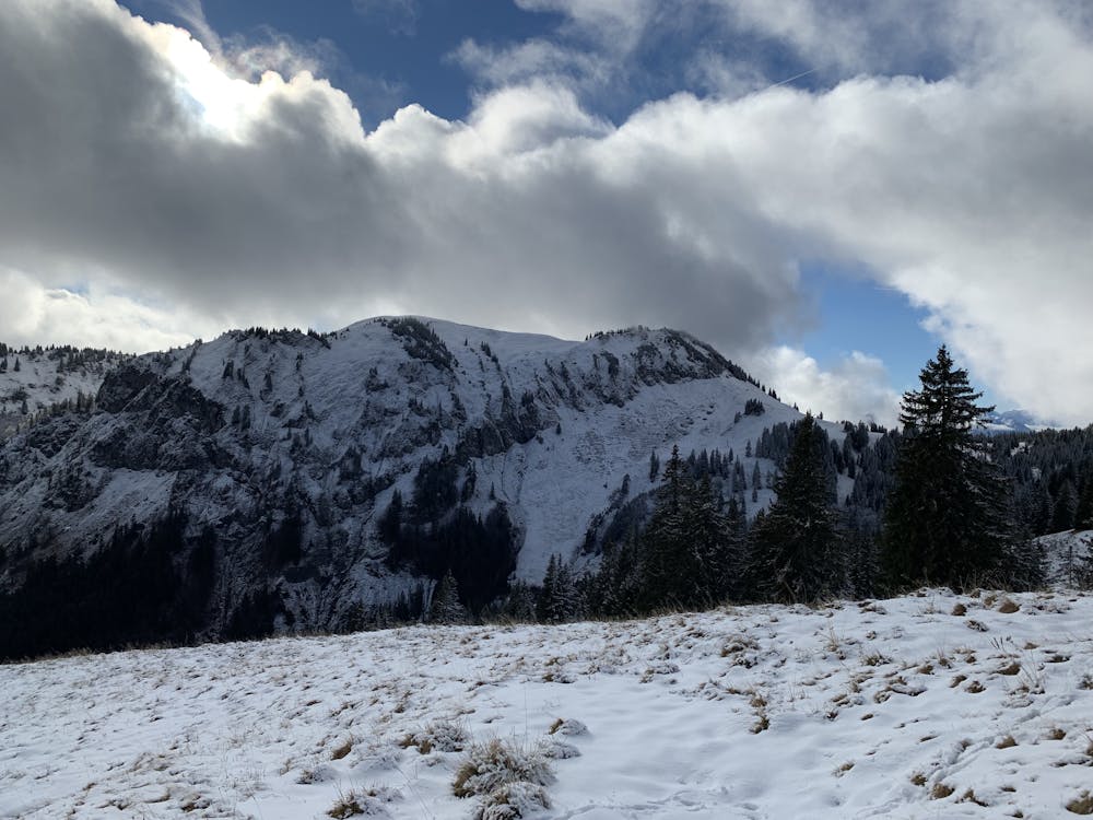
Starting at the Obergschwend parking, this route follows the marked trail but then goes off track and crosses a river.
The route is very scramble from here and can be pretty tricky.
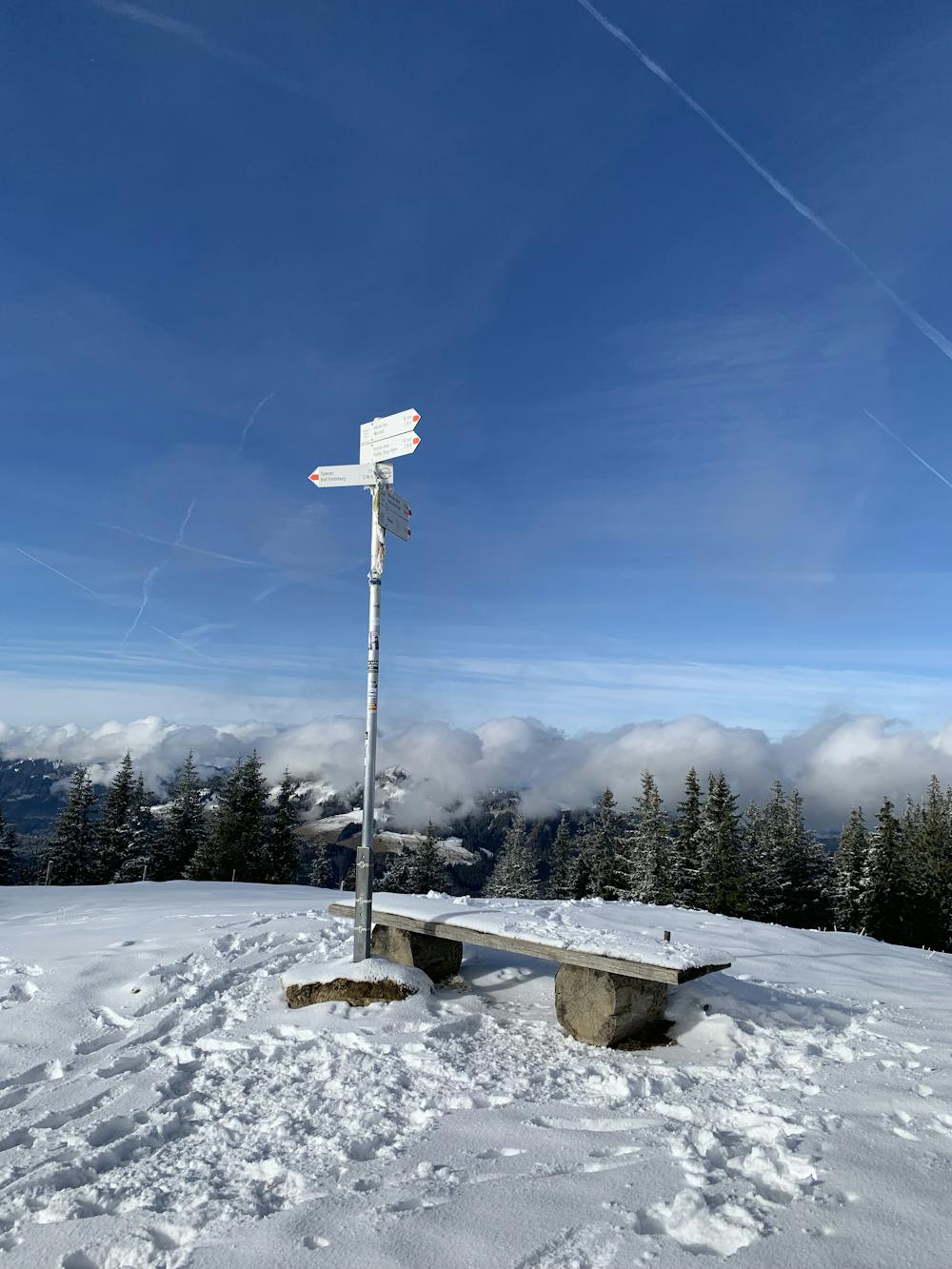
You'll eventually join the ridge line around back towards the summit and tops out at Wertacher Hörnle.
You can complete the loop by returning down the regular trail back down to the parking.
Difficulty
Easy
Walking along a well-kept trail that’s mostly flat. No obstacles are present.