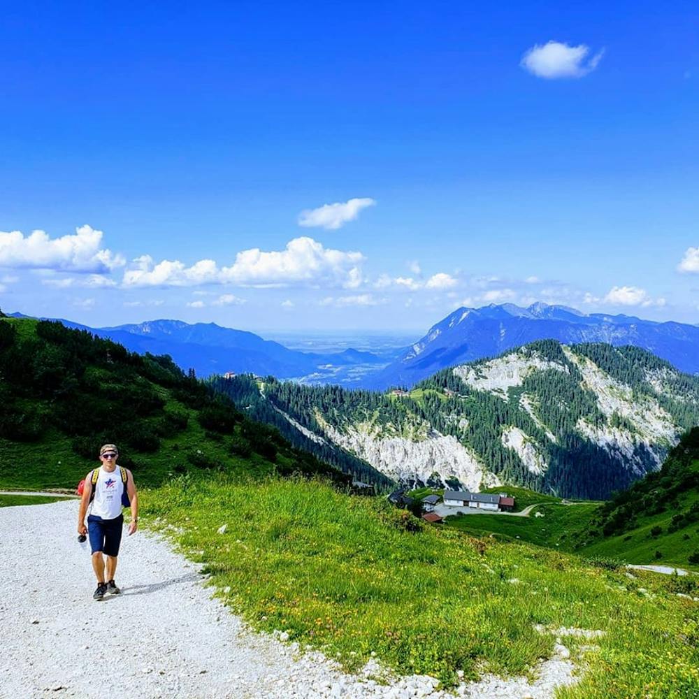
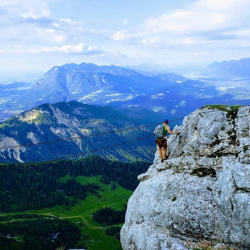
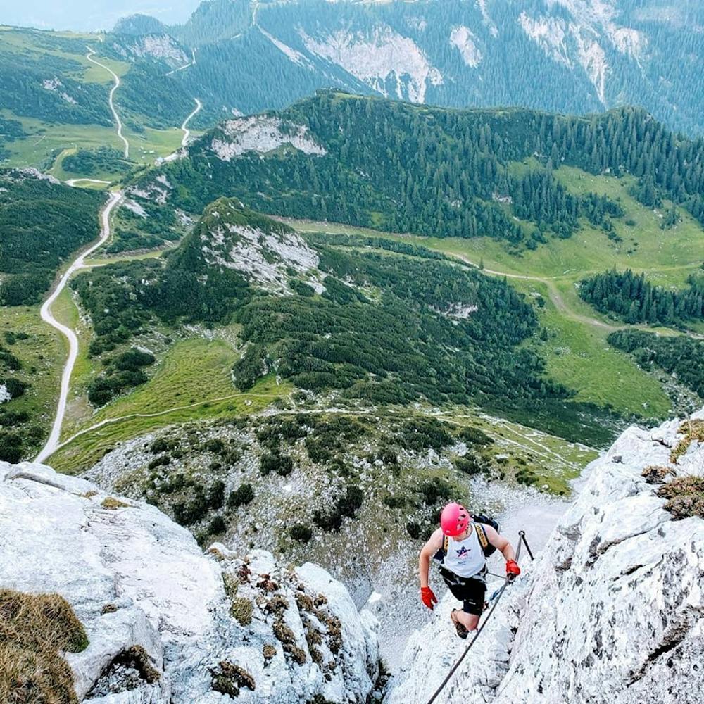
Mauerlaufersteig
Garmisch-Partenkirchen
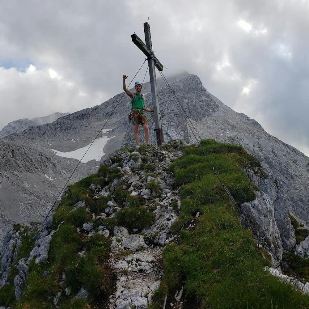
Bernadeinkopf via Mauerlaufersteig
Trail Running Severe
- Distance
- 18 km
- Ascent
- 1.7 km
- Descent
- 1.7 km
- Duration
- 4-5 hrs
- Low Point
- 756 m
- High Point
- 2.2 km
- Gradient
- 24˚

This is a popular trail running route which is generally considered to be severe. It's not remote, it features extreme exposure and is typically done between June and September. From a low point of 756 m to the maximum altitude of 2.2 km, the route covers 18 km, 1741 vertical metres of ascent and 1744 vertical metres of descent.
- •
- •
- •
- •
- •
- •
- •
- •
Description
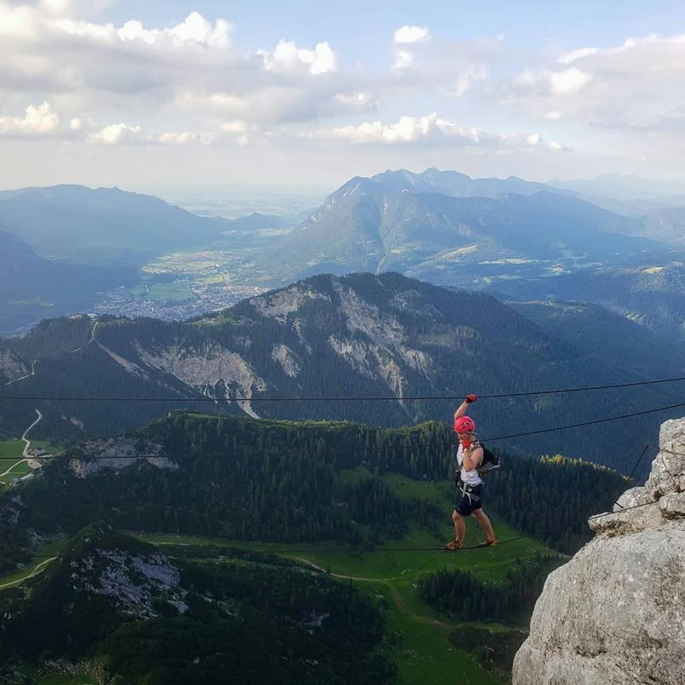
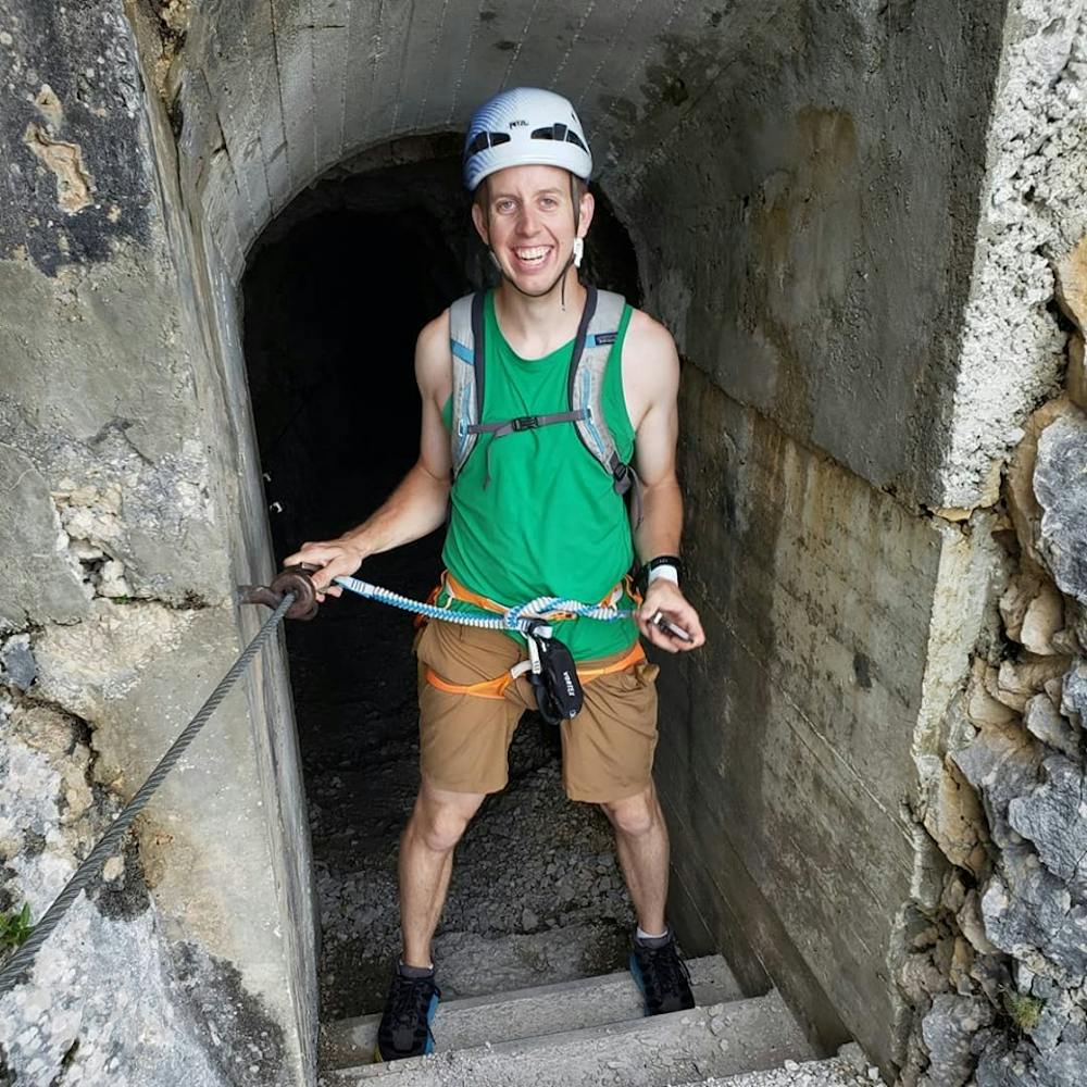
4700ft of gain, 12 miles round trip, 300m D/E rated Klettersteig to the top of Bernadeinkopf
Difficulty
Severe
Extreme Exposure

Some trail sections are extremely exposed where falling will almost certainly result in serious injury or death.
Remoteness

Close to help in case of emergency.