9.6 km away
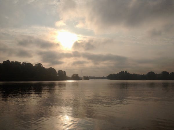
Groß Glienicker See Loop
Discover the natural and historical wonders of Groß Glienicke by foot.
Easy Hiking
- Distance
- 6.2 km
- Ascent
- 36 m
- Descent
- 36 m
A pleasant walk through Grunewald forest to Teufelssee, the “Devil’s Lake.”
Hiking Easy

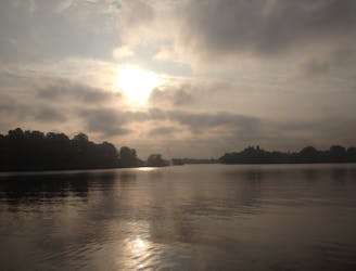
In the southwest of Berlin lies the sprawling forest of Grunewald, with many unusual gems hidden amongst its trees: the Teufelsberg listening tower used by American spies during the Cold War, the Grunewaldturm, an 18th-century tower commemorating Wilhelm I, and Teufelssee, or “the devil’s lake,” a secluded nudist (FKK) lake. Many Berliners enjoy swimming and chilling on the lake’s floating platoon throughout the summer. It's easily accessible by public transport from Berlin and tends to not be as crowded as other inner-city lakes.
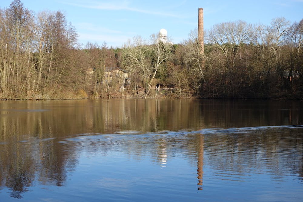
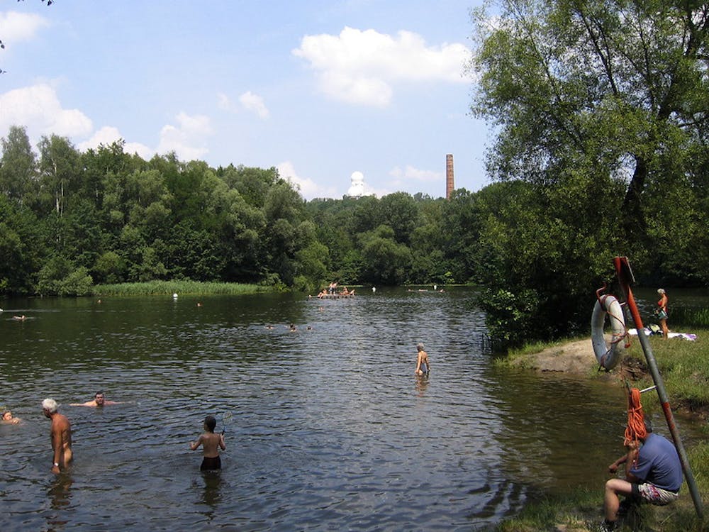
Take the S-Bahn to Berlin- Grunewald. When you exit the station, cross the road and follow the footpath into the forest. You will pass a former sand mining pit on your left, just before you get to the path coming off to the right directing you to Teufelssee. At the lake, follow the shoreline around to the left to find a quieter, more secluded patch. Once you’re done enjoying the lake, go back to the train station in the direction from which you came.
Easy
Walking along a well-kept trail that’s mostly flat. No obstacles are present.

The path is on completely flat land and potential injury is limited to falling over.
Close to help in case of emergency.
9.6 km away
Discover the natural and historical wonders of Groß Glienicke by foot.
Easy Hiking
6 routes · Gravel Biking · Hiking
5 routes · Hiking