5 routes · Mountain Biking
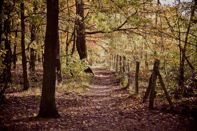
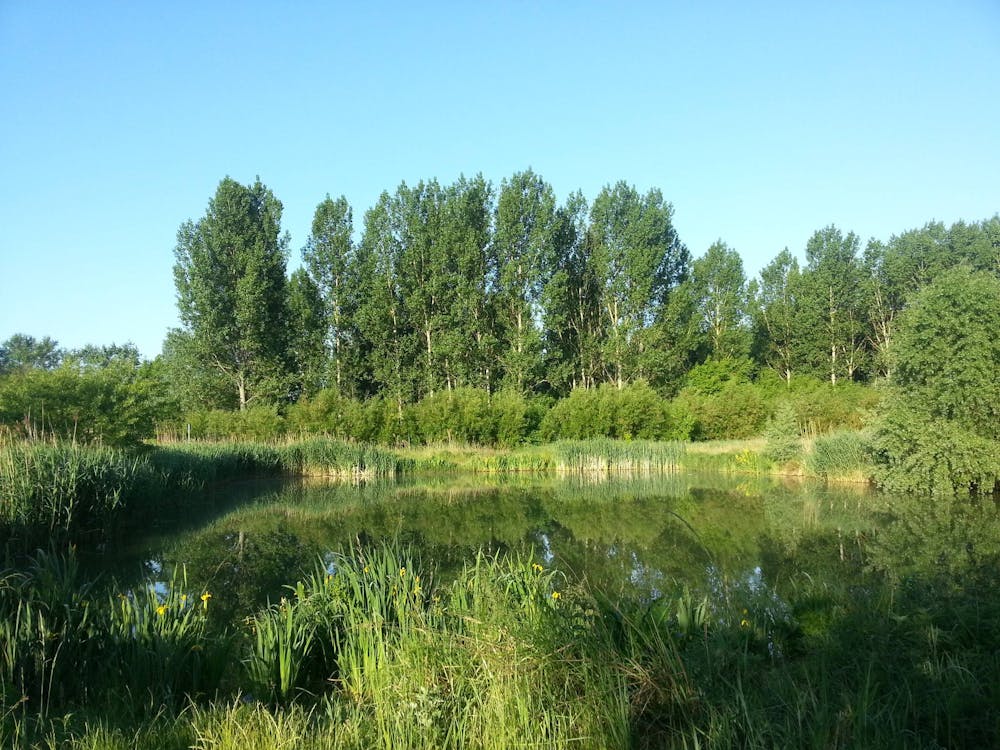
Discover one of the greenest areas and highest hills near Berlin.
Mountain Biking Moderate

In Berlin’s eastern district of Pankow you’ll find one of the highest points of Berlin: the Arkenberge hill at 120.7m. So there’s a good chance for a bit of downhill here, which is often hard to find in Germany’s notoriously flat capital city! The trail also includes a long stretch through green countryside, so you feel like you’ve really left the city behind you. Conveniently, the ride starts and ends at the very well connected Prenzlauer Allee station.
Moderate
Mostly stable trail tread with some variability, with unavoidable obstacles 8in/20cm tall or less. Other obstacles such as rock gullies and steep sections may exist. Ideal for lower intermediate riders.

Close to help in case of emergency.
5 routes · Mountain Biking