5 routes · Mountain Biking
Head west of Berlin to Teufelsberg, or “Devil’s Mountain,” for some prime Berlin MTB.
Mountain Biking Moderate

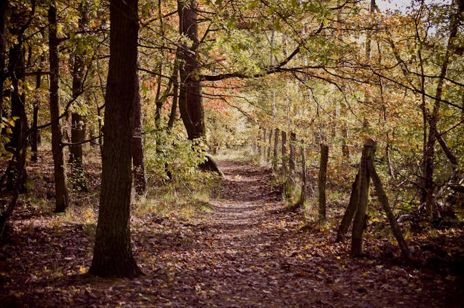
Teufelsberg is one of the highest points in Berlin, where mountain bikers can get up to 350m of vertical. You’ll find Teufelsberg in Grunewald, a 3,000-hectare expanse of forest next to the Havel River in west Berlin.
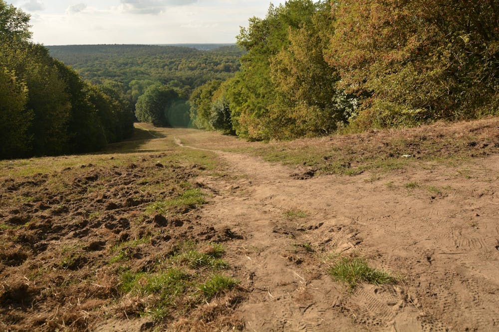
Like most of the MTB trails in the area, this one is natural, with some flowing corners, but lacking a bit of technical challenge. The highlight is, of course, the trail's highest point, which will see you race down Teufelsberg before being launched into the surrounding forest. The trail starts at Grunewald station, an easy-to-reach destination from central Berlin.
Moderate
Mostly stable trail tread with some variability, with unavoidable obstacles 8in/20cm tall or less. Other obstacles such as rock gullies and steep sections may exist. Ideal for lower intermediate riders.

The path is on completely flat land and potential injury is limited to falling over.
Close to help in case of emergency.
5 routes · Mountain Biking