2.4 km away
Treptower Park -> Müggelsee -> Wuhlheide Loop
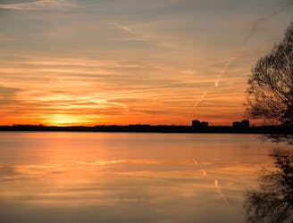
Bike from Treptower Park through the leafiest part of east Berlin to Müggelsee and back.
Easy Road Biking
- Distance
- 49 km
- Ascent
- 98 m
- Descent
- 98 m
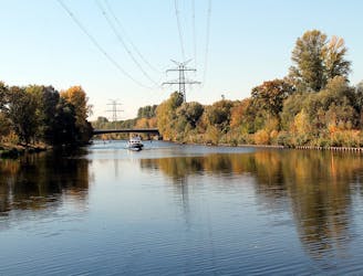
Through the forest - bike path through the Wuhlheide Loop from Rummelsburg station. Great view here. Always nice if you can see the TV tower in the background.
Road Biking Moderate

This is a popular road biking route which is generally considered to be moderate. It's an unknown remoteness, it features unknown exposure and is typically done in an unknown time of year. From a low point of 32 m to the maximum altitude of 41 m, the route covers 50 km, 101 vertical metres of ascent and 101 vertical metres of descent.

To ride great with every category of bike. With the road bike but better during the week, because the way is then not so busy.
Moderate
2.4 km away
Bike from Treptower Park through the leafiest part of east Berlin to Müggelsee and back.
Easy Road Biking
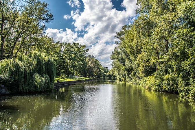
7.9 km away
Cycle along Berlin’s much loved river Spree and one of its main canals.
Moderate Road Biking
8.5 km away
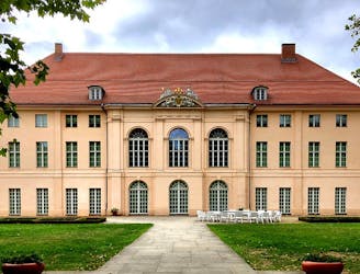
Pedal out from Prenzlauer Berg to Pankow's beautiful baroque castle.
Moderate Road Biking
5 routes · Gravel Biking · Road Biking