121 m away
Schlosspark Niederschönhausen Loop
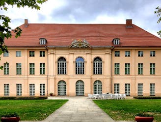
Pedal out from Prenzlauer Berg to Pankow's beautiful baroque castle.
Moderate Road Biking
- Distance
- 23 km
- Ascent
- 57 m
- Descent
- 57 m
Beautiful along the Panke - Schlosspark Niederschönhausen Loop from Schönhauser Allee
Road Biking Easy

This is a popular road biking route which is generally considered to be easy. It's an unknown remoteness, it features unknown exposure and is typically done in an unknown time of year. From a low point of 42 m to the maximum altitude of 60 m, the route covers 24 km, 77 vertical metres of ascent and 77 vertical metres of descent.

Easy
121 m away
Pedal out from Prenzlauer Berg to Pankow's beautiful baroque castle.
Moderate Road Biking
3.8 km away
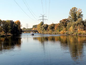
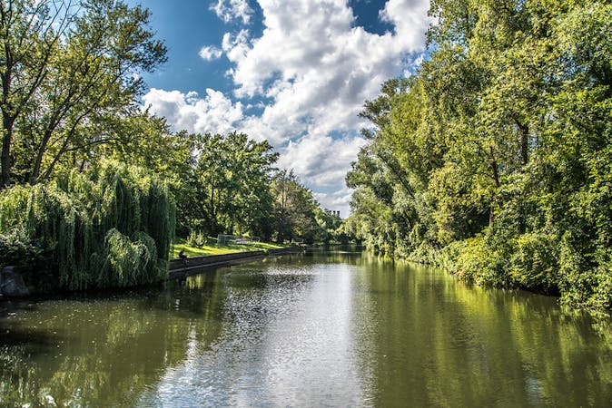
Cycle along Berlin’s much loved river Spree and one of its main canals.
Moderate Road Biking
6.4 km away
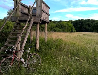
Pass through plenty of parks, along a river, and around a lake in this 36km bike loop along part of the Berliner Mauerweg (Berlin Wall) trail.
Moderate Road Biking
7 km away
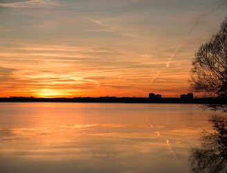
Bike from Treptower Park through the leafiest part of east Berlin to Müggelsee and back.
Easy Road Biking
5 routes · Gravel Biking · Road Biking