59 m away
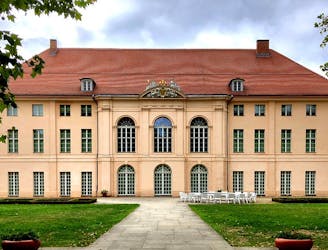
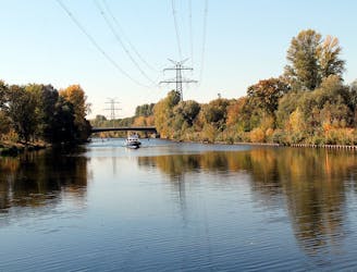
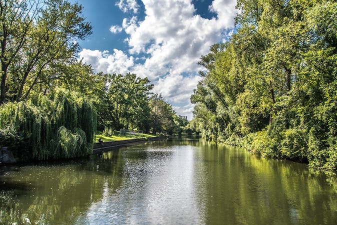
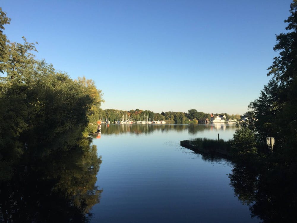
Tegeler See and Berlin Wall Trail Loop
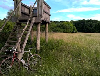
Pass through plenty of parks, along a river, and around a lake in this 36km bike loop along part of the Berliner Mauerweg (Berlin Wall) trail.
Moderate Road Biking
- Distance
- 37 km
- Ascent
- 115 m
- Descent
- 116 m