7.3 km away
Spreeway and the Berlin-Spandau Ship Canal Loop
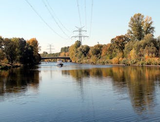
Cycle along Berlin’s much loved river Spree and one of its main canals.
Moderate Road Biking
- Distance
- 36 km
- Ascent
- 129 m
- Descent
- 129 m
Wannsee – Grunewaldturm Loop from Westkreuz station
Road Biking Difficult

This is a popular road biking route which is generally considered to be difficult. It's an unknown remoteness, it features unknown exposure and is typically done in an unknown time of year. From a low point of 29 m to the maximum altitude of 88 m, the route covers 72 km, 563 vertical metres of ascent and 563 vertical metres of descent.
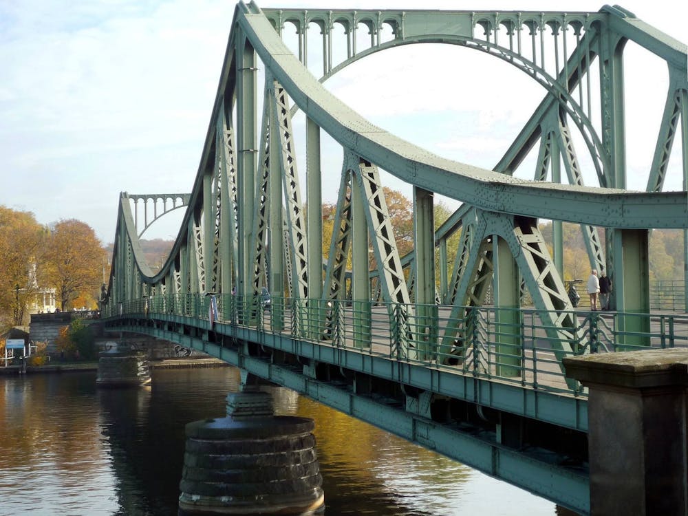
The Wannsee is located in the district Steglitz-Zehlendorf of Berlin, which lies in the extreme southwest of the city. All around you will find many paths and trails that can be incorporated perfectly into a Berlin Gravel Tour.
Difficult
7.3 km away
Cycle along Berlin’s much loved river Spree and one of its main canals.
Moderate Road Biking
9.3 km away
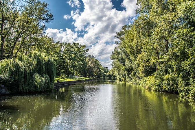
Pass through plenty of parks, along a river, and around a lake in this 36km bike loop along part of the Berliner Mauerweg (Berlin Wall) trail.
Moderate Road Biking
5 routes · Gravel Biking · Road Biking