6 routes · Gravel Biking · Hiking
An easy, half day hike around a beautiful lake with an option to ferry across to the island
Hiking Easy

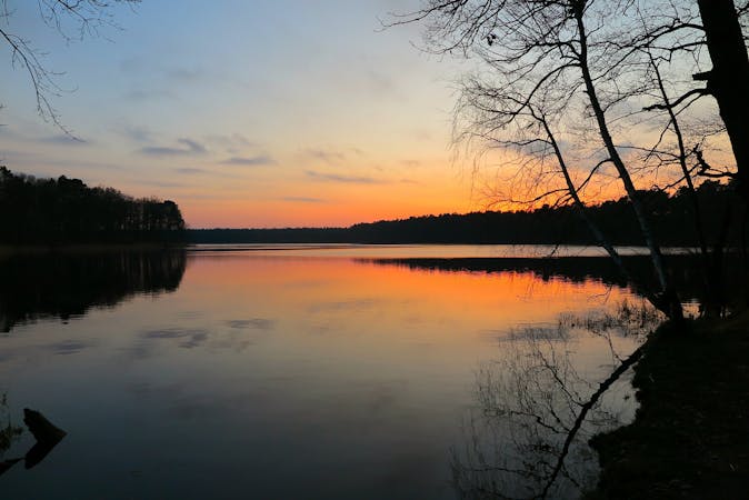
Although you exit the train station almost directly on Wandlitzsee lake, making the short walk to Liepnitzsee is worth it as you have great views of the island and the option to jump on the ferry to the island, or even cut off some of the route if you don't wish to complete the eastern part. There are plenty of refreshment stops, and the route is easy to navigate as the lake acts as a constant reference.
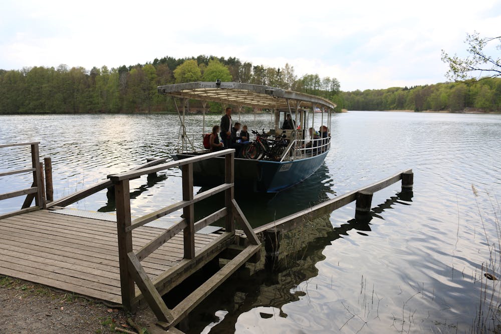

This route is easily accessed by public transport by taking the S2 and then RB27 from Berlin centre, which takes 40-60 minutes. When you exit the train station you are almost directly opposite the Tourist office for the area if you wish to pick up a leaflet, information about the island and the ferry trip can be found here: http://www.liepnitzinsel.de/faehre.php
The route can be hiked clockwise or anti-clockwise depending on your preference once you hit the lake. To get to the lake make way to SE Lanker Weg main road and continue along this until you hit Liepnitzsee Road follow this until you hit the lake and then you can choose the direction to loop around. Be aware that on the east side of the lake there are limited crossings so you have to leave its banks and cross in Ützdorf.
The highlight of the trip is undoubtedly the ferry crossing which you can get from the north or south side of the lake to the island which contains a beer garden and refreshment stops, but don't forget about the beautiful lookout point on the north shore, from where you get almost 270 degree views of the lake.
Another highlight is the Waldbad Liepnitzsee which is a guarded beach and opens from the beginning of May until the end of September.
Be aware that on the east side of the lake there are limited crossings, so you have to leave its banks and cross in Ützdorf.
Easy
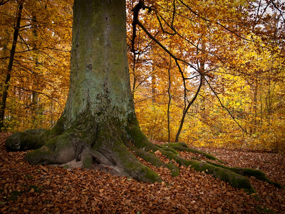
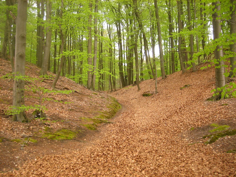
Walking along a well-kept trail that’s mostly flat. No obstacles are present.

The trail contains some obstacles such as outcroppings and rock which could cause injury.

Close to help in case of emergency.
6 routes · Gravel Biking · Hiking