15 m away
Trail Park Winterberg

A great trail park with fun, flowy blues to challenging, techy blacks.
Moderate Mountain Biking
- Distance
- 10 km
- Ascent
- 354 m
- Descent
- 355 m
Nice loop that connects four trails of different styles, first trail is the most technical of the trailpark, the rest quite laid back to enjoy the pleasure of biking.
Mountain Biking Moderate

This is a popular mountain biking route which is generally considered to be moderate. It's remote, it features medium exposure and is typically done between May and October. From a low point of 640 m to the maximum altitude of 808 m, the route covers 6.9 km, 225 vertical metres of ascent and 225 vertical metres of descent.
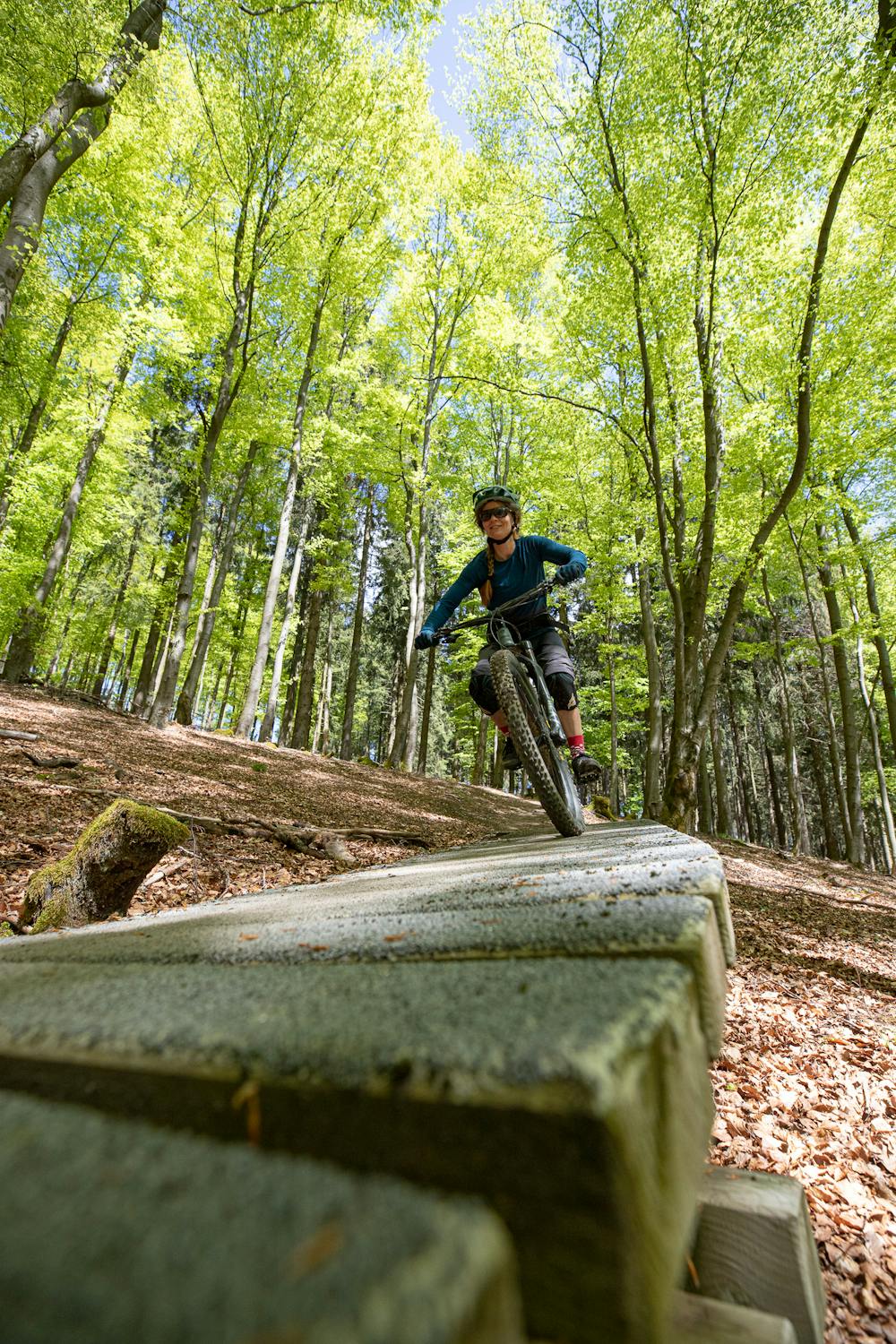
Great lap to figure out how the bike behaves in technical and also flowy terrain, as well as during uphills.
Moderate
Mostly stable trail tread with some variability, with unavoidable obstacles 8in/20cm tall or less. Other obstacles such as rock gullies and steep sections may exist. Ideal for lower intermediate riders.

The trail contains some obstacles such as outcroppings and rock which could cause injury.
Away from help but easily accessed.
15 m away
A great trail park with fun, flowy blues to challenging, techy blacks.
Moderate Mountain Biking