15 m away
Trail Park Winterberg
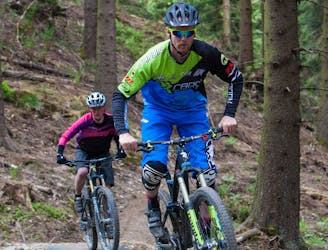
A great trail park with fun, flowy blues to challenging, techy blacks.
Moderate Mountain Biking
- Distance
- 10 km
- Ascent
- 354 m
- Descent
- 355 m
This loop connects three trails that will be able to get a good impression of your demo bike. Roots, rocky sections and handbill turns are going to deliver a ton of fun.
Mountain Biking Moderate

This is a popular mountain biking route which is generally considered to be moderate. It's remote, it features medium exposure and is typically done between May and October. From a low point of 641 m to the maximum altitude of 755 m, the route covers 5.5 km, 174 vertical metres of ascent and 174 vertical metres of descent.
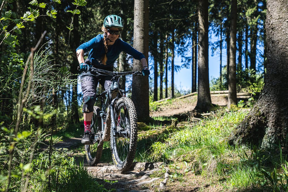
Versatile loop with a bunch of fun trail. Roots, berms, pedaling...you get the whole enduro package!
Moderate
Mostly stable trail tread with some variability, with unavoidable obstacles 8in/20cm tall or less. Other obstacles such as rock gullies and steep sections may exist. Ideal for lower intermediate riders.

The trail contains some obstacles such as outcroppings and rock which could cause injury.
Away from help but easily accessed.
15 m away
A great trail park with fun, flowy blues to challenging, techy blacks.
Moderate Mountain Biking