15 m away
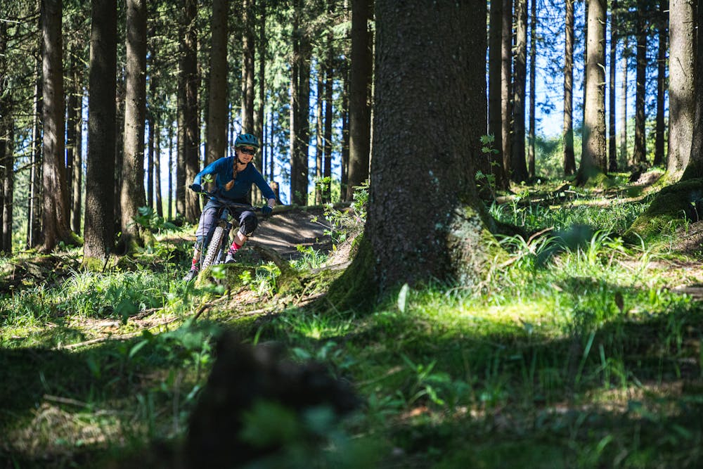
Trail Park Winterberg

A great trail park with fun, flowy blues to challenging, techy blacks.
Moderate Mountain Biking
- Distance
- 10 km
- Ascent
- 354 m
- Descent
- 355 m
Easy Uphills bring you to two trails, the first one is rather natural and rooty and the second one rather flowy with handbuilt turns.
Mountain Biking Easy

This is a popular mountain biking route which is generally considered to be easy. It's remote, it features medium exposure and is typically done between May and October. From a low point of 695 m to the maximum altitude of 806 m, the route covers 3.9 km, 120 vertical metres of ascent and 120 vertical metres of descent.
Great lap to figure out the skills of your suspension and how your bike behaves in turns.
Easy
Mostly smooth and non-technical singletrack with unavoidable obstacles 2in/5cm tall or less. Avoidable obstacles may be present. Ideal for beginner riders.

The trail contains some obstacles such as outcroppings and rock which could cause injury.
Away from help but easily accessed.
15 m away
A great trail park with fun, flowy blues to challenging, techy blacks.
Moderate Mountain Biking