5.4 km away
Sunset Peak
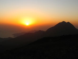
Sunset Peak hike on Lantau Island is a heroic stairway climbing challenge to one of the best viewpoints in Hong Kong.
Difficult Hiking
- Distance
- 5.1 km
- Ascent
- 766 m
- Descent
- 511 m
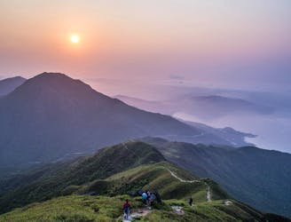
Sunset Peak & Lantau Peak
Hiking Difficult

This is a popular hiking route which is generally considered to be difficult. It's not remote, it features high exposure and is typically done between October and April. From a low point of 2 m to the maximum altitude of 889 m, the route covers 19 km, 1651 vertical metres of ascent and 1645 vertical metres of descent.
A hike that covers the 2 peaks on Lantau Island, Sunset Peak and Lantau Peak. fun up til Pak Kung Au, then the stairs and the hurt start
Difficult
Hiking trails where obstacles such as rocks or roots are prevalent. Some obstacles can require care to step over or around. At times, the trail can be worn and eroded. The grade of the trail is generally quite steep, and can often lead to strenuous hiking.

Some trail sections have exposed ledges or steep ascents/descents where falling could cause serious injury.

Close to help in case of emergency.
5.4 km away
Sunset Peak hike on Lantau Island is a heroic stairway climbing challenge to one of the best viewpoints in Hong Kong.
Difficult Hiking
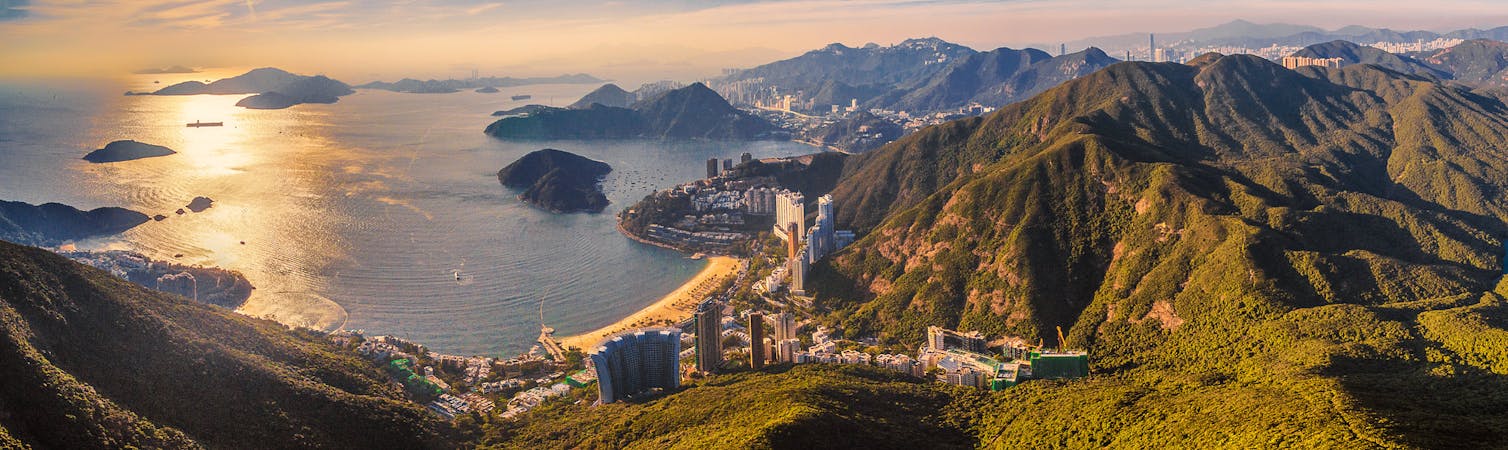
6.3 km away
Head up Hong Kong's second tallest peak for a heart-thumping, extremely scenic hike.
Difficult Hiking
6 routes · Hiking