2.1 km away
Sunset Peak
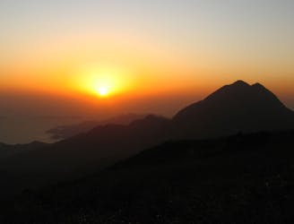
Sunset Peak hike on Lantau Island is a heroic stairway climbing challenge to one of the best viewpoints in Hong Kong.
Difficult Hiking
- Distance
- 5.1 km
- Ascent
- 766 m
- Descent
- 511 m
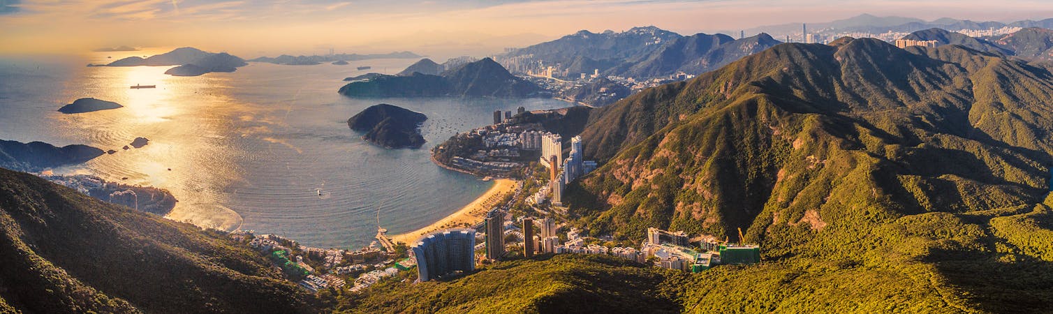
Nice easy to do hike
Hiking Easy

This is a popular hiking route which is generally considered to be easy. It's not remote, it features medium exposure and is typically done all year round. From a low point of 1 m to the maximum altitude of 180 m, the route covers 10 km, 316 vertical metres of ascent and 323 vertical metres of descent.
Easy nice hike, beginner friendly
Easy
Walking along a well-kept trail that’s mostly flat. No obstacles are present.

The trail contains some obstacles such as outcroppings and rock which could cause injury.

Close to help in case of emergency.
2.1 km away
Sunset Peak hike on Lantau Island is a heroic stairway climbing challenge to one of the best viewpoints in Hong Kong.
Difficult Hiking
4.6 km away
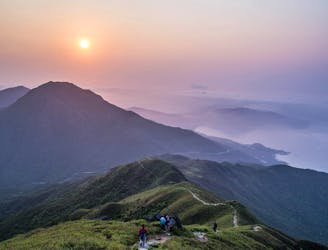
Head up Hong Kong's second tallest peak for a heart-thumping, extremely scenic hike.
Difficult Hiking
6 routes · Hiking